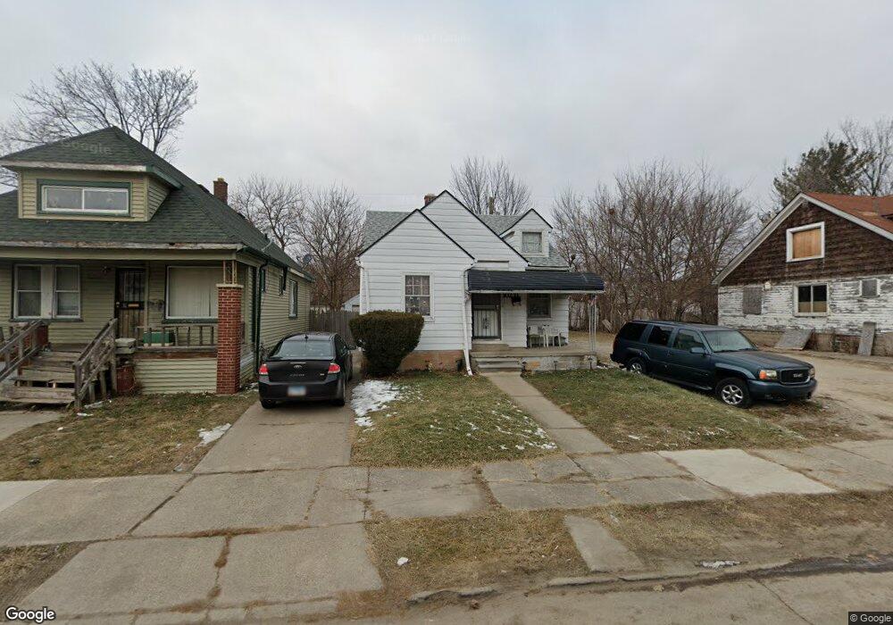
10231 Nottingham Rd Detroit, MI 48224
Outer Drive-Hayes NeighborhoodEstimated Value: $62,000 - $93,000
--
Bed
2
Baths
1,038
Sq Ft
$70/Sq Ft
Est. Value
About This Home
This home is located at 10231 Nottingham Rd, Detroit, MI 48224 and is currently estimated at $72,801, approximately $70 per square foot. 10231 Nottingham Rd is a home located in Wayne County with nearby schools including Wayne Elementary School, Edward 'Duke' Ellington Conservatory of Music and Art, and Charles L. Spain Elementary-Middle School.
Ownership History
Date
Name
Owned For
Owner Type
Purchase Details
Closed on
Oct 14, 2004
Sold by
Hud
Bought by
Onayemi Simisola
Current Estimated Value
Purchase Details
Closed on
Oct 23, 2003
Sold by
Charter One Bank Fsb
Bought by
Hud
Purchase Details
Closed on
Aug 27, 2003
Sold by
Smith Tisha A
Bought by
Charter One Bank Fsb
Purchase Details
Closed on
Dec 29, 2000
Sold by
Judd James
Bought by
Smith Tisha A
Purchase Details
Closed on
Sep 21, 1995
Sold by
Davis Albert A and Davis Gloria
Bought by
Buckley Bobby
Create a Home Valuation Report for This Property
The Home Valuation Report is an in-depth analysis detailing your home's value as well as a comparison with similar homes in the area
Home Values in the Area
Average Home Value in this Area
Purchase History
| Date | Buyer | Sale Price | Title Company |
|---|---|---|---|
| Onayemi Simisola | $34,205 | -- | |
| Hud | -- | -- | |
| Charter One Bank Fsb | $69,909 | -- | |
| Smith Tisha A | $60,000 | -- | |
| Buckley Bobby | -- | -- |
Source: Public Records
Tax History Compared to Growth
Tax History
| Year | Tax Paid | Tax Assessment Tax Assessment Total Assessment is a certain percentage of the fair market value that is determined by local assessors to be the total taxable value of land and additions on the property. | Land | Improvement |
|---|---|---|---|---|
| 2025 | $815 | $20,500 | $0 | $0 |
| 2024 | $815 | $17,000 | $0 | $0 |
| 2023 | $790 | $13,600 | $0 | $0 |
| 2022 | $835 | $11,800 | $0 | $0 |
| 2021 | $815 | $9,800 | $0 | $0 |
| 2020 | $815 | $9,300 | $0 | $0 |
| 2019 | $804 | $7,900 | $0 | $0 |
| 2018 | $719 | $6,500 | $0 | $0 |
| 2017 | $116 | $6,100 | $0 | $0 |
| 2016 | $1,272 | $13,700 | $0 | $0 |
| 2015 | $1,370 | $13,700 | $0 | $0 |
| 2013 | $1,906 | $19,056 | $0 | $0 |
| 2010 | -- | $27,940 | $836 | $27,104 |
Source: Public Records
Map
Nearby Homes
- 10326 Beaconsfield St
- 10172 Somerset Ave
- 10029 Balfour Rd
- 10345 Greensboro St
- 9899 Balfour Rd
- 10468 Nottingham Rd
- 10521 Roxbury St
- 10731 Roxbury St
- 10415 Roxbury St
- 10390 Somerset Ave
- 10366 Roxbury St
- 10508 Nottingham Rd
- 10404 Somerset Ave
- 10597 Beaconsfield St
- 9910 Somerset Ave
- 10336 Roxbury St
- 9610 Whittier St
- 10603 Lakepointe St
- 10468 Lakepointe St
- 10811 Roxbury St
- 10237 Nottingham Rd
- 10245 Nottingham Rd
- 10225 Nottingham Rd
- 10251 Nottingham Rd
- 10219 Nottingham Rd
- 10211 Nottingham Rd
- 10230 Nottingham Rd
- 10334 Beaconsfield St
- 10318 Beaconsfield St
- 10346 Beaconsfield St
- 10259 Nottingham Rd
- 10201 Nottingham Rd
- 10216 Nottingham Rd
- 10310 Beaconsfield St
- 10352 Beaconsfield St
- 10265 Nottingham Rd
- 10242 Nottingham Rd
- 10238 Nottingham Rd
- 10300 Beaconsfield St
- 10224 Nottingham Rd