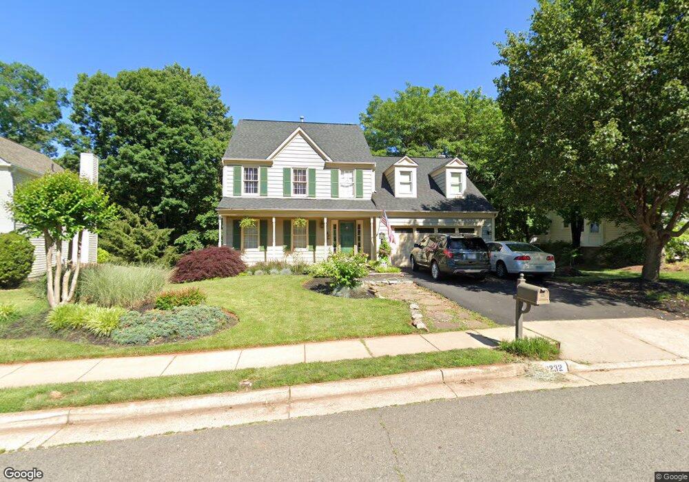
10232 Winged Elm Cir Manassas, VA 20110
Estimated Value: $657,626 - $727,000
4
Beds
3
Baths
2,227
Sq Ft
$314/Sq Ft
Est. Value
About This Home
This home is located at 10232 Winged Elm Cir, Manassas, VA 20110 and is currently estimated at $699,157, approximately $313 per square foot. 10232 Winged Elm Cir is a home located in Prince William County with nearby schools including Bennett Elementary School, Parkside Middle School, and Brentsville District High School.
Ownership History
Date
Name
Owned For
Owner Type
Purchase Details
Closed on
May 4, 1998
Sold by
Ennis John A and Ennis Lisa A
Bought by
Blesi Matthew N and Blesi Michelle D
Current Estimated Value
Home Financials for this Owner
Home Financials are based on the most recent Mortgage that was taken out on this home.
Original Mortgage
$157,600
Outstanding Balance
$30,633
Interest Rate
7.04%
Mortgage Type
New Conventional
Estimated Equity
$668,524
Create a Home Valuation Report for This Property
The Home Valuation Report is an in-depth analysis detailing your home's value as well as a comparison with similar homes in the area
Home Values in the Area
Average Home Value in this Area
Purchase History
| Date | Buyer | Sale Price | Title Company |
|---|---|---|---|
| Blesi Matthew N | $197,000 | -- |
Source: Public Records
Mortgage History
| Date | Status | Borrower | Loan Amount |
|---|---|---|---|
| Open | Blesi Matthew N | $157,600 |
Source: Public Records
Tax History Compared to Growth
Tax History
| Year | Tax Paid | Tax Assessment Tax Assessment Total Assessment is a certain percentage of the fair market value that is determined by local assessors to be the total taxable value of land and additions on the property. | Land | Improvement |
|---|---|---|---|---|
| 2025 | $5,401 | $579,100 | $190,000 | $389,100 |
| 2024 | $5,401 | $543,100 | $180,900 | $362,200 |
| 2023 | $5,333 | $512,500 | $165,600 | $346,900 |
| 2022 | $5,468 | $483,400 | $154,500 | $328,900 |
| 2021 | $5,195 | $424,700 | $130,800 | $293,900 |
| 2020 | $6,197 | $399,800 | $119,900 | $279,900 |
| 2019 | $6,146 | $396,500 | $119,900 | $276,600 |
| 2018 | $4,617 | $382,400 | $114,300 | $268,100 |
| 2017 | $4,591 | $371,400 | $114,300 | $257,100 |
| 2016 | $4,393 | $358,500 | $114,300 | $244,200 |
| 2015 | $4,263 | $355,200 | $114,300 | $240,900 |
| 2014 | $4,263 | $340,200 | $110,900 | $229,300 |
Source: Public Records
Map
Nearby Homes
- 10244 Winged Elm Cir
- 10385 Lime Tree Ct
- 10177 Queens Way
- 10173 Queens Way
- 10165 Queens Way
- 10161 Queens Way
- 10157 Queens Way
- 10153 Queens Way
- BALMORAL Plan at Kings Landing
- HIGHGROVE Plan at Kings Landing
- 10073 Loblolly Trail
- 10114 Queens Way
- 10106 Queens Way
- 10102 Queens Way
- 10118 Queens Way
- 10130 Queens Way
- 10436 Ratcliffe Trail
- 10576 Coral Berry Dr
- 9626 Autumn Place
- 10941 Samuel Trexler Dr
- 10236 Winged Elm Cir
- 10228 Winged Elm Cir
- 10224 Winged Elm Cir
- 10240 Winged Elm Cir
- 10229 Winged Elm Cir
- 10237 Winged Elm Cir
- 10225 Winged Elm Cir
- 10220 Winged Elm Cir
- 10221 Winged Elm Cir
- 10241 Winged Elm Cir
- 10248 Winged Elm Cir
- 10216 Winged Elm Cir
- 10233 Winged Elm Cir
- 10245 Winged Elm Cir
- 10217 Winged Elm Cir
- 10252 Winged Elm Cir
- 10212 Winged Elm Cir
- 10108 Grape Myrtle Ct
- 10249 Winged Elm Cir
- 10097 Coffee Tree Ct