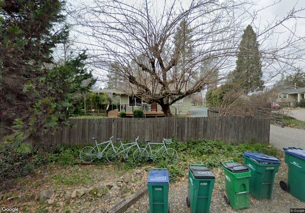
10234 Gold Dr Grass Valley, CA 95945
Estimated Value: $326,000 - $409,000
2
Beds
1
Bath
831
Sq Ft
$438/Sq Ft
Est. Value
About This Home
This home is located at 10234 Gold Dr, Grass Valley, CA 95945 and is currently estimated at $363,913, approximately $437 per square foot. 10234 Gold Dr is a home located in Nevada County with nearby schools including Margaret G. Scotten Elementary School, Bell Hill Academy, and Lyman Gilmore Middle School.
Ownership History
Date
Name
Owned For
Owner Type
Purchase Details
Closed on
May 14, 2025
Sold by
Herrill Brenda
Bought by
Brenda Herrill Trust and Herrill
Current Estimated Value
Purchase Details
Closed on
May 13, 2002
Sold by
Hugghins Erick S
Bought by
Herrill Brenda
Home Financials for this Owner
Home Financials are based on the most recent Mortgage that was taken out on this home.
Original Mortgage
$153,000
Interest Rate
6.89%
Create a Home Valuation Report for This Property
The Home Valuation Report is an in-depth analysis detailing your home's value as well as a comparison with similar homes in the area
Home Values in the Area
Average Home Value in this Area
Purchase History
| Date | Buyer | Sale Price | Title Company |
|---|---|---|---|
| Brenda Herrill Trust | -- | None Listed On Document | |
| Herrill Brenda | $198,000 | Inter County Title Co |
Source: Public Records
Mortgage History
| Date | Status | Borrower | Loan Amount |
|---|---|---|---|
| Previous Owner | Herrill Brenda | $153,000 |
Source: Public Records
Tax History
| Year | Tax Paid | Tax Assessment Tax Assessment Total Assessment is a certain percentage of the fair market value that is determined by local assessors to be the total taxable value of land and additions on the property. | Land | Improvement |
|---|---|---|---|---|
| 2025 | $3,257 | $292,478 | $125,557 | $166,921 |
| 2024 | $3,233 | $286,745 | $123,096 | $163,649 |
| 2023 | $3,233 | $281,124 | $120,683 | $160,441 |
| 2022 | $3,200 | $275,613 | $118,317 | $157,296 |
| 2021 | $3,114 | $270,210 | $115,998 | $154,212 |
| 2020 | $3,108 | $267,440 | $114,809 | $152,631 |
| 2019 | $2,982 | $262,197 | $112,558 | $149,639 |
| 2018 | $2,966 | $257,056 | $110,351 | $146,705 |
| 2017 | $2,850 | $252,017 | $108,188 | $143,829 |
| 2016 | $2,748 | $247,076 | $106,067 | $141,009 |
| 2015 | $2,708 | $243,365 | $104,474 | $138,891 |
| 2014 | $2,666 | $238,599 | $102,428 | $136,171 |
Source: Public Records
Map
Nearby Homes
- 10530 Walker Dr
- 10978 Squirrel Creek Rd
- 11360 Rough And Ready Hwy
- 10149 East Dr
- 10091 East Dr
- 11312 Alpine Ln
- 11195 Alpine Ln
- 13207 Ridge Rd
- 10090 West Dr
- 230 Scotia Pines Cir
- 46 Wendy Cir
- 12383 Rough And Ready Hwy
- 65 Primrose Ln
- 13006 Ridge Rd
- 143 Scotia Pines Cir
- 132 Ben Taylor Crossing
- 124 Ben Taylor Crossing
- 118 Ben Taylor Crossing
- 112 Ben Taylor Crossing
- 12930 Ridge Rd
Your Personal Tour Guide
Ask me questions while you tour the home.