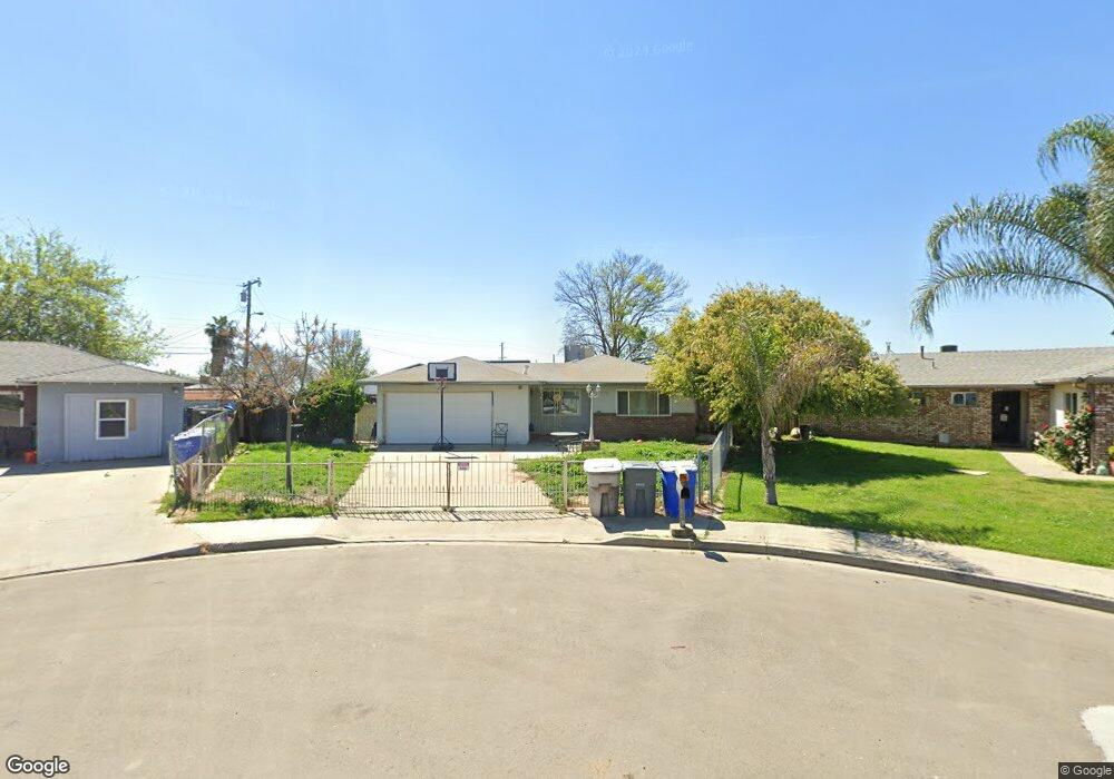
10235 Heath St Hanford, CA 93230
Estimated Value: $200,000 - $289,000
3
Beds
2
Baths
1,044
Sq Ft
$244/Sq Ft
Est. Value
About This Home
This home is located at 10235 Heath St, Hanford, CA 93230 and is currently estimated at $255,168, approximately $244 per square foot. 10235 Heath St is a home located in Kings County with nearby schools including Lakeside Elementary School, Hanford High School, and New Testament Baptist School.
Ownership History
Date
Name
Owned For
Owner Type
Purchase Details
Closed on
Jun 7, 2000
Sold by
Robinson John T
Bought by
Robinson William and Robinson Sonja
Current Estimated Value
Purchase Details
Closed on
Apr 6, 2000
Sold by
Robinson William P L and Robinson Sonja L
Bought by
Mendoza Elizabeth
Home Financials for this Owner
Home Financials are based on the most recent Mortgage that was taken out on this home.
Original Mortgage
$56,646
Outstanding Balance
$19,393
Interest Rate
8.22%
Mortgage Type
FHA
Estimated Equity
$235,775
Create a Home Valuation Report for This Property
The Home Valuation Report is an in-depth analysis detailing your home's value as well as a comparison with similar homes in the area
Home Values in the Area
Average Home Value in this Area
Purchase History
| Date | Buyer | Sale Price | Title Company |
|---|---|---|---|
| Robinson William | -- | First American Title Co | |
| Mendoza Elizabeth | -- | Cuesta Title Company |
Source: Public Records
Mortgage History
| Date | Status | Borrower | Loan Amount |
|---|---|---|---|
| Open | Mendoza Elizabeth | $56,646 | |
| Closed | Mendoza Elizabeth | $15,500 |
Source: Public Records
Tax History Compared to Growth
Tax History
| Year | Tax Paid | Tax Assessment Tax Assessment Total Assessment is a certain percentage of the fair market value that is determined by local assessors to be the total taxable value of land and additions on the property. | Land | Improvement |
|---|---|---|---|---|
| 2025 | $1,028 | $106,045 | $30,734 | $75,311 |
| 2023 | $1,028 | $101,930 | $29,542 | $72,388 |
| 2022 | $987 | $99,932 | $28,963 | $70,969 |
| 2021 | $965 | $97,974 | $28,396 | $69,578 |
| 2020 | $964 | $96,970 | $28,105 | $68,865 |
| 2019 | $954 | $95,069 | $27,554 | $67,515 |
| 2018 | $935 | $93,205 | $27,014 | $66,191 |
| 2017 | $913 | $91,377 | $26,484 | $64,893 |
| 2016 | $926 | $89,586 | $25,965 | $63,621 |
| 2015 | $915 | $88,240 | $25,575 | $62,665 |
| 2014 | $903 | $86,511 | $25,074 | $61,437 |
Source: Public Records
Map
Nearby Homes
- 11880 1st Place
- 1936 S Red Rock Dr
- 11544 S 10th Ave
- 1823 W Sunset Ln
- 10050 Camino Ramon
- 59 BR Samuel St
- 3948 13 1 4 Ave
- 53 BR Billingsley St
- 80 BR Samuel St
- 55 BR Billingsley St
- 82 BR Samuel St
- 0 Iona Ave Unit 235981
- 58 BR Samuel St
- 8886 Lilly Way
- 0 Unit MC25191909
- 79 BR Samuel St
- 56 BR Samuel St
- 81 BR Samuel St
- 83 BR Samuel St
- 54 BR Billingsley St
- 10223 Heath St
- 11932 Margo Ln
- 10211 Heath St
- 10240 Houston Ave
- 10228 Houston Ave
- 11920 Margo Ln
- 10216 Houston Ave
- 10199 Heath St
- 11908 Margo Ln
- 10210 Heath St
- 10204 Houston Ave
- 10189 Heath St
- 10198 Heath St
- 10192 Houston Ave
- 10211 Libbie Ln
- 10179 Heath St
- 10186 Heath St
- 10199 Libbie Ln
- 10180 Houston Ave
- 10174 Heath St