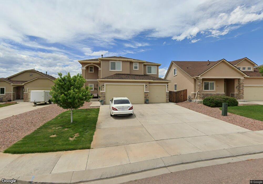
10238 Abrams Dr Colorado Springs, CO 80925
Widefield NeighborhoodEstimated Value: $509,153 - $623,000
5
Beds
4
Baths
2,393
Sq Ft
$234/Sq Ft
Est. Value
About This Home
This home is located at 10238 Abrams Dr, Colorado Springs, CO 80925 and is currently estimated at $560,538, approximately $234 per square foot. 10238 Abrams Dr is a home with nearby schools including Grand Mountain School, Mesa Ridge High School, and Valley Christian Academy.
Ownership History
Date
Name
Owned For
Owner Type
Purchase Details
Closed on
Jan 14, 2022
Sold by
Wayne Tate Kenneth
Bought by
Tate Kenneth Wayne and Tate Stephanie Renee
Current Estimated Value
Purchase Details
Closed on
Oct 31, 2013
Sold by
Windsor Ridge Homes Llc
Bought by
Tate Kenneth Wayne
Home Financials for this Owner
Home Financials are based on the most recent Mortgage that was taken out on this home.
Original Mortgage
$308,450
Interest Rate
4.56%
Mortgage Type
VA
Create a Home Valuation Report for This Property
The Home Valuation Report is an in-depth analysis detailing your home's value as well as a comparison with similar homes in the area
Home Values in the Area
Average Home Value in this Area
Purchase History
| Date | Buyer | Sale Price | Title Company |
|---|---|---|---|
| Tate Kenneth Wayne | -- | New Title Company Name | |
| Tate Kenneth Wayne | $308,500 | Empire Title Co Springs Llc |
Source: Public Records
Mortgage History
| Date | Status | Borrower | Loan Amount |
|---|---|---|---|
| Previous Owner | Tate Kenneth Wayne | $308,450 |
Source: Public Records
Tax History Compared to Growth
Tax History
| Year | Tax Paid | Tax Assessment Tax Assessment Total Assessment is a certain percentage of the fair market value that is determined by local assessors to be the total taxable value of land and additions on the property. | Land | Improvement |
|---|---|---|---|---|
| 2025 | $4,933 | $35,230 | -- | -- |
| 2024 | $3,868 | $36,470 | $6,040 | $30,430 |
| 2022 | $2,680 | $26,310 | $4,810 | $21,500 |
| 2021 | $2,791 | $27,070 | $4,950 | $22,120 |
| 2020 | $2,700 | $26,220 | $4,330 | $21,890 |
| 2019 | $2,691 | $26,220 | $4,330 | $21,890 |
| 2018 | $2,174 | $22,370 | $4,360 | $18,010 |
| 2017 | $2,220 | $22,370 | $4,360 | $18,010 |
| 2016 | $2,102 | $24,200 | $4,380 | $19,820 |
| 2015 | $2,214 | $24,200 | $4,380 | $19,820 |
| 2014 | $3,285 | $24,200 | $4,290 | $19,910 |
Source: Public Records
Map
Nearby Homes
- 10208 Abrams Dr
- 10202 Abrams Dr
- 10868 Deer Meadow Cir
- 10732 Deer Meadow Cir
- 10179 Seawolf Dr
- 6441 Old Glory Dr
- 6431 Old Glory Dr
- 6225 Laurel Grass Range Trail
- 10188 Winter Gem Grove
- 6562 Phantom Way
- 6572 Justice Way
- 6035 White Wolf Point
- 10250 Intrepid Way
- 10394 Abrams Dr
- 6071 Old Glory Dr
- 6241 Old Glory Dr
- 10405 Abrams Dr
- 6231 Old Glory Dr
- 6210 Pilgrimage Rd
- 10604 Deer Meadow Cir
- 10244 Abrams Dr
- 10232 Abrams Dr
- 10250 Abrams Dr
- 10226 Abrams Dr
- 10237R Abrams Dr
- 10256 Abrams Dr
- 10237 Abrams Dr
- 10249 Abrams Dr
- 10220 Abrams Dr
- 10214 Abrams Dr
- 10207 Abrams Dr
- 10262 Abrams Dr
- 10255 Abrams Dr
- 10268 Abrams Dr
- 10267 Abrams Dr
- 10312 Declaration Dr
- 10201 Abrams Dr
- 10318 Declaration Dr
- 10274 Abrams Dr
- 10273 Abrams Dr