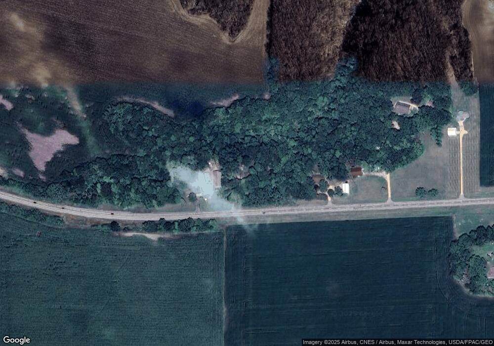
10238 State Highway 68 New Ulm, MN 56073
Estimated Value: $221,000 - $267,000
2
Beds
2
Baths
1,064
Sq Ft
$234/Sq Ft
Est. Value
About This Home
This home is located at 10238 State Highway 68, New Ulm, MN 56073 and is currently estimated at $249,237, approximately $234 per square foot. 10238 State Highway 68 is a home located in Brown County with nearby schools including Washington Elementary School, Jefferson Elementary School, and New Ulm High School.
Ownership History
Date
Name
Owned For
Owner Type
Purchase Details
Closed on
Apr 18, 2014
Sold by
Rodney Rodney
Bought by
Liesenfeld Angela
Current Estimated Value
Purchase Details
Closed on
Jan 28, 2010
Sold by
Rueckert Mildred
Bought by
Fischer Scott M
Home Financials for this Owner
Home Financials are based on the most recent Mortgage that was taken out on this home.
Original Mortgage
$141,350
Interest Rate
5%
Mortgage Type
New Conventional
Create a Home Valuation Report for This Property
The Home Valuation Report is an in-depth analysis detailing your home's value as well as a comparison with similar homes in the area
Home Values in the Area
Average Home Value in this Area
Purchase History
| Date | Buyer | Sale Price | Title Company |
|---|---|---|---|
| Liesenfeld Angela | -- | -- | |
| Fischer Scott M | -- | None Available |
Source: Public Records
Mortgage History
| Date | Status | Borrower | Loan Amount |
|---|---|---|---|
| Previous Owner | Fischer Scott M | $141,350 |
Source: Public Records
Tax History Compared to Growth
Tax History
| Year | Tax Paid | Tax Assessment Tax Assessment Total Assessment is a certain percentage of the fair market value that is determined by local assessors to be the total taxable value of land and additions on the property. | Land | Improvement |
|---|---|---|---|---|
| 2024 | $1,524 | $218,200 | $54,100 | $164,100 |
| 2023 | $1,524 | $211,200 | $54,100 | $157,100 |
| 2022 | $1,299 | $171,700 | $45,800 | $125,900 |
| 2021 | $1,287 | $153,700 | $49,600 | $104,100 |
| 2020 | $1,209 | $150,900 | $45,100 | $105,800 |
| 2019 | $1,191 | $142,800 | $45,100 | $97,700 |
| 2018 | $1,164 | $143,600 | $45,100 | $98,500 |
| 2017 | $1,113 | $136,200 | $42,500 | $93,700 |
| 2016 | $1,060 | $128,997 | $0 | $0 |
| 2015 | -- | $0 | $0 | $0 |
| 2014 | -- | $0 | $0 | $0 |
| 2013 | -- | $0 | $0 | $0 |
Source: Public Records
Map
Nearby Homes
- Tbd Shag Rd Unit LotWP001
- 5XXX Mary Ln
- 5XX Red Shoe Dr
- 355 Tumbler St
- 398 Collin Dr
- 304 Collin Dr
- 310 Collin Dr
- 316 Collin Dr
- 322 Collin Dr
- 328 Collin Dr
- 334 Collin Dr
- 340 Collin Dr
- 363 Tumbler St
- 367 Tumbler St
- 371 Tumbler St
- 326 Ashlynn Ct
- 319 Ashlynn Ct
- 325 Ashlynn Ct
- 327 Ashlynn Ct
- 321 Ashlynn Ct
- 10276 State Highway 68
- 10138 State Highway 68
- 10078 State Highway 68
- 47212 State Highway 68
- 10658 State Highway 68
- 10475 195th St
- 10101 Shag Rd
- 10117 195th St
- 10054 Shag Rd
- 20012 110th Ave
- 47464 State Highway 68
- 10016 Shag Rd
- 10302 Shag Rd
- 47508 State Highway 68
- 20116 110th Ave
- 47572 State Highway 68
- 47434 Apple Rd
- 20110 110th Ave
- 10498 Shag Rd
- 20073 110th Ave