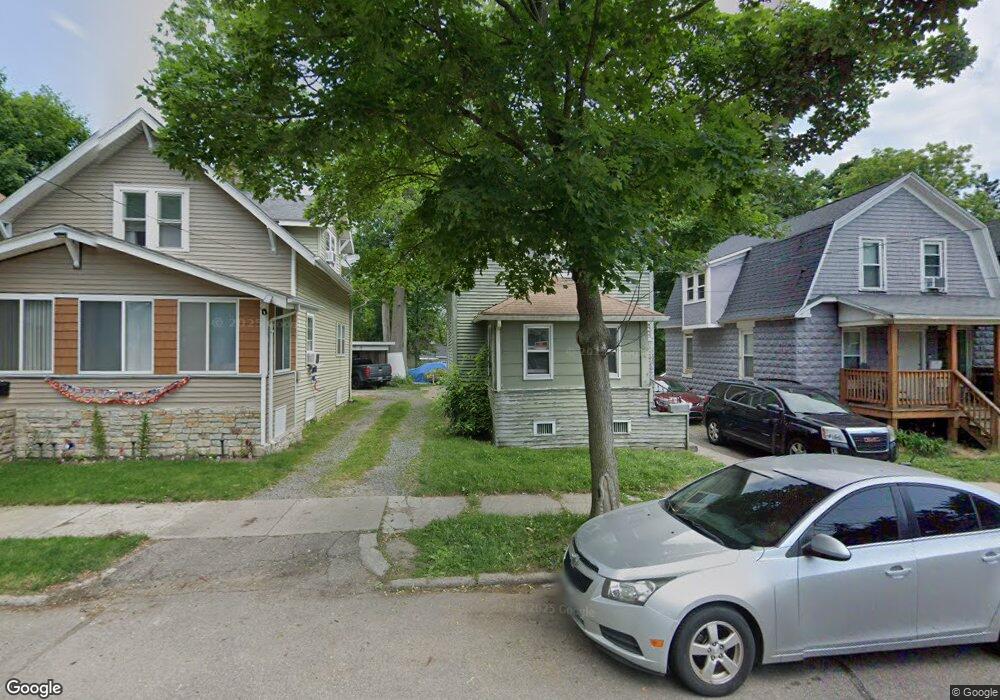
1024 Conant St Kalamazoo, MI 49007
Northside NeighborhoodEstimated Value: $95,000 - $106,560
3
Beds
1
Bath
729
Sq Ft
$140/Sq Ft
Est. Value
About This Home
This home is located at 1024 Conant St, Kalamazoo, MI 49007 and is currently estimated at $101,890, approximately $139 per square foot. 1024 Conant St is a home located in Kalamazoo County with nearby schools including Winchell Elementary School, Linden Grove Middle School, and Kalamazoo Central High School.
Ownership History
Date
Name
Owned For
Owner Type
Purchase Details
Closed on
Oct 21, 2014
Sold by
Kalamazoo County Treasurer
Bought by
Pullen Brittany S and Broks Suave Pierre
Current Estimated Value
Purchase Details
Closed on
Sep 28, 2012
Sold by
Robert Allen Company Llc
Bought by
Muller Jeffrey
Purchase Details
Closed on
Apr 23, 2009
Sold by
Kalamazoo Neighborhood Housing Services
Bought by
The Robert Allen Company
Purchase Details
Closed on
Oct 13, 2005
Sold by
Bell Dejuan
Bought by
Kalamazoo Neighborhood Housing Svcs Inc
Create a Home Valuation Report for This Property
The Home Valuation Report is an in-depth analysis detailing your home's value as well as a comparison with similar homes in the area
Home Values in the Area
Average Home Value in this Area
Purchase History
| Date | Buyer | Sale Price | Title Company |
|---|---|---|---|
| Pullen Brittany S | $5,100 | None Available | |
| Muller Jeffrey | -- | Devon Title Agency | |
| The Robert Allen Company | $6,000 | Metro | |
| Kalamazoo Neighborhood Housing Svcs Inc | $25,501 | -- |
Source: Public Records
Tax History Compared to Growth
Tax History
| Year | Tax Paid | Tax Assessment Tax Assessment Total Assessment is a certain percentage of the fair market value that is determined by local assessors to be the total taxable value of land and additions on the property. | Land | Improvement |
|---|---|---|---|---|
| 2025 | $1,687 | $33,300 | $0 | $0 |
| 2024 | $831 | $28,500 | $0 | $0 |
| 2023 | $897 | $26,800 | $0 | $0 |
| 2022 | $1,551 | $22,500 | $0 | $0 |
| 2021 | $1,507 | $21,900 | $0 | $0 |
| 2020 | $1,483 | $21,600 | $0 | $0 |
| 2019 | $1,587 | $19,200 | $0 | $0 |
| 2018 | $1,184 | $18,500 | $0 | $0 |
| 2017 | $1,058 | $17,200 | $0 | $0 |
| 2016 | $1,058 | $16,700 | $0 | $0 |
| 2015 | $1,058 | $15,800 | $0 | $0 |
| 2014 | $1,058 | $14,800 | $0 | $0 |
Source: Public Records
Map
Nearby Homes
- 810 Hawley St
- 1117 Cadillac St
- 815 Woodward Ave
- 1206 Summit Ave
- 836 W North St
- 721 Elizabeth St
- 1121 Douglas Ave
- 613 Summer St
- 511 Woodward Ave
- 824 W Paterson St
- 1332 Summit Ave
- 629 Jefferson Place
- 1338 Summit Ave
- 936 W Kalamazoo Ave
- 608 W Ransom St
- 324 Stuart Ave
- 411 Mitchell Place
- 1416 Forbes St
- 232 Woodward Ave
- 717 W Kalamazoo Ave