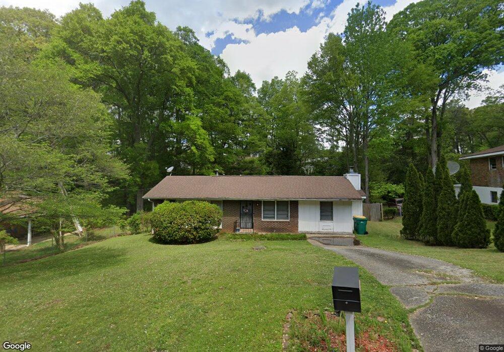
1024 Cone Rd Unit C Forest Park, GA 30297
Estimated Value: $182,649 - $242,000
3
Beds
2
Baths
1,315
Sq Ft
$155/Sq Ft
Est. Value
About This Home
This home is located at 1024 Cone Rd Unit C, Forest Park, GA 30297 and is currently estimated at $204,412, approximately $155 per square foot. 1024 Cone Rd Unit C is a home located in Clayton County with nearby schools including Haynie Elementary School, Babb Middle School, and Forest Park High School.
Ownership History
Date
Name
Owned For
Owner Type
Purchase Details
Closed on
May 9, 2017
Sold by
Brown Ricky
Bought by
Price Stacey Patrice
Current Estimated Value
Purchase Details
Closed on
Oct 25, 2004
Sold by
Brown Ricky
Bought by
Brown Ricky and Brown Stacey
Home Financials for this Owner
Home Financials are based on the most recent Mortgage that was taken out on this home.
Original Mortgage
$112,918
Interest Rate
5.6%
Mortgage Type
VA
Purchase Details
Closed on
Dec 12, 2001
Sold by
Price Stacey P
Bought by
Price Stacey P
Home Financials for this Owner
Home Financials are based on the most recent Mortgage that was taken out on this home.
Original Mortgage
$80,631
Interest Rate
6.49%
Mortgage Type
New Conventional
Purchase Details
Closed on
May 19, 1995
Sold by
Faircloth Lydia
Bought by
Price Stacey
Create a Home Valuation Report for This Property
The Home Valuation Report is an in-depth analysis detailing your home's value as well as a comparison with similar homes in the area
Home Values in the Area
Average Home Value in this Area
Purchase History
| Date | Buyer | Sale Price | Title Company |
|---|---|---|---|
| Price Stacey Patrice | -- | -- | |
| Brown Ricky | -- | -- | |
| Price Stacey P | -- | -- | |
| Price Stacey | $56,000 | -- |
Source: Public Records
Mortgage History
| Date | Status | Borrower | Loan Amount |
|---|---|---|---|
| Previous Owner | Brown Ricky | $112,918 | |
| Previous Owner | Price Stacey P | $80,631 |
Source: Public Records
Tax History Compared to Growth
Tax History
| Year | Tax Paid | Tax Assessment Tax Assessment Total Assessment is a certain percentage of the fair market value that is determined by local assessors to be the total taxable value of land and additions on the property. | Land | Improvement |
|---|---|---|---|---|
| 2025 | $1,637 | $57,920 | $6,400 | $51,520 |
| 2024 | $1,593 | $55,680 | $6,400 | $49,280 |
| 2023 | $1,579 | $49,400 | $6,400 | $43,000 |
| 2022 | $1,087 | $41,520 | $6,400 | $35,120 |
| 2021 | $785 | $32,600 | $6,400 | $26,200 |
| 2020 | $618 | $27,614 | $6,400 | $21,214 |
| 2019 | $476 | $23,378 | $3,200 | $20,178 |
| 2018 | $421 | $21,824 | $3,200 | $18,624 |
| 2017 | $211 | $15,921 | $3,200 | $12,721 |
| 2016 | $196 | $15,486 | $3,200 | $12,286 |
| 2015 | $200 | $0 | $0 | $0 |
| 2014 | $91 | $12,595 | $3,200 | $9,395 |
Source: Public Records
Map
Nearby Homes
- 965 Cone Rd
- 1063 Pine Mountain Dr
- 5690 Cypress Dr
- 865 Oakdale Dr
- 1112 Reynolds Ct Unit 4
- 960 Longleaf Dr
- 5489 Ahyoka Dr
- 1124 Ponderosa Park Dr
- 5570 Ash St
- 913 Longleaf Dr
- 743 Brookwood Dr
- 927 Slash Pine Rd
- 893 Slash Pine Rd
- 0 Ash St Unit 10563129
- 766 Longleaf Dr
- 6057 Pinecreek Rd
- 655 Shellnut Dr Unit 2
- 1343 Burbank Trail
- 6061 Winview Dr
- 5674 Sandhurst Dr