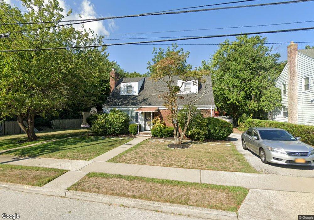
1024 Glen Rd West Hempstead, NY 11552
Estimated Value: $654,000 - $748,009
--
Bed
1
Bath
1,418
Sq Ft
$494/Sq Ft
Est. Value
About This Home
This home is located at 1024 Glen Rd, West Hempstead, NY 11552 and is currently estimated at $701,005, approximately $494 per square foot. 1024 Glen Rd is a home located in Nassau County with nearby schools including Davison Avenue Intermediate School, Maurice W. Downing Primary K-2 School, and Howard T Herber Middle School.
Ownership History
Date
Name
Owned For
Owner Type
Purchase Details
Closed on
Nov 17, 2009
Sold by
Chandler Alfred and Chandler Lorna
Bought by
Hillary Theresa N and Hillary Telesha T
Current Estimated Value
Home Financials for this Owner
Home Financials are based on the most recent Mortgage that was taken out on this home.
Original Mortgage
$264,000
Outstanding Balance
$172,470
Interest Rate
5.01%
Mortgage Type
Unknown
Estimated Equity
$528,535
Purchase Details
Closed on
Oct 25, 1996
Create a Home Valuation Report for This Property
The Home Valuation Report is an in-depth analysis detailing your home's value as well as a comparison with similar homes in the area
Home Values in the Area
Average Home Value in this Area
Purchase History
| Date | Buyer | Sale Price | Title Company |
|---|---|---|---|
| Hillary Theresa N | $330,000 | -- | |
| -- | $159,000 | -- |
Source: Public Records
Mortgage History
| Date | Status | Borrower | Loan Amount |
|---|---|---|---|
| Open | Hillary Theresa N | $264,000 |
Source: Public Records
Tax History Compared to Growth
Tax History
| Year | Tax Paid | Tax Assessment Tax Assessment Total Assessment is a certain percentage of the fair market value that is determined by local assessors to be the total taxable value of land and additions on the property. | Land | Improvement |
|---|---|---|---|---|
| 2025 | $13,209 | $475 | $228 | $247 |
| 2024 | $4,891 | $475 | $228 | $247 |
| 2023 | $12,879 | $475 | $228 | $247 |
| 2022 | $12,879 | $474 | $228 | $246 |
| 2021 | $17,728 | $448 | $215 | $233 |
| 2020 | $13,982 | $799 | $484 | $315 |
| 2019 | $14,485 | $799 | $484 | $315 |
| 2018 | $13,564 | $799 | $0 | $0 |
| 2017 | $7,475 | $799 | $484 | $315 |
| 2016 | $12,175 | $799 | $484 | $315 |
| 2015 | $4,398 | $799 | $484 | $315 |
| 2014 | $4,398 | $799 | $484 | $315 |
| 2013 | $4,141 | $799 | $484 | $315 |
Source: Public Records
Map
Nearby Homes
- 394 Pinebrook Ave
- 5 Juliette Rd
- 10 Pinebrook Ave
- 312 Coventry Rd S
- 49 Carol St
- 301 Coventry Rd N
- 1024 Mahopac Rd
- 1070 Mahopac Rd
- 461 Pinebrook Ave
- 486 Champlain Ave
- 7 Hopatcong Ave
- 1095 Pinebrook Ct
- 55 Melvin Ave
- 1090 Pinebrook Ct
- 841 Woodfield Rd
- 402 Clinton Ave
- 1025 Ontario Rd
- 362 Langdon Blvd
- 450 Rhodes Ln
- 0 Rhodes Ln