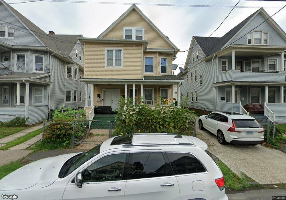
1024 Howard Ave Unit 1026 Bridgeport, CT 06605
West End-West Side NeighborhoodEstimated Value: $197,425 - $542,000
6
Beds
3
Baths
3,055
Sq Ft
$144/Sq Ft
Est. Value
About This Home
This home is located at 1024 Howard Ave Unit 1026, Bridgeport, CT 06605 and is currently estimated at $440,856, approximately $144 per square foot. 1024 Howard Ave Unit 1026 is a home located in Fairfield County with nearby schools including Bryant Elementary School, Bassick High School, and Park City Prep Charter School.
Ownership History
Date
Name
Owned For
Owner Type
Purchase Details
Closed on
Nov 12, 1998
Sold by
Hinn Bora
Bought by
Meach San
Current Estimated Value
Home Financials for this Owner
Home Financials are based on the most recent Mortgage that was taken out on this home.
Original Mortgage
$32,500
Outstanding Balance
$9,410
Interest Rate
10.24%
Estimated Equity
$431,446
Purchase Details
Closed on
Apr 2, 1993
Sold by
Peoples Bk
Bought by
Henn Bora
Home Financials for this Owner
Home Financials are based on the most recent Mortgage that was taken out on this home.
Original Mortgage
$44,000
Interest Rate
4.63%
Mortgage Type
Unknown
Create a Home Valuation Report for This Property
The Home Valuation Report is an in-depth analysis detailing your home's value as well as a comparison with similar homes in the area
Home Values in the Area
Average Home Value in this Area
Purchase History
| Date | Buyer | Sale Price | Title Company |
|---|---|---|---|
| Meach San | $65,000 | -- | |
| Meach San | $65,000 | -- | |
| Henn Bora | $55,000 | -- | |
| Henn Bora | $55,000 | -- |
Source: Public Records
Mortgage History
| Date | Status | Borrower | Loan Amount |
|---|---|---|---|
| Closed | Henn Bora | $13,000 | |
| Open | Henn Bora | $32,500 | |
| Closed | Henn Bora | $32,500 | |
| Previous Owner | Henn Bora | $44,000 |
Source: Public Records
Tax History Compared to Growth
Tax History
| Year | Tax Paid | Tax Assessment Tax Assessment Total Assessment is a certain percentage of the fair market value that is determined by local assessors to be the total taxable value of land and additions on the property. | Land | Improvement |
|---|---|---|---|---|
| 2025 | $7,463 | $171,760 | $44,960 | $126,800 |
| 2024 | $7,463 | $171,760 | $44,960 | $126,800 |
| 2023 | $7,463 | $171,760 | $44,960 | $126,800 |
| 2022 | $7,463 | $171,760 | $44,960 | $126,800 |
| 2021 | $7,463 | $171,760 | $44,960 | $126,800 |
| 2020 | $6,150 | $113,910 | $15,670 | $98,240 |
| 2019 | $6,150 | $113,910 | $15,670 | $98,240 |
| 2018 | $6,193 | $113,910 | $15,670 | $98,240 |
| 2017 | $6,193 | $113,910 | $15,670 | $98,240 |
| 2016 | $6,193 | $113,910 | $15,670 | $98,240 |
| 2015 | $6,094 | $144,400 | $23,910 | $120,490 |
| 2014 | $6,094 | $144,400 | $23,910 | $120,490 |
Source: Public Records
Map
Nearby Homes
- 212 Denver Ave
- 115 Denver Ave Unit 117
- 99 Denver Ave Unit 101
- 255 Poplar St
- 468 Colorado Ave
- 725 Beechwood Ave Unit 727
- 533 Clinton Ave
- 1059 Hancock Ave Unit 1061
- 670 Clinton Ave
- 899 Hancock Ave
- 246 Lenox Ave
- 195 Lenox Ave Unit 197
- 203 Lenox Ave Unit 205
- 368 Lenox Ave
- 74 Carleton Ave
- 500 Dewey St
- 47 Lenox Ave
- 412 Dewey St
- 697 Laurel Ave
- 700 Laurel Ave
- 1032 Howard Ave Unit 1034
- 1032 Howard Ave Unit 3
- 1034 Howard Ave
- 1016 Howard Ave Unit 1018
- 1042 Howard Ave Unit 1044
- 199 Denver Ave
- 207 Denver Ave
- 1045 Howard Ave Unit 2
- 189 Denver Ave
- 1002 Howard Ave
- 1000 Howard Ave Unit 1002
- 1000 Howard Ave Unit 1
- 1050 Howard Ave Unit 1052
- 1050 Howard Ave Unit 2ND F
- 1025 Howard Ave Unit 1027
- 183 Denver Ave
- 1021 Howard Ave Unit 1023
- 1017 Howard Ave Unit 1019
- 1006 Howard Ave Unit 1008
- 1003 Howard Ave Unit 1005