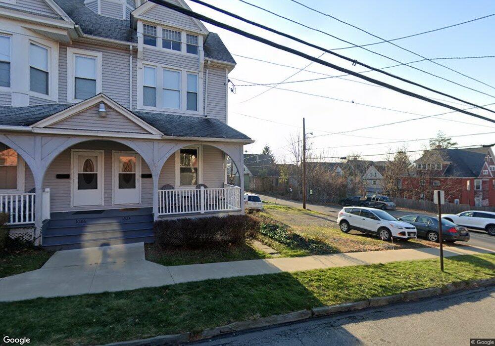
1024 Pine St Unit 1026 Scranton, PA 18510
Hill Section NeighborhoodEstimated Value: $201,000 - $288,000
Studio
--
Bath
3,222
Sq Ft
$72/Sq Ft
Est. Value
About This Home
This home is located at 1024 Pine St Unit 1026, Scranton, PA 18510 and is currently estimated at $232,333, approximately $72 per square foot. 1024 Pine St Unit 1026 is a home located in Lackawanna County with nearby schools including William Prescott School, Northeast Scranton Intermediate School, and Scranton High School.
Ownership History
Date
Name
Owned For
Owner Type
Purchase Details
Closed on
Feb 25, 2011
Sold by
Munchak Margaret L
Bought by
Wilk Michael A and Wilk Michele A
Current Estimated Value
Home Financials for this Owner
Home Financials are based on the most recent Mortgage that was taken out on this home.
Original Mortgage
$67,500
Interest Rate
4.83%
Mortgage Type
Commercial
Create a Home Valuation Report for This Property
The Home Valuation Report is an in-depth analysis detailing your home's value as well as a comparison with similar homes in the area
Home Values in the Area
Average Home Value in this Area
Purchase History
| Date | Buyer | Sale Price | Title Company |
|---|---|---|---|
| Wilk Michael A | $90,000 | None Available |
Source: Public Records
Mortgage History
| Date | Status | Borrower | Loan Amount |
|---|---|---|---|
| Closed | Wilk Michael A | $67,500 |
Source: Public Records
Tax History
| Year | Tax Paid | Tax Assessment Tax Assessment Total Assessment is a certain percentage of the fair market value that is determined by local assessors to be the total taxable value of land and additions on the property. | Land | Improvement |
|---|---|---|---|---|
| 2026 | $30,894 | $193,100 | $27,430 | $165,670 |
| 2025 | $2,989 | $7,751 | $3,751 | $4,000 |
| 2024 | $2,764 | $7,751 | $3,751 | $4,000 |
| 2023 | $2,764 | $7,751 | $3,751 | $4,000 |
| 2022 | $2,704 | $7,751 | $3,751 | $4,000 |
| 2021 | $2,704 | $7,751 | $3,751 | $4,000 |
| 2020 | $2,663 | $7,751 | $3,751 | $4,000 |
| 2019 | $2,515 | $7,751 | $3,751 | $4,000 |
| 2018 | $2,515 | $7,751 | $3,751 | $4,000 |
| 2017 | $2,479 | $7,751 | $3,751 | $4,000 |
| 2016 | $0 | $7,751 | $3,751 | $4,000 |
| 2015 | $1,950 | $7,751 | $3,751 | $4,000 |
| 2014 | -- | $7,751 | $3,751 | $4,000 |
Source: Public Records
Map
Nearby Homes
- 550 Clay Ave Unit 8C
- 718 Taylor Ave
- 529 Taylor Ave
- 825 827 Quincy Ave Unit 825-827
- 802 Madison Ave
- 829 Monroe Ave
- 640 Jefferson Ave
- 622 Jefferson Ave
- 817 Madison Ave
- 917 Taylor Ave
- 723-725 Prescott Ave
- 7 Oakwood Place
- 1014 1016 Quincy Ave
- 1017 Quincy Ave
- 1513 1515 Vine St
- 1018 N Webster Ave
- 1028 N Webster Ave
- 616-618 Harrison Ave
- 1406 Ash St
- 516 Harrison Ave
- 1024 1026 Pine St
- 1026 Pine St Unit 1024-1026 Pine St
- 645 Clay Ave Unit 647
- 637 Clay Ave
- 633 Clay Ave
- 700 Clay Ave
- 629 Clay Ave Unit 1st floor
- 629 Clay Ave Unit 2C
- 629 Clay Ave Unit 2nd Fl. B
- 629 Clay Ave Unit 2a
- 1002 Pine St
- 640 Quincy Ave
- 648 Clay Ave
- 631 Costello Ct Unit 633
- 642 644 Quincy Ave
- 642 Quincy Ave Unit 644
- 638 Quincy Ave
- 1106 Pine St
- 702 Clay Ave
- 621 Clay Ave
Your Personal Tour Guide
Ask me questions while you tour the home.