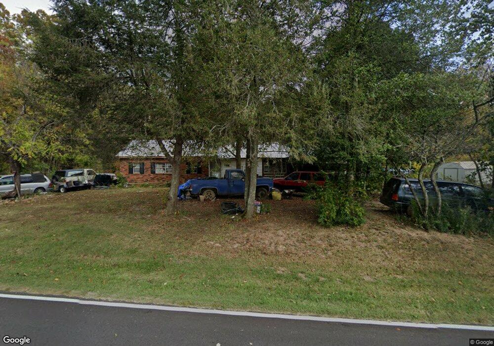
1024 Satterfield Rd Maynardville, TN 37807
Paulette NeighborhoodEstimated Value: $211,000 - $300,000
Studio
1
Bath
1,800
Sq Ft
$149/Sq Ft
Est. Value
About This Home
This home is located at 1024 Satterfield Rd, Maynardville, TN 37807 and is currently estimated at $267,667, approximately $148 per square foot. 1024 Satterfield Rd is a home located in Union County with nearby schools including Paulette Elementary School, Union County High School, and H Maynard Middle School.
Ownership History
Date
Name
Owned For
Owner Type
Purchase Details
Closed on
Aug 26, 2008
Sold by
Osborne Shirley J
Bought by
Kenneth Osborne
Current Estimated Value
Purchase Details
Closed on
May 20, 2008
Sold by
Kenneth Osborne
Bought by
Wilson Paul W
Purchase Details
Closed on
Aug 26, 1996
Sold by
Kenneth Osborne
Bought by
Wilson Mary M
Purchase Details
Closed on
Apr 3, 1992
Bought by
Osborne Kenneth and Osborne Shirley J
Purchase Details
Closed on
Apr 11, 1959
Bought by
Osborne Kenneth and Mary Lee
Create a Home Valuation Report for This Property
The Home Valuation Report is an in-depth analysis detailing your home's value as well as a comparison with similar homes in the area
Home Values in the Area
Average Home Value in this Area
Purchase History
| Date | Buyer | Sale Price | Title Company |
|---|---|---|---|
| Kenneth Osborne | -- | -- | |
| Kenneth Osborne | -- | -- | |
| Wilson Paul W | $15,000 | -- | |
| Wilson Paul W | $15,000 | -- | |
| Wilson Mary M | $10,000 | -- | |
| Wilson Mary M | $10,000 | -- | |
| Osborne Kenneth | -- | -- | |
| Osborne Kenneth | -- | -- | |
| Osborne Kenneth | -- | -- | |
| Osborne Kenneth | -- | -- |
Source: Public Records
Tax History
| Year | Tax Paid | Tax Assessment Tax Assessment Total Assessment is a certain percentage of the fair market value that is determined by local assessors to be the total taxable value of land and additions on the property. | Land | Improvement |
|---|---|---|---|---|
| 2025 | $518 | $27,275 | $15,050 | $12,225 |
| 2024 | $518 | $27,275 | $15,050 | $12,225 |
| 2023 | $518 | $27,275 | $15,050 | $12,225 |
| 2022 | $434 | $27,275 | $15,050 | $12,225 |
| 2021 | $392 | $18,300 | $10,250 | $8,050 |
| 2020 | $392 | $18,300 | $10,250 | $8,050 |
| 2019 | $446 | $18,300 | $10,250 | $8,050 |
| 2018 | $446 | $20,825 | $10,250 | $10,575 |
| 2017 | $446 | $20,825 | $10,250 | $10,575 |
| 2016 | $531 | $24,450 | $16,050 | $8,400 |
| 2015 | $531 | $24,450 | $16,050 | $8,400 |
| 2014 | $438 | $24,462 | $0 | $0 |
Source: Public Records
Map
Nearby Homes
- 213 Brock Rd
- 215 Jamie St
- 298 Brock Rd
- 169 Old Maynardville Hwy W
- L-7 Williams Dr
- 9024 Welch Rd
- 00 Old Tazewell Pike
- 120 Hansard Rd
- 7809 Wood Rd Unit 98
- 7418 Youmans Ln
- 668 Raccoon Valley Rd
- 7311 Harvey Henry Rd
- 8.30 acres Wolfenbarger Ln
- 7908 Tree Line Ln
- 7920 Tree Line Ln
- 7904 Tree Line Ln
- 7815 Tree Line Ln
- 7823 Tree Line Ln
- 7924 Tree Line Ln
- 7807 Tree Line Ln
- 1027 Satterfield Rd
- 1040 Satterfield Rd
- 1014 Satterfield Rd
- 1046 Satterfield Rd
- 1047 Satterfield Rd
- 962 Satterfield Rd
- 1058 Satterfield Rd
- 1073 Satterfield Rd
- 961 Satterfield Rd
- 955 Satterfield Rd
- 1066 Satterfield Rd
- 9450 Graves Rd
- 949 Satterfield Rd
- 1070 Satterfield Rd
- 9438 Graves Rd
- 942 Satterfield Rd
- 1078 Satterfield Rd
- 135 Buck Ln
- 911 Satterfield Rd
- 934 Satterfield Rd
Your Personal Tour Guide
Ask me questions while you tour the home.