10242 County Road 1950 West Unity, OH 43570
Estimated Value: $205,000 - $248,376
5
Beds
2
Baths
1,971
Sq Ft
$119/Sq Ft
Est. Value
About This Home
This home is located at 10242 County Road 1950, West Unity, OH 43570 and is currently estimated at $234,594, approximately $119 per square foot. 10242 County Road 1950 is a home located in Williams County with nearby schools including Hilltop Elementary School and Hilltop High School.
Ownership History
Date
Name
Owned For
Owner Type
Purchase Details
Closed on
Sep 10, 1996
Bought by
Created **Parcel and Livensparger Gwyn K
Current Estimated Value
Create a Home Valuation Report for This Property
The Home Valuation Report is an in-depth analysis detailing your home's value as well as a comparison with similar homes in the area
Home Values in the Area
Average Home Value in this Area
Purchase History
| Date | Buyer | Sale Price | Title Company |
|---|---|---|---|
| Created **Parcel | $98,500 | -- |
Source: Public Records
Tax History Compared to Growth
Tax History
| Year | Tax Paid | Tax Assessment Tax Assessment Total Assessment is a certain percentage of the fair market value that is determined by local assessors to be the total taxable value of land and additions on the property. | Land | Improvement |
|---|---|---|---|---|
| 2024 | $2,768 | $74,840 | $17,750 | $57,090 |
| 2023 | $2,768 | $58,770 | $15,540 | $43,230 |
| 2022 | $2,592 | $58,770 | $15,540 | $43,230 |
| 2021 | $2,592 | $58,770 | $15,540 | $43,230 |
| 2020 | $2,231 | $49,150 | $13,130 | $36,020 |
| 2019 | $2,194 | $49,150 | $13,130 | $36,020 |
| 2018 | $1,940 | $49,150 | $13,130 | $36,020 |
| 2017 | $2,034 | $45,510 | $11,100 | $34,410 |
| 2016 | $1,660 | $38,860 | $11,100 | $27,760 |
| 2015 | $1,660 | $38,860 | $11,100 | $27,760 |
| 2014 | $1,653 | $35,320 | $10,080 | $25,240 |
| 2013 | $1,636 | $35,320 | $10,080 | $25,240 |
Source: Public Records
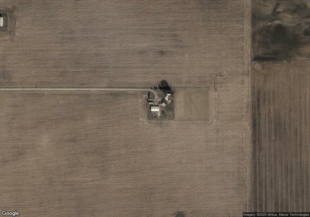
Map
Nearby Homes
- 340 S Main St
- 205 Taylor Dr
- 000 W Jackson
- 311 W Rings St
- 22227 Us Highway 20a
- 18 Cobblestone Rd
- 16806 US Highway 20a
- 305 W Mulberry St
- 301 Horton St
- 15664 County Road K
- 22018 County Road F
- 3063 County Road 26-2
- 5065 County Road 20-50
- 0 County Road 18
- 0 County Road F
- 17738 County Rd E
- 16228 County Road N-30
- 4532 County Road 19
- 18097 State Route 34
- 222 Lakeview Dr
- 10364 County Road 1950
- 0 C R J Unit 4637342
- 0 C R J Unit 4641448
- 000 C R J (41 66 Acres)
- 000 C R J (60 Acres)
- 0 C R J Unit 4600127
- 10377 State Route 191
- 10462 State Route 191
- 9598 County Road 19-50
- 19761 County Road I50
- 000 County Road I50
- 20077 County Road I50
- 9531 State Route 191
- 19915 County Road K
- 9448 County Road 1950
- 20186 County Road I50
- 19652 County Road K
- 10988 County Road 1950
- 20095 County Road K
- 20216 County Road I50