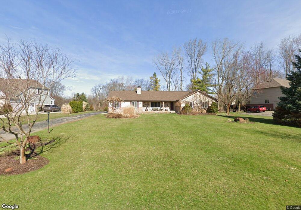
10244 Longford Dr South Lyon, MI 48178
Estimated Value: $409,068 - $524,000
3
Beds
3
Baths
1,678
Sq Ft
$274/Sq Ft
Est. Value
About This Home
This home is located at 10244 Longford Dr, South Lyon, MI 48178 and is currently estimated at $460,017, approximately $274 per square foot. 10244 Longford Dr is a home located in Livingston County with nearby schools including William A. Brummer Elementary School, Centennial Middle School, and South Lyon High School.
Ownership History
Date
Name
Owned For
Owner Type
Purchase Details
Closed on
Apr 20, 2000
Sold by
Mcroberts Donald D and Mcroberts Karen R
Bought by
Mcdermott John
Current Estimated Value
Home Financials for this Owner
Home Financials are based on the most recent Mortgage that was taken out on this home.
Original Mortgage
$235,600
Outstanding Balance
$97,257
Interest Rate
11.12%
Estimated Equity
$362,760
Create a Home Valuation Report for This Property
The Home Valuation Report is an in-depth analysis detailing your home's value as well as a comparison with similar homes in the area
Home Values in the Area
Average Home Value in this Area
Purchase History
| Date | Buyer | Sale Price | Title Company |
|---|---|---|---|
| Mcdermott John | $248,000 | -- |
Source: Public Records
Mortgage History
| Date | Status | Borrower | Loan Amount |
|---|---|---|---|
| Open | Mcdermott John | $235,600 |
Source: Public Records
Tax History Compared to Growth
Tax History
| Year | Tax Paid | Tax Assessment Tax Assessment Total Assessment is a certain percentage of the fair market value that is determined by local assessors to be the total taxable value of land and additions on the property. | Land | Improvement |
|---|---|---|---|---|
| 2025 | $3,909 | $167,100 | $0 | $0 |
| 2024 | $2,633 | $149,500 | $0 | $0 |
| 2023 | $2,512 | $151,800 | $0 | $0 |
| 2022 | $3,192 | $118,300 | $0 | $0 |
| 2021 | $3,192 | $120,000 | $0 | $0 |
| 2020 | $3,176 | $121,100 | $0 | $0 |
| 2019 | $3,207 | $118,300 | $0 | $0 |
| 2018 | $3,191 | $118,000 | $0 | $0 |
| 2017 | $3,214 | $115,900 | $0 | $0 |
| 2016 | $3,267 | $115,300 | $0 | $0 |
| 2014 | $3,162 | $109,000 | $0 | $0 |
| 2012 | $3,162 | $95,100 | $0 | $0 |
Source: Public Records
Map
Nearby Homes
- 13802 Forest Ridge Cir
- 667 Allegheny Dr
- 702 Westhills Dr
- Addison Plan at Charleston Park
- Bradford with Second Floor Plan at Charleston Park
- Bartelle Plan at Charleston Park
- Upton Plan at Charleston Park
- Bradford Plan at Charleston Park
- Westford Plan at Charleston Park
- Madison Plan at Charleston Park
- Nantucket Plan at Charleston Park
- Preston Plan at Charleston Park
- Remington Plan at Charleston Park
- Rockport II Plan at Charleston Park
- 577 W Lake St
- 13428 Sequoia Ln
- 891 Westhills Dr
- 22649 N Dixboro Rd
- 174 Singh Blvd
- 429 Cambridge Ave
- 10226 Longford Dr
- 10282 Longford Dr
- 10320 Longford Dr
- 10208 Longford Dr
- 10249 Longford Dr
- 10235 Longford Dr
- 10291 Longford Dr
- 10221 Longford Dr
- 10338 Longford Dr
- 10190 Longford Dr
- 10323 Longford Dr
- 10205 Longford Dr
- 13898 Edenderry Dr
- 10345 Longford Dr
- 13924 Edenderry Dr Unit Bldg-Unit
- 13924 Edenderry Dr
- 13872 Edenderry Dr
- 10365 Royce Dr
- 10172 Longford Dr
- 10183 Longford Dr