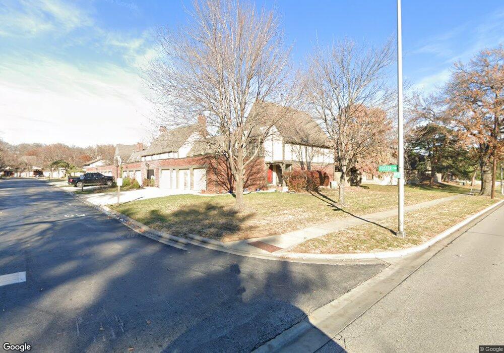
10247 Foster St Overland Park, KS 66212
Central Overland Park NeighborhoodEstimated Value: $238,152 - $258,000
3
Beds
3
Baths
1,460
Sq Ft
$170/Sq Ft
Est. Value
About This Home
This home is located at 10247 Foster St, Overland Park, KS 66212 and is currently estimated at $248,288, approximately $170 per square foot. 10247 Foster St is a home located in Johnson County with nearby schools including Brookridge Elementary School, Shawnee Mission South High School, and Indian Woods Middle School.
Ownership History
Date
Name
Owned For
Owner Type
Purchase Details
Closed on
Nov 3, 2020
Sold by
Mcclanahan Carol
Bought by
Mcclanahan Carol and Wroldsen Kimberly J
Current Estimated Value
Purchase Details
Closed on
Nov 9, 2006
Sold by
Tate Susan W
Bought by
Mcclanahan Carol
Home Financials for this Owner
Home Financials are based on the most recent Mortgage that was taken out on this home.
Original Mortgage
$110,320
Interest Rate
6.37%
Mortgage Type
New Conventional
Create a Home Valuation Report for This Property
The Home Valuation Report is an in-depth analysis detailing your home's value as well as a comparison with similar homes in the area
Home Values in the Area
Average Home Value in this Area
Purchase History
| Date | Buyer | Sale Price | Title Company |
|---|---|---|---|
| Mcclanahan Carol | -- | None Listed On Document | |
| Mcclanahan Carol | -- | Chicago Title Ins Co |
Source: Public Records
Mortgage History
| Date | Status | Borrower | Loan Amount |
|---|---|---|---|
| Previous Owner | Mcclanahan Carol | $110,320 |
Source: Public Records
Tax History Compared to Growth
Tax History
| Year | Tax Paid | Tax Assessment Tax Assessment Total Assessment is a certain percentage of the fair market value that is determined by local assessors to be the total taxable value of land and additions on the property. | Land | Improvement |
|---|---|---|---|---|
| 2024 | $2,192 | $23,322 | $3,632 | $19,690 |
| 2023 | $2,228 | $23,012 | $3,632 | $19,380 |
| 2022 | $2,006 | $20,896 | $3,158 | $17,738 |
| 2021 | $2,015 | $19,769 | $3,158 | $16,611 |
| 2020 | $1,951 | $19,171 | $2,634 | $16,537 |
| 2019 | $1,744 | $17,169 | $2,393 | $14,776 |
| 2018 | $1,707 | $16,732 | $2,393 | $14,339 |
| 2017 | $1,669 | $16,111 | $2,393 | $13,718 |
| 2016 | $1,706 | $16,192 | $2,393 | $13,799 |
| 2015 | $1,652 | $16,019 | $2,393 | $13,626 |
| 2013 | -- | $13,892 | $2,393 | $11,499 |
Source: Public Records
Map
Nearby Homes
- 7414 W 102nd Ct
- 7402 W 102nd Ct
- 7433 W 102nd Ct
- 7216 W 100th Place
- 9916 Floyd St
- 10201 Oakridge Dr
- 7617 W 98th Terrace
- 8201 W 100th Terrace
- 6912 W 98th Terrace
- 7916 W 98th Terrace
- 9766 Craig Dr
- 8108 W 98th Terrace
- 10246 Russell St
- 9849 Glenwood St
- 8100 W 98th St
- 9712 Craig Dr
- 9849 Riggs St
- 8726 W 104th St
- 6109 W 102nd Ct
- 6735 W 108th Terrace
- 10245 Foster St
- 10243 Foster St
- 7424 W 102nd Ct
- 7423 W 102nd Ct
- 10239 Foster St
- 7428 W 102nd Ct
- 7427 W 102nd Ct
- 7425 W 102nd Ct
- 7426 W 102nd Ct
- 10237 Foster St
- 10246 Foster St
- 10244 Foster St
- 7432 W 102nd Ct
- 10242 Foster St
- 7429 W 102nd Ct
- 10235 Foster St
- 10240 Foster St
- 7430 W 102nd Ct
- 7437 W 102nd Ct
- 7439 W 102nd Ct