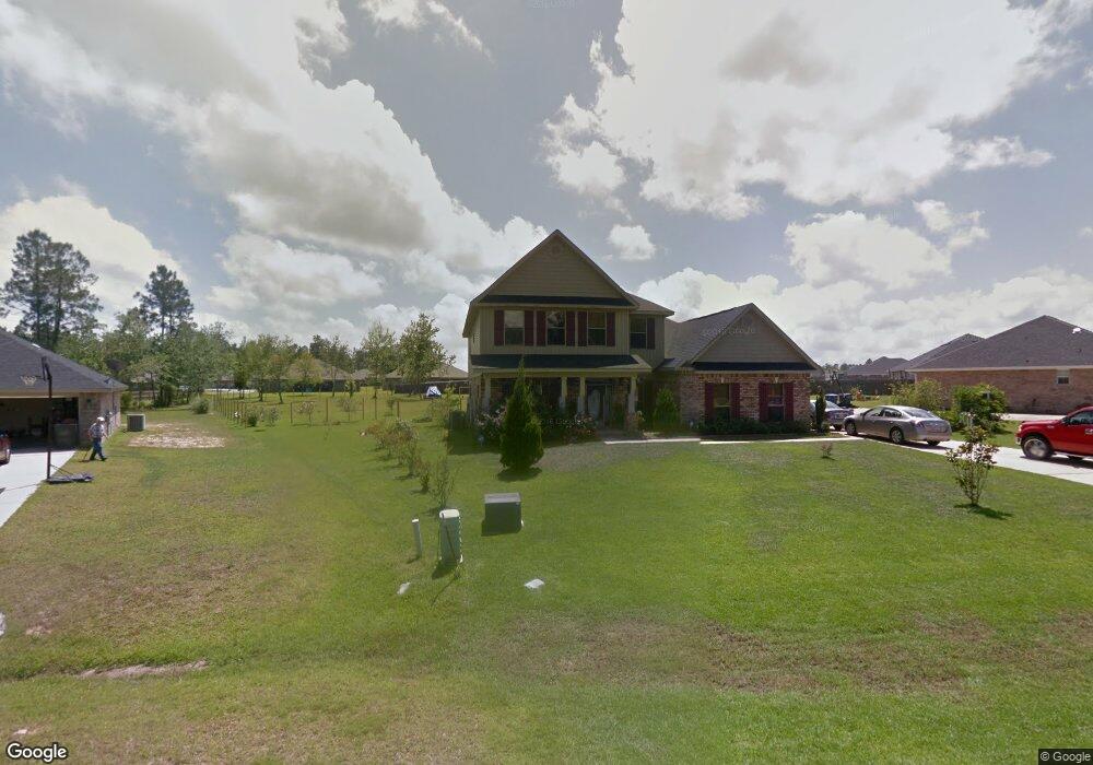
10248 Lake Forest Dr Vancleave, MS 39565
Estimated Value: $360,000 - $392,000
--
Bed
--
Bath
3,049
Sq Ft
$122/Sq Ft
Est. Value
About This Home
This home is located at 10248 Lake Forest Dr, Vancleave, MS 39565 and is currently estimated at $373,158, approximately $122 per square foot. 10248 Lake Forest Dr is a home with nearby schools including St Martin East Elementary School, St Martin North Elementary School, and St Martin Upper Elementary School.
Ownership History
Date
Name
Owned For
Owner Type
Purchase Details
Closed on
Jan 27, 2010
Sold by
Adams Homes Llc
Bought by
Craig Robert E and Craig Joycelyn F
Current Estimated Value
Home Financials for this Owner
Home Financials are based on the most recent Mortgage that was taken out on this home.
Original Mortgage
$250,777
Outstanding Balance
$167,048
Interest Rate
5.16%
Mortgage Type
Purchase Money Mortgage
Estimated Equity
$206,110
Create a Home Valuation Report for This Property
The Home Valuation Report is an in-depth analysis detailing your home's value as well as a comparison with similar homes in the area
Home Values in the Area
Average Home Value in this Area
Purchase History
| Date | Buyer | Sale Price | Title Company |
|---|---|---|---|
| Craig Robert E | -- | Davis Title Company Llc |
Source: Public Records
Mortgage History
| Date | Status | Borrower | Loan Amount |
|---|---|---|---|
| Open | Craig Robert E | $250,777 |
Source: Public Records
Tax History Compared to Growth
Tax History
| Year | Tax Paid | Tax Assessment Tax Assessment Total Assessment is a certain percentage of the fair market value that is determined by local assessors to be the total taxable value of land and additions on the property. | Land | Improvement |
|---|---|---|---|---|
| 2024 | -- | $23,857 | $3,506 | $20,351 |
| 2023 | $0 | $23,857 | $3,506 | $20,351 |
| 2022 | $0 | $23,186 | $0 | $0 |
| 2021 | $1,874 | $23,186 | $23,186 | $0 |
| 2020 | $1,874 | $23,186 | $3,614 | $19,572 |
| 2019 | $1,874 | $23,186 | $3,614 | $19,572 |
| 2018 | $1,911 | $23,186 | $3,614 | $19,572 |
| 2017 | $1,943 | $23,186 | $3,614 | $19,572 |
| 2016 | $1,866 | $23,186 | $3,614 | $19,572 |
| 2015 | $1,687 | $216,050 | $36,140 | $179,910 |
| 2014 | $1,725 | $22,182 | $3,614 | $18,568 |
| 2013 | $1,667 | $22,182 | $3,614 | $18,568 |
Source: Public Records
Map
Nearby Homes
- 0 Maple Cove
- 0 Muszar Ln
- 13221 Sunview Cove
- 13601 Virginia St
- 13809 Briarwood Dr
- 13505 Sarus Dr
- 13509 Sarus Dr
- The Camden Plan at Crane Landing
- The Jasmine Plan at Crane Landing
- The Destin Plan at Crane Landing
- The Hawthorne Plan at Crane Landing
- The Holly Plan at Crane Landing
- 13521 Sarus Dr
- 13517 Sarus Dr
- 13461 Crane Dr
- 13465 Crane Dr
- 13412 Crane Dr
- 13457 Crane Dr
- 13445 Crane Dr
- 13409 Crane Dr
- 10244 Lake Forest Dr
- 10232 Lake Forest Dr
- 12008 Yellowwood Dr
- 10245 Lake Forest Dr
- 10249 Lake Forest Dr
- 12004 Yellowwood Dr
- 12017 Sugar Maple Dr
- 10241 Lake Forest Dr
- 10237 Lake Forest Dr
- 10233 Lake Forest Dr
- 12013 Sugar Maple Dr
- 12021 Sugar Maple Dr
- 12021 Sugar Maple Dr
- 10224 Lake Forest Dr
- 10229 Lake Forest Dr
- 10253 Lake Forest Dr
- 12009 Yellowwood Dr
- 10254 Lake Forest Dr
- 12005 Yellowwood Dr
- 10225 Lake Forest Dr