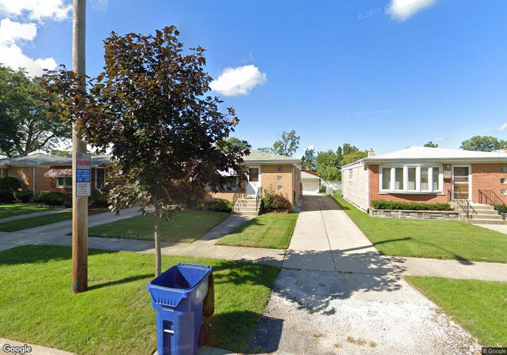
10248 Mcnerney Dr Franklin Park, IL 60131
Estimated Value: $344,738 - $396,000
3
Beds
2
Baths
1,091
Sq Ft
$338/Sq Ft
Est. Value
About This Home
This home is located at 10248 Mcnerney Dr, Franklin Park, IL 60131 and is currently estimated at $368,935, approximately $338 per square foot. 10248 Mcnerney Dr is a home located in Cook County with nearby schools including John F Kennedy Elementary School, Washington Elementary School, and Lincoln Middle School.
Ownership History
Date
Name
Owned For
Owner Type
Purchase Details
Closed on
Nov 28, 2011
Sold by
Ciesielski Valentine J and Ciesielski Therese C
Bought by
Loren Linda M
Current Estimated Value
Home Financials for this Owner
Home Financials are based on the most recent Mortgage that was taken out on this home.
Original Mortgage
$139,127
Outstanding Balance
$95,563
Interest Rate
4.4%
Mortgage Type
FHA
Estimated Equity
$273,372
Create a Home Valuation Report for This Property
The Home Valuation Report is an in-depth analysis detailing your home's value as well as a comparison with similar homes in the area
Home Values in the Area
Average Home Value in this Area
Purchase History
| Date | Buyer | Sale Price | Title Company |
|---|---|---|---|
| Loren Linda M | $145,000 | Multiple |
Source: Public Records
Mortgage History
| Date | Status | Borrower | Loan Amount |
|---|---|---|---|
| Open | Loren Linda M | $139,127 |
Source: Public Records
Tax History
| Year | Tax Paid | Tax Assessment Tax Assessment Total Assessment is a certain percentage of the fair market value that is determined by local assessors to be the total taxable value of land and additions on the property. | Land | Improvement |
|---|---|---|---|---|
| 2025 | $7,547 | $30,000 | $5,984 | $24,016 |
| 2024 | $7,547 | $27,000 | $4,896 | $22,104 |
| 2023 | $7,480 | $27,000 | $4,896 | $22,104 |
| 2022 | $7,480 | $27,000 | $4,896 | $22,104 |
| 2021 | $5,582 | $17,949 | $3,536 | $14,413 |
| 2020 | $5,510 | $17,949 | $3,536 | $14,413 |
| 2019 | $5,473 | $20,282 | $3,536 | $16,746 |
| 2018 | $6,458 | $20,890 | $2,992 | $17,898 |
| 2017 | $6,476 | $20,890 | $2,992 | $17,898 |
| 2016 | $6,364 | $20,890 | $2,992 | $17,898 |
| 2015 | $5,974 | $18,938 | $2,720 | $16,218 |
| 2014 | $5,947 | $18,938 | $2,720 | $16,218 |
| 2013 | $5,723 | $18,938 | $2,720 | $16,218 |
Source: Public Records
Map
Nearby Homes
- 10224 Mcnerney Dr
- 3529 George St
- 10123 Hartford Ct Unit GC
- 10121 Hartford Ct Unit 3C
- 3640 Hawthorne St
- 3719 Hawthorne St
- 3880 Scott St
- 3516 Elder Ln
- 3631 Elder Ln
- 4034 Denley Ave
- 3541 Emerson St
- 3706 Ruby St
- 3820 Ruby St Unit 3N
- 3822 Ruby St Unit 2E
- 4115 Denley Ave
- 9824 Garden Ct
- 9741 Lonnquist Dr
- 3427 Lonnquist Dr
- 3108 Lincoln St
- 3013 Lincoln St
- 10244 Mcnerney Dr
- 10252 Mcnerney Dr
- 10240 Mcnerney Dr
- 10256 Mcnerney Dr
- 10236 Mcnerney Dr
- 10249 Panoramic Dr
- 10245 Panoramic Dr
- 10253 Panoramic Dr
- 10241 Panoramic Dr
- 10257 Panoramic Dr
- 10232 Mcnerney Dr
- 10237 Panoramic Dr
- 10300 Mcnerney Dr
- 10228 Mcnerney Dr
- 10241 Mcnerney Dr
- 10237 Mcnerney Dr
- 10233 Panoramic Dr
- 10249 Mcnerney Dr
- 10233 Mcnerney Dr
- 10304 Mcnerney Dr
Your Personal Tour Guide
Ask me questions while you tour the home.