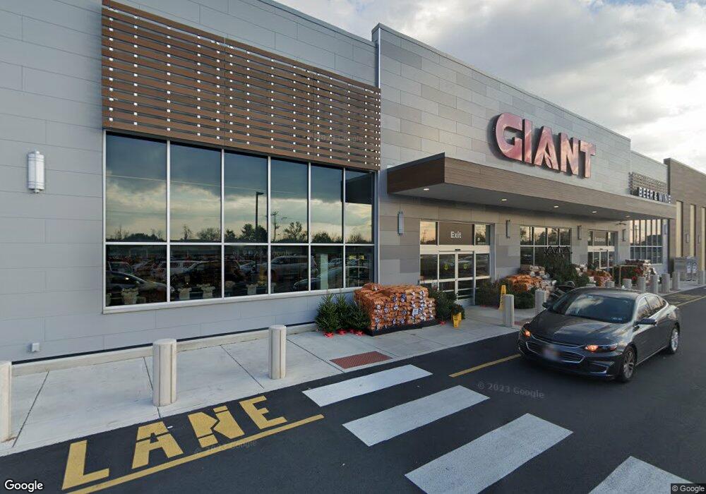
1025 2nd Street Pike Unit 1055 Richboro, PA 18954
Estimated Value: $17,259,879
--
Bed
--
Bath
94,271
Sq Ft
$183/Sq Ft
Est. Value
About This Home
This home is located at 1025 2nd Street Pike Unit 1055, Richboro, PA 18954 and is currently priced at $17,259,879, approximately $183 per square foot. 1025 2nd Street Pike Unit 1055 is a home located in Bucks County with nearby schools including Richboro Elementary School, Richboro Middle School, and Council Rock High School - South.
Ownership History
Date
Name
Owned For
Owner Type
Purchase Details
Closed on
Jun 19, 2002
Sold by
Davisville Properties Corp
Bought by
Amc Delancey Richboro Partners Lp
Current Estimated Value
Home Financials for this Owner
Home Financials are based on the most recent Mortgage that was taken out on this home.
Original Mortgage
$6,200,000
Outstanding Balance
$2,641,868
Interest Rate
6.92%
Mortgage Type
Commercial
Purchase Details
Closed on
Mar 24, 1995
Sold by
Davisville Properties Realty Trust
Bought by
Davisville Properties Corp
Create a Home Valuation Report for This Property
The Home Valuation Report is an in-depth analysis detailing your home's value as well as a comparison with similar homes in the area
Home Values in the Area
Average Home Value in this Area
Purchase History
| Date | Buyer | Sale Price | Title Company |
|---|---|---|---|
| Amc Delancey Richboro Partners Lp | $7,650,000 | Commonwealth Land Title Ins | |
| Davisville Properties Corp | $4,700,000 | Chicago Title Insurance Co |
Source: Public Records
Mortgage History
| Date | Status | Borrower | Loan Amount |
|---|---|---|---|
| Open | Amc Delancey Richboro Partners Lp | $6,200,000 |
Source: Public Records
Tax History Compared to Growth
Tax History
| Year | Tax Paid | Tax Assessment Tax Assessment Total Assessment is a certain percentage of the fair market value that is determined by local assessors to be the total taxable value of land and additions on the property. | Land | Improvement |
|---|---|---|---|---|
| 2025 | $236,569 | $1,228,250 | $216,240 | $1,012,010 |
| 2024 | $236,569 | $1,228,250 | $216,240 | $1,012,010 |
| 2023 | $222,962 | $1,228,250 | $216,240 | $1,012,010 |
| 2022 | $133,610 | $742,820 | $216,240 | $526,580 |
| 2021 | $168,666 | $968,360 | $216,240 | $752,120 |
| 2020 | $164,875 | $968,360 | $216,240 | $752,120 |
| 2019 | $157,812 | $968,360 | $216,240 | $752,120 |
| 2018 | $155,006 | $968,360 | $216,240 | $752,120 |
| 2017 | $149,028 | $968,360 | $216,240 | $752,120 |
| 2016 | $149,028 | $968,360 | $216,240 | $752,120 |
| 2015 | -- | $968,360 | $216,240 | $752,120 |
| 2014 | -- | $968,360 | $216,240 | $752,120 |
Source: Public Records
Map
Nearby Homes
- 3 Titus Ct Unit 102
- 50 Mohawk Dr
- 39 Meadow Ln
- 158 Meadow Ln
- 54 Legacy Oaks Dr Unit 94
- 61 Legacy Oaks Dr Unit 62
- 64 Legacy Oaks Dr Unit 81
- 52 Paisley Rd
- 380 Newtown Richboro Rd
- 120 Gleniffer Hill Rd
- 34 Acorn Dr
- 379 Glen Meadow Rd
- 55 W Windrose Dr
- 55 Mount Pleasant Dr
- 58 Highspire Rd
- 56 Joshua Dr
- 38 Bryan Dr
- 28 Dartmouth Ln
- 4 Providence Dr
- 47 Creek Rd
- 1079 2nd Street Pike
- 100 Titus Ct Unit 1001
- 100 Titus Ct
- 80 Titus Ct Unit 1104
- 80 Titus Ct Unit 1101
- 98 Titus Ct Unit 1002
- 96 Titus Ct Unit 1003
- 82 Titus Ct Unit 1103
- 94 Titus Ct Unit 1004
- 84 Titus Ct Unit 1102
- 86 Titus Ct
- 86 Titus Ct Unit 1101
- 134 Titus Ct Unit 901
- 132 Titus Ct Unit 902
- 130 Titus Ct Unit 903
- 127 Titus Ct Unit 704
- 128 Titus Ct Unit 904
- 125 Titus Ct Unit 703
- 1082 2nd Street Pike
- 77 Titus Ct