1025 Beatrice Ave Stockton, CA 95205
Downtown Stockton NeighborhoodEstimated Value: $109,000 - $160,000
--
Bed
--
Bath
--
Sq Ft
10,019
Sq Ft Lot
About This Home
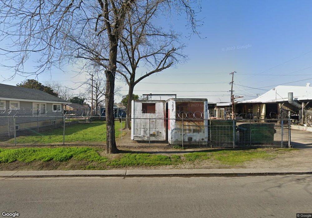
This home is located at 1025 Beatrice Ave, Stockton, CA 95205 and is currently estimated at $134,500. 1025 Beatrice Ave is a home located in San Joaquin County with nearby schools including John C. Fremont Elementary School, Fillmore Elementary School, and King Elementary School.
Ownership History
Date
Name
Owned For
Owner Type
Purchase Details
Closed on
Apr 12, 2016
Sold by
Ryan Terry F Tassano and Tassano Terry F
Bought by
Ryan Terry F Tassano and Terry Tassano Ryan Revocable T
Current Estimated Value
Purchase Details
Closed on
Nov 19, 2015
Sold by
Tassano Alvin M
Bought by
Tassano Revocable Trust and Tassano Cheri La Belle
Purchase Details
Closed on
Dec 26, 2013
Sold by
Tassano Alvin V
Bought by
Tassano Alvin V and Tassano Joan D
Create a Home Valuation Report for This Property
The Home Valuation Report is an in-depth analysis detailing your home's value as well as a comparison with similar homes in the area
Home Values in the Area
Average Home Value in this Area
Purchase History
| Date | Buyer | Sale Price | Title Company |
|---|---|---|---|
| Ryan Terry F Tassano | -- | None Available | |
| Tassano Revocable Trust | -- | None Available | |
| Tassano Alvin V | -- | None Available | |
| Tassano Alvin V | -- | None Available |
Source: Public Records
Tax History Compared to Growth
Tax History
| Year | Tax Paid | Tax Assessment Tax Assessment Total Assessment is a certain percentage of the fair market value that is determined by local assessors to be the total taxable value of land and additions on the property. | Land | Improvement |
|---|---|---|---|---|
| 2025 | $316 | $20,777 | $20,046 | $731 |
| 2024 | $312 | $20,370 | $19,653 | $717 |
| 2023 | $306 | $19,971 | $19,268 | $703 |
| 2022 | $303 | $19,581 | $18,891 | $690 |
| 2021 | $293 | $19,198 | $18,521 | $677 |
| 2020 | $308 | $19,003 | $18,332 | $671 |
| 2019 | $314 | $18,631 | $17,973 | $658 |
| 2018 | $310 | $18,267 | $17,621 | $646 |
| 2017 | $294 | $17,910 | $17,276 | $634 |
| 2016 | $298 | $17,559 | $16,938 | $621 |
| 2015 | $297 | $17,295 | $16,683 | $612 |
| 2014 | $286 | $16,956 | $16,356 | $600 |
Source: Public Records
Map
Nearby Homes
- 1926 E Roosevelt St
- 1813 E Anita St
- 1845 E Poplar St
- 1257 Sunnyside Ave
- 1902 E Harding Way
- 1804 E Flora St
- 1916 Vicki Ln
- 1600 Sunnyside Ave
- 1620 Sycamore Ave
- 1037 N Airport Way
- 1702 Sunnyside Ave
- 1272 N Airport Way
- 1711 E Walnut St
- 1404 Williams St
- 1751 Sunnyside Ave
- 1751 Sycamore Ave
- 1135 N Pilgrim St
- 1155 N Pilgrim St
- 644 N Airport Way
- 2327 E Acacia St
- 1003 Beatrice Ave
- 1001 Beatrice Ave
- 1808 E Roosevelt St
- 1701 E Acacia St
- 1004 Beatrice Ave
- 1000 Beatrice Ave
- 1812 E Roosevelt St
- 1802 E Anita St
- 1809 E Anita St
- 1818 E Roosevelt St
- 989 Beatrice Ave
- 990 Solari Ave
- 970 Beatrice Ave
- 1108 Waterloo Rd
- 1810 E Anita St
- 965 Beatrice Ave
- 1108-3 Waterloo Rd
- 982 Solari Ave
- 960 Beatrice Ave
- 1809 E Acacia St