1025 Bound Tree Rd Contoocook, NH 03229
Estimated Value: $480,000 - $602,279
3
Beds
2
Baths
2,334
Sq Ft
$237/Sq Ft
Est. Value
About This Home
This home is located at 1025 Bound Tree Rd, Contoocook, NH 03229 and is currently estimated at $553,820, approximately $237 per square foot. 1025 Bound Tree Rd is a home located in Merrimack County with nearby schools including Harold Martin School, Maple Street Elementary School, and Hopkinton Middle School.
Ownership History
Date
Name
Owned For
Owner Type
Purchase Details
Closed on
Feb 23, 2005
Sold by
Case Frederick A and Case Lorena
Bought by
Pecce Anthony L and Pecce Laurie A
Current Estimated Value
Home Financials for this Owner
Home Financials are based on the most recent Mortgage that was taken out on this home.
Original Mortgage
$228,000
Outstanding Balance
$33,734
Interest Rate
5.73%
Mortgage Type
Purchase Money Mortgage
Estimated Equity
$520,086
Create a Home Valuation Report for This Property
The Home Valuation Report is an in-depth analysis detailing your home's value as well as a comparison with similar homes in the area
Home Values in the Area
Average Home Value in this Area
Purchase History
| Date | Buyer | Sale Price | Title Company |
|---|---|---|---|
| Pecce Anthony L | $285,000 | -- | |
| Pecce Anthony L | $285,000 | -- |
Source: Public Records
Mortgage History
| Date | Status | Borrower | Loan Amount |
|---|---|---|---|
| Open | Pecce Anthony L | $228,000 | |
| Closed | Pecce Anthony L | $228,000 |
Source: Public Records
Tax History
| Year | Tax Paid | Tax Assessment Tax Assessment Total Assessment is a certain percentage of the fair market value that is determined by local assessors to be the total taxable value of land and additions on the property. | Land | Improvement |
|---|---|---|---|---|
| 2025 | $12,333 | $499,500 | $150,400 | $349,100 |
| 2024 | $11,477 | $496,200 | $150,400 | $345,800 |
| 2023 | $9,823 | $267,500 | $69,600 | $197,900 |
| 2022 | $9,058 | $267,500 | $69,600 | $197,900 |
| 2020 | $8,223 | $266,300 | $69,600 | $196,700 |
| 2019 | $8,250 | $268,200 | $69,600 | $198,600 |
| 2018 | $8,134 | $220,800 | $49,600 | $171,200 |
| 2017 | $8,039 | $220,800 | $49,600 | $171,200 |
| 2016 | $7,408 | $220,800 | $49,600 | $171,200 |
| 2015 | $7,423 | $220,800 | $49,600 | $171,200 |
| 2014 | $7,189 | $220,800 | $49,600 | $171,200 |
| 2013 | $6,653 | $231,500 | $72,400 | $159,100 |
Source: Public Records
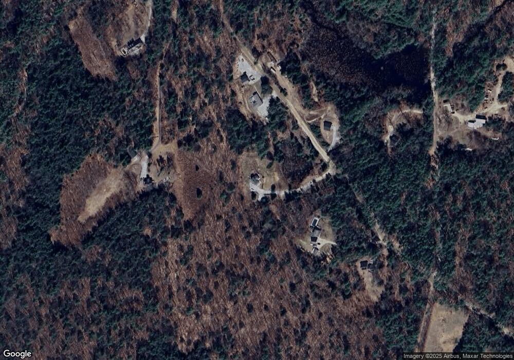
Map
Nearby Homes
- 322 French Rd
- 25 Sunset Dr
- 63 Evergreen Ln
- 306 River Grant Dr
- 304 River Grant Dr
- 30 Evergreen Ln
- Map 03 Lot 89 Route 127
- 56 Maple St Unit C
- 403 Maple St
- 168 Route 103 E
- 455 Maple St
- 0 Old Concord Rd Unit 551-A 5014211
- 298 Battle St
- 70 Hillside Dr
- 86 Maple St
- 41 School St
- 547 Tyler Rd
- Tax Map5B Lot97 Route 114
- 540 x 9 Route 114
- 0 Waldron Hill Rd Unit 30-2-3
- 1057 Bound Tree Rd
- 0 Bound Tree Rd Unit 2713103
- 1139 Bound Tree Rd
- 973 Bound Tree Rd
- 000 Bound Tree Rd
- 951 Bound Tree Rd
- 1153 Bound Tree Rd
- 1144 Bound Tree Rd
- 1162 Bound Tree Rd
- 1549 Clement Hill Rd
- 1549 Clement Hill Rd
- 1186 Bound Tree Rd
- 1379 Clement Hill Rd
- 1267 Bound Tree Rd
- 2 Clement Hill Rd
- 0 Clement Hill Rd Unit Map 25 lots 15 & 16
- Lots 15&16 Clement Hill Rd
- 0 Clement Hill Rd
- 1364 Clement Hill Rd
- 1314 Bound Tree Rd
Your Personal Tour Guide
Ask me questions while you tour the home.