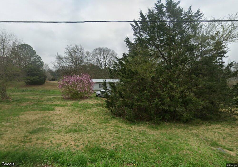
1025 E Point Rd Cedartown, GA 30125
Estimated Value: $55,114 - $183,000
3
Beds
2
Baths
1,680
Sq Ft
$69/Sq Ft
Est. Value
About This Home
This home is located at 1025 E Point Rd, Cedartown, GA 30125 and is currently estimated at $116,029, approximately $69 per square foot. 1025 E Point Rd is a home with nearby schools including Cedar Christian School.
Ownership History
Date
Name
Owned For
Owner Type
Purchase Details
Closed on
Sep 11, 2024
Sold by
Gilchrist Laura Irelene
Bought by
Gilchrist Laura Irelene
Current Estimated Value
Purchase Details
Closed on
Nov 10, 2006
Sold by
Not Provided
Bought by
Bridges James B
Purchase Details
Closed on
May 12, 2002
Sold by
Bridges Kay Marie
Bought by
Bridges James B
Purchase Details
Closed on
Sep 27, 1999
Sold by
Dixon David and Betty Sue
Bought by
Bridges James B
Purchase Details
Closed on
Apr 18, 1990
Sold by
Cooper Phillip S
Bought by
Dixon David and Dixon Betty
Purchase Details
Closed on
Sep 27, 1988
Sold by
Dixon David and Dixon Betty
Bought by
Cooper Phillip S
Create a Home Valuation Report for This Property
The Home Valuation Report is an in-depth analysis detailing your home's value as well as a comparison with similar homes in the area
Purchase History
| Date | Buyer | Sale Price | Title Company |
|---|---|---|---|
| Gilchrist Laura Irelene | -- | -- | |
| Gilchrist Laura Irlene | -- | -- | |
| Bridges James B | -- | -- | |
| Bridges James B | -- | -- | |
| Bridges James B | $23,500 | -- | |
| Dixon David | -- | -- | |
| Cooper Phillip S | -- | -- |
Source: Public Records
Tax History
| Year | Tax Paid | Tax Assessment Tax Assessment Total Assessment is a certain percentage of the fair market value that is determined by local assessors to be the total taxable value of land and additions on the property. | Land | Improvement |
|---|---|---|---|---|
| 2025 | $109 | $4,826 | $3,384 | $1,442 |
| 2024 | $78 | $3,750 | $2,308 | $1,442 |
| 2023 | $0 | $12,042 | $0 | $12,042 |
| 2022 | $71 | $11,658 | $0 | $11,658 |
| 2021 | $72 | $11,658 | $0 | $11,658 |
| 2020 | $72 | $11,658 | $0 | $11,658 |
| 2019 | $60 | $11,658 | $0 | $11,658 |
| 2018 | $62 | $2,233 | $1,538 | $695 |
| 2017 | $61 | $2,233 | $1,538 | $695 |
| 2016 | $99 | $3,624 | $2,928 | $695 |
| 2015 | $99 | $3,624 | $2,928 | $695 |
| 2014 | $100 | $3,624 | $2,928 | $695 |
Source: Public Records
Map
Nearby Homes
- 873 E Point Rd
- 0 Coaling Rd Unit 9221-D 10352096
- 0 Coaling Rd Unit 9221-C 10352086
- 0 Coaling Rd Unit 9221 10352063
- 0 Coaling Rd Unit 9221-B 10352079
- 55 Lovvorn Rd
- 232 Tuck St
- 117 Hicklen Dr
- 160 Tate Rd
- 202 Ridgewood Rd
- 00 Juliette St
- 117 Cason Rd
- 10 Woodglen Dr
- 305 Greenview Ct
- 567 Morton Springs Rd
- 1706 Antioch Rd
- 0 Woodall Rd Unit 7730884
- 0 Woodall Rd Unit 10705831
- 1327 Brooks St
- 1101 East Ave
- 999 E Point Rd
- 996 E Point Rd
- 1050 E Point Rd
- 1050 E Point Rd
- 955 E Point Rd
- 0 Road Unit 7694031
- 0 Road Unit 7672255
- 0 Road Unit 7703662
- 1909 Lees Chapel Rd
- 1900 Lees Chapel Rd
- 2019 Lees Chapel Rd
- 670 Lovvorn Rd
- 1858 Lees Chapel Rd
- 907 E Point Rd
- 2041 Lees Chapel Rd
- 925 E Point Rd
- 1836 Lees Chapel Rd
- 669 Lovvorn Rd
- 1835 Lees Chapel Rd
- 872 E Point Rd
Your Personal Tour Guide
Ask me questions while you tour the home.