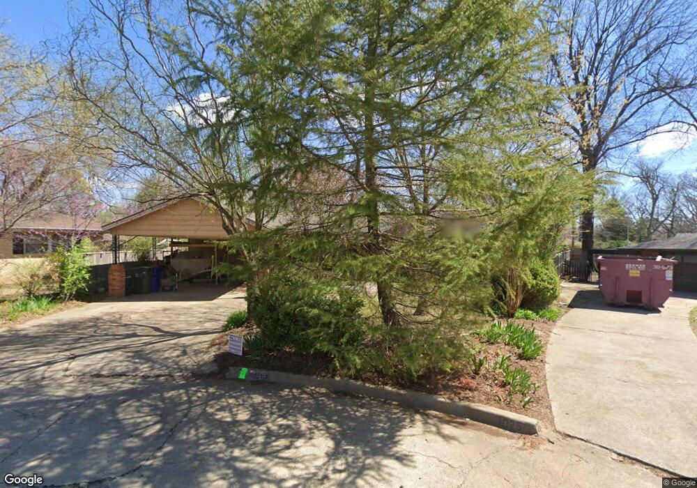
1025 Leslie Ln Norman, OK 73069
Southwest Norman NeighborhoodEstimated Value: $286,000 - $496,000
3
Beds
2
Baths
1,848
Sq Ft
$206/Sq Ft
Est. Value
About This Home
This home is located at 1025 Leslie Ln, Norman, OK 73069 and is currently estimated at $380,328, approximately $205 per square foot. 1025 Leslie Ln is a home located in Cleveland County with nearby schools including McKinley Elementary School, Alcott Middle School, and Norman High School.
Ownership History
Date
Name
Owned For
Owner Type
Purchase Details
Closed on
Aug 6, 2019
Sold by
Clinton Solon A and Rocher Nathalie M
Bought by
Wilson Teran Forest and Santini Andrea Michele
Current Estimated Value
Home Financials for this Owner
Home Financials are based on the most recent Mortgage that was taken out on this home.
Original Mortgage
$208,453
Interest Rate
3.7%
Mortgage Type
Commercial
Purchase Details
Closed on
Jan 13, 2010
Sold by
Federal National Mortgage Association
Bought by
Clinton Solon A
Purchase Details
Closed on
Dec 30, 2006
Sold by
Birnie Robert and Birnie Nakia
Bought by
Leslie Lane Trust
Create a Home Valuation Report for This Property
The Home Valuation Report is an in-depth analysis detailing your home's value as well as a comparison with similar homes in the area
Home Values in the Area
Average Home Value in this Area
Purchase History
| Date | Buyer | Sale Price | Title Company |
|---|---|---|---|
| Wilson Teran Forest | $293,500 | Cleveland Cnty Abstract & Tt | |
| Clinton Solon A | $128,000 | First Financial Title Agency | |
| Leslie Lane Trust | -- | None Available |
Source: Public Records
Mortgage History
| Date | Status | Borrower | Loan Amount |
|---|---|---|---|
| Closed | Wilson Teran Forest | $208,453 |
Source: Public Records
Tax History Compared to Growth
Tax History
| Year | Tax Paid | Tax Assessment Tax Assessment Total Assessment is a certain percentage of the fair market value that is determined by local assessors to be the total taxable value of land and additions on the property. | Land | Improvement |
|---|---|---|---|---|
| 2024 | $4,023 | $33,585 | $4,932 | $28,653 |
| 2023 | $3,842 | $31,986 | $2,400 | $29,586 |
| 2022 | $3,683 | $31,986 | $2,400 | $29,586 |
| 2021 | $3,883 | $31,986 | $2,400 | $29,586 |
| 2020 | $3,800 | $31,986 | $2,400 | $29,586 |
| 2019 | $2,851 | $23,591 | $2,400 | $21,191 |
| 2018 | $2,763 | $23,591 | $2,400 | $21,191 |
| 2017 | $2,796 | $23,591 | $0 | $0 |
| 2016 | -- | $23,591 | $2,400 | $21,191 |
Source: Public Records
Map
Nearby Homes
- 1202 Windsor Way
- 444 S Pickard Ave
- 818 W Boyd St
- 1017 Mcfarland St
- 1125 W Apache St
- 531 S Berry Rd
- 415 S Pickard Ave
- 1222 Windsor Way
- 1221 Cruce St
- 810 S Lahoma Ave
- 1424 Avondale Dr
- 915 W Comanche St
- 1614 Cruce St
- 1032 W Lindsey St
- 318 College Ave
- 1626 Lenox Dr
- 1510 Melrose Dr
- 1527 Camden Way
- 2906 Gulliver St
- 1307 Barbour St