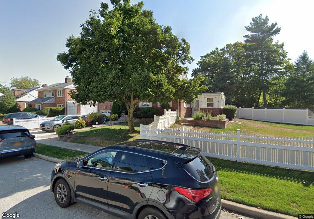
1025 Lincoln Rd West Hempstead, NY 11552
Estimated Value: $774,000 - $796,931
4
Beds
3
Baths
1,570
Sq Ft
$500/Sq Ft
Est. Value
About This Home
This home is located at 1025 Lincoln Rd, West Hempstead, NY 11552 and is currently estimated at $785,466, approximately $500 per square foot. 1025 Lincoln Rd is a home located in Nassau County with nearby schools including Davison Avenue Intermediate School, Maurice W. Downing Primary K-2 School, and Howard T Herber Middle School.
Ownership History
Date
Name
Owned For
Owner Type
Purchase Details
Closed on
Mar 5, 2015
Sold by
Cruz Leonel and Cruz Maria
Bought by
Pena Roy E and Gonzalez Martha
Current Estimated Value
Home Financials for this Owner
Home Financials are based on the most recent Mortgage that was taken out on this home.
Original Mortgage
$364,500
Outstanding Balance
$278,344
Interest Rate
3.6%
Mortgage Type
New Conventional
Estimated Equity
$507,122
Purchase Details
Closed on
Sep 5, 2005
Sold by
Weinum Alex
Bought by
Cruz Leonel
Create a Home Valuation Report for This Property
The Home Valuation Report is an in-depth analysis detailing your home's value as well as a comparison with similar homes in the area
Home Values in the Area
Average Home Value in this Area
Purchase History
| Date | Buyer | Sale Price | Title Company |
|---|---|---|---|
| Pena Roy E | $420,000 | Judicial Title Insurance | |
| Cruz Leonel | $404,000 | -- |
Source: Public Records
Mortgage History
| Date | Status | Borrower | Loan Amount |
|---|---|---|---|
| Open | Pena Roy E | $364,500 |
Source: Public Records
Tax History Compared to Growth
Tax History
| Year | Tax Paid | Tax Assessment Tax Assessment Total Assessment is a certain percentage of the fair market value that is determined by local assessors to be the total taxable value of land and additions on the property. | Land | Improvement |
|---|---|---|---|---|
| 2025 | $13,893 | $465 | $186 | $279 |
| 2024 | $4,749 | $484 | $193 | $291 |
| 2023 | $13,484 | $513 | $205 | $308 |
| 2022 | $13,484 | $506 | $202 | $304 |
| 2021 | $18,192 | $483 | $193 | $290 |
| 2020 | $13,024 | $609 | $436 | $173 |
| 2019 | $12,146 | $653 | $341 | $312 |
| 2018 | $12,298 | $696 | $0 | $0 |
| 2017 | $8,783 | $786 | $468 | $318 |
| 2016 | $13,406 | $786 | $468 | $318 |
| 2015 | $4,326 | $786 | $468 | $318 |
| 2014 | $4,326 | $786 | $468 | $318 |
| 2013 | $4,074 | $786 | $468 | $318 |
Source: Public Records
Map
Nearby Homes
- 5 Juliette Rd
- 49 Carol St
- 312 Coventry Rd S
- 394 Pinebrook Ave
- 301 Coventry Rd N
- 10 Pinebrook Ave
- 1024 Mahopac Rd
- 1070 Mahopac Rd
- 461 Pinebrook Ave
- 55 Melvin Ave
- 486 Champlain Ave
- 7 Hopatcong Ave
- 841 Woodfield Rd
- 1095 Pinebrook Ct
- 1090 Pinebrook Ct
- 402 Clinton Ave
- 450 Rhodes Ln
- 362 Langdon Blvd
- 0 Rhodes Ln
- 1025 Ontario Rd