1025 Nilson Rd Bellefonte, PA 16823
Estimated Value: $409,000 - $497,147
2
Beds
3
Baths
2,719
Sq Ft
$166/Sq Ft
Est. Value
About This Home
This home is located at 1025 Nilson Rd, Bellefonte, PA 16823 and is currently estimated at $452,287, approximately $166 per square foot. 1025 Nilson Rd is a home with nearby schools including Bellefonte Area High School.
Ownership History
Date
Name
Owned For
Owner Type
Purchase Details
Closed on
Jun 27, 2019
Sold by
Beard Rodney A and Beard Rhonda J
Bought by
Hohn Robert J and Hohn Barbara C
Current Estimated Value
Purchase Details
Closed on
Aug 17, 2014
Sold by
Beard Rodney A and Beard Rhonda J
Bought by
Hohn Barbara C and Hohn Robert J
Purchase Details
Closed on
Jul 27, 2006
Sold by
Mattern Ronald D and Mattern Allen Rex
Bought by
Beard Rodney A and Beard Rhonda J
Home Financials for this Owner
Home Financials are based on the most recent Mortgage that was taken out on this home.
Original Mortgage
$385,000
Interest Rate
6.75%
Mortgage Type
Unknown
Create a Home Valuation Report for This Property
The Home Valuation Report is an in-depth analysis detailing your home's value as well as a comparison with similar homes in the area
Home Values in the Area
Average Home Value in this Area
Purchase History
| Date | Buyer | Sale Price | Title Company |
|---|---|---|---|
| Hohn Robert J | $30,000 | None Available | |
| Hohn Barbara C | $55,782 | None Available | |
| Beard Rodney A | $115,000 | None Available |
Source: Public Records
Mortgage History
| Date | Status | Borrower | Loan Amount |
|---|---|---|---|
| Previous Owner | Beard Rodney A | $385,000 |
Source: Public Records
Tax History Compared to Growth
Tax History
| Year | Tax Paid | Tax Assessment Tax Assessment Total Assessment is a certain percentage of the fair market value that is determined by local assessors to be the total taxable value of land and additions on the property. | Land | Improvement |
|---|---|---|---|---|
| 2025 | $5,809 | $91,445 | $22,705 | $68,740 |
| 2024 | $5,545 | $91,445 | $22,705 | $68,740 |
| 2023 | $5,545 | $91,445 | $22,705 | $68,740 |
| 2022 | $5,294 | $88,770 | $22,705 | $66,065 |
| 2021 | $5,272 | $88,770 | $22,705 | $66,065 |
| 2020 | $5,272 | $88,770 | $22,705 | $66,065 |
| 2019 | $4,996 | $87,270 | $21,205 | $66,065 |
| 2018 | $5,075 | $87,270 | $21,205 | $66,065 |
| 2017 | $5,033 | $87,270 | $21,205 | $66,065 |
| 2016 | -- | $87,270 | $21,205 | $66,065 |
| 2014 | -- | $44,540 | $44,540 | $0 |
Source: Public Records
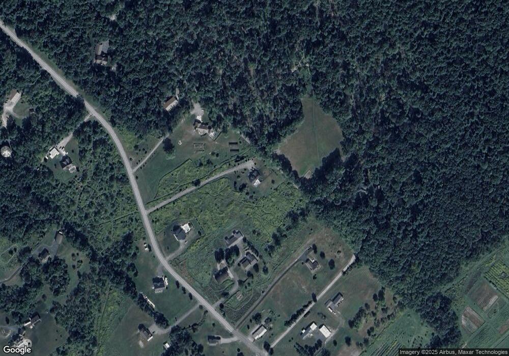
Map
Nearby Homes
- 0 Hunter Ridge Rd
- 0 Hunter Ridge Road Lot Unit WP001
- 128 Marie Ln
- 1249 Blue Spruce Dr
- 136 Brandy Ct
- 240 Lorinda Ln
- 118 Franklin St
- Wyndham Plan at Brookshire Estates
- Greenwood Plan at Brookshire Estates
- Aspen Plan at Brookshire Estates
- Buchanan Plan at Brookshire Estates
- Dickinson Plan at Brookshire Estates
- Coleford Plan at Brookshire Estates
- Avalon Plan at Brookshire Estates
- Hawthorne Plan at Brookshire Estates
- Newport Plan at Brookshire Estates
- Dartmouth Plan at Brookshire Estates
- Bayberry Plan at Brookshire Estates
- Fairmont Plan at Brookshire Estates
- Montgomery Plan at Brookshire Estates
- 991 Nilson Rd
- 205 Taylor Rd
- 1107 Nilson Rd
- 225 Taylor Rd
- 148 Daisy Dr
- 1081 Nilson Rd
- 1080 Nilson Rd
- 542 Panorama Ln
- Lot Off Hunter Ridge Rd
- ON Hunter Ridge Rd
- 608 Benner Rd
- 530 Panorama Ln
- Lot#6 Panorama Ln
- 611 Benner Rd
- 990 Nilson Rd
- 949 Nilson Rd
- 1100 Nilson Rd
- 551 Benner Rd
- 2120 Vista Dr
- 620 Nilson Rd