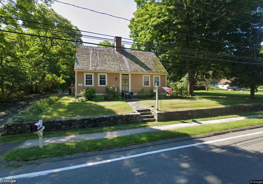
1025 Old Clinton Rd Westbrook, CT 06498
Estimated Value: $572,058 - $716,000
3
Beds
3
Baths
1,557
Sq Ft
$408/Sq Ft
Est. Value
About This Home
This home is located at 1025 Old Clinton Rd, Westbrook, CT 06498 and is currently estimated at $635,015, approximately $407 per square foot. 1025 Old Clinton Rd is a home located in Middlesex County with nearby schools including Daisy Ingraham School, Westbrook Middle School, and Westbrook High School.
Ownership History
Date
Name
Owned For
Owner Type
Purchase Details
Closed on
Jul 27, 2000
Sold by
Nicoll Dale L and Nicoll Jana M
Bought by
Deleo Roberta A
Current Estimated Value
Home Financials for this Owner
Home Financials are based on the most recent Mortgage that was taken out on this home.
Original Mortgage
$168,000
Interest Rate
8.18%
Mortgage Type
Purchase Money Mortgage
Create a Home Valuation Report for This Property
The Home Valuation Report is an in-depth analysis detailing your home's value as well as a comparison with similar homes in the area
Home Values in the Area
Average Home Value in this Area
Purchase History
| Date | Buyer | Sale Price | Title Company |
|---|---|---|---|
| Deleo Roberta A | $210,000 | -- |
Source: Public Records
Mortgage History
| Date | Status | Borrower | Loan Amount |
|---|---|---|---|
| Open | Deleo Roberta A | $137,000 | |
| Closed | Deleo Roberta A | $25,000 | |
| Closed | Deleo Roberta A | $165,000 | |
| Closed | Deleo Roberta A | $168,000 |
Source: Public Records
Tax History
| Year | Tax Paid | Tax Assessment Tax Assessment Total Assessment is a certain percentage of the fair market value that is determined by local assessors to be the total taxable value of land and additions on the property. | Land | Improvement |
|---|---|---|---|---|
| 2025 | $5,886 | $261,620 | $89,510 | $172,110 |
| 2024 | $5,677 | $261,620 | $89,510 | $172,110 |
| 2023 | $5,578 | $261,620 | $89,510 | $172,110 |
| 2022 | $5,431 | $261,620 | $89,510 | $172,110 |
| 2021 | $5,646 | $225,820 | $55,940 | $169,880 |
| 2020 | $5,646 | $225,820 | $55,940 | $169,880 |
| 2019 | $5,571 | $225,820 | $55,940 | $169,880 |
| 2018 | $5,503 | $225,820 | $55,940 | $169,880 |
| 2017 | $5,503 | $225,820 | $55,940 | $169,880 |
| 2016 | $5,070 | $219,090 | $49,730 | $169,360 |
| 2015 | $4,932 | $219,090 | $49,730 | $169,360 |
| 2014 | $4,774 | $219,090 | $49,730 | $169,360 |
Source: Public Records
Map
Nearby Homes
- 951 Old Clinton Rd Unit 15
- 328 Hammock Rd N
- 11a/11b Pond Circle Rd
- 0 Boston Post Rd Unit 24080344
- 41 Trolley Rd
- 85 McVeagh Rd
- 29 Salt Island Rd
- 44 Linden Ave N
- 18 Broadway N
- 19 Old Forge Rd
- 37 Nolin Rd
- 10 Winterberry Cir
- 5 Cook Terrace
- 8 Cook Terrace
- 39 Sagamore Terrace Rd
- 296 E Main St
- 21 Harvey Dr
- 207 Pettipaug Rd
- 0 Causeway
- 1780 Boston Post Rd
- 1019 Old Clinton Rd
- 1037 Old Clinton Rd
- 1005 Old Clinton Rd
- 1034 Old Clinton Rd
- 1059 Old Clinton Rd
- 456 Hammock Rd N
- 1047 Old Clinton Rd
- 1004 Old Clinton Rd
- 1061 Old Clinton Rd
- 1058 Old Clinton Rd
- 444 Hammock Rd N
- 1063 Old Clinton Rd
- 22 Dowd Rd
- 14 Dowd Rd
- 1021 Old Clinton Rd
- 428 Hammock Rd N
- 1031 Old Clinton Rd
- 1078 Old Clinton Rd
- 31 Dowd Rd
- 21 Dowd Rd
Your Personal Tour Guide
Ask me questions while you tour the home.