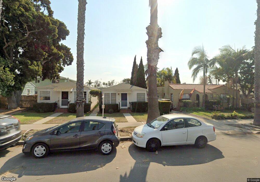
1025 Opal St Unit 27 San Diego, CA 92109
Pacific Beach NeighborhoodEstimated Value: $1,283,000 - $1,589,000
2
Beds
2
Baths
1,102
Sq Ft
$1,292/Sq Ft
Est. Value
About This Home
This home is located at 1025 Opal St Unit 27, San Diego, CA 92109 and is currently estimated at $1,423,612, approximately $1,291 per square foot. 1025 Opal St Unit 27 is a home located in San Diego County with nearby schools including Pacific Beach Elementary School, Pacific Beach Middle, and Mission Bay High School.
Ownership History
Date
Name
Owned For
Owner Type
Purchase Details
Closed on
May 13, 2014
Sold by
Mcdonald Colin F and Mcdonald Kitty I
Bought by
The Kitty I Mcdonald & Colin F Mcdonald
Current Estimated Value
Purchase Details
Closed on
Aug 15, 2005
Sold by
Mcdonald Colin F and Mcdonald Kitty I
Bought by
Mcdonald Colin F and Mcdonald Kitty I
Create a Home Valuation Report for This Property
The Home Valuation Report is an in-depth analysis detailing your home's value as well as a comparison with similar homes in the area
Home Values in the Area
Average Home Value in this Area
Purchase History
| Date | Buyer | Sale Price | Title Company |
|---|---|---|---|
| The Kitty I Mcdonald & Colin F Mcdonald | -- | None Available | |
| Mcdonald Colin F | -- | -- |
Source: Public Records
Tax History Compared to Growth
Tax History
| Year | Tax Paid | Tax Assessment Tax Assessment Total Assessment is a certain percentage of the fair market value that is determined by local assessors to be the total taxable value of land and additions on the property. | Land | Improvement |
|---|---|---|---|---|
| 2025 | $950 | $75,946 | $39,240 | $36,706 |
| 2024 | $950 | $74,458 | $38,471 | $35,987 |
| 2023 | $928 | $72,999 | $37,717 | $35,282 |
| 2022 | $904 | $71,569 | $36,978 | $34,591 |
| 2021 | $898 | $70,166 | $36,253 | $33,913 |
| 2020 | $887 | $69,448 | $35,882 | $33,566 |
| 2019 | $872 | $68,087 | $35,179 | $32,908 |
| 2018 | $817 | $66,753 | $34,490 | $32,263 |
| 2017 | $797 | $65,445 | $33,814 | $31,631 |
| 2016 | $783 | $64,162 | $33,151 | $31,011 |
| 2015 | $772 | $63,200 | $32,654 | $30,546 |
| 2014 | $761 | $61,963 | $32,015 | $29,948 |
Source: Public Records
Map
Nearby Homes
- 938 Opal St
- 972 Sapphire St Unit LA1
- 974 Sapphire St Unit LA2
- 976 Sapphire St Unit LA3
- 1154 Sapphire St
- 1025 Wilbur Ave
- 4944 Cass St Unit 604
- 4944 Cass St Unit 407
- 1148 Turquoise St
- 1059 Agate St Unit A
- 5209 Foothill Blvd
- 1045 Van Nuys St
- 751-63 Turquoise St Unit 27-30
- 819 Van Nuys St
- 5416 Candlelight Dr
- 5452 Moonlight Ln
- 1326 Caminito Arriata
- 4767 Ocean Blvd
- 4767 Ocean Blvd Unit 411
- 1505 Loring St
- 1029 Opal St Unit 31
- 1019 Opal St Unit 23
- 1009 Opal St
- 1035 Opal St Unit 37
- 1043 Opal St Unit 45
- 5025 Cass St
- 1036 Loring St Unit 40
- 1051 Opal St
- 1024 Loring St
- 1024 Loring St Unit 9
- 1024 Loring St Unit 8
- 1024 Loring St Unit 10
- 1024 Loring St Unit 11
- 1024 Loring St Unit 12
- 1024 Loring St Unit 14
- 1024 Loring St Unit 15
- 1024 Loring St Unit 1
- 1024 Loring St Unit 2
- 1024 Loring St Unit 3
- 1024 Loring St Unit 4