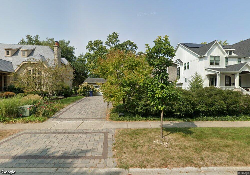
1025 Royal Saint George Dr Naperville, IL 60563
Cress Creek NeighborhoodEstimated Value: $663,000 - $846,000
--
Bed
1
Bath
2,432
Sq Ft
$319/Sq Ft
Est. Value
About This Home
This home is located at 1025 Royal Saint George Dr, Naperville, IL 60563 and is currently estimated at $775,443, approximately $318 per square foot. 1025 Royal Saint George Dr is a home located in DuPage County with nearby schools including Mill Street Elementary School, Jefferson Jr High School, and Naperville North High School.
Ownership History
Date
Name
Owned For
Owner Type
Purchase Details
Closed on
May 10, 2001
Sold by
Danna Anthony L
Bought by
Johnson Douglas and Johnson Elsie
Current Estimated Value
Purchase Details
Closed on
May 30, 1996
Sold by
Dunk William M and Dunk Patsy K
Bought by
Danna Anthony L
Home Financials for this Owner
Home Financials are based on the most recent Mortgage that was taken out on this home.
Original Mortgage
$190,600
Interest Rate
7.87%
Create a Home Valuation Report for This Property
The Home Valuation Report is an in-depth analysis detailing your home's value as well as a comparison with similar homes in the area
Home Values in the Area
Average Home Value in this Area
Purchase History
| Date | Buyer | Sale Price | Title Company |
|---|---|---|---|
| Johnson Douglas | $334,000 | Plm Title Company | |
| Danna Anthony L | $238,500 | -- |
Source: Public Records
Mortgage History
| Date | Status | Borrower | Loan Amount |
|---|---|---|---|
| Previous Owner | Danna Anthony L | $190,600 |
Source: Public Records
Tax History Compared to Growth
Tax History
| Year | Tax Paid | Tax Assessment Tax Assessment Total Assessment is a certain percentage of the fair market value that is determined by local assessors to be the total taxable value of land and additions on the property. | Land | Improvement |
|---|---|---|---|---|
| 2024 | $12,832 | $217,227 | $94,051 | $123,176 |
| 2023 | $12,146 | $195,190 | $84,510 | $110,680 |
| 2022 | $11,572 | $185,090 | $79,610 | $105,480 |
| 2021 | $11,166 | $178,490 | $76,770 | $101,720 |
| 2020 | $11,130 | $178,490 | $76,770 | $101,720 |
| 2019 | $10,735 | $169,770 | $73,020 | $96,750 |
| 2018 | $11,429 | $180,600 | $77,170 | $103,430 |
| 2017 | $11,197 | $174,470 | $74,550 | $99,920 |
| 2016 | $10,835 | $167,430 | $71,540 | $95,890 |
| 2015 | $10,854 | $158,980 | $67,930 | $91,050 |
| 2014 | $10,592 | $150,820 | $64,030 | $86,790 |
| 2013 | $10,518 | $151,860 | $64,470 | $87,390 |
Source: Public Records
Map
Nearby Homes
- 1133 Royal st George Dr Unit 107
- 1125 Royal Saint George Dr Unit 208
- 1053 W Ogden Ave Unit 236
- 1041 W Ogden Ave Unit 2121
- 713 Burning Tree Ln
- 1432 Calcutta Ln
- 609 Bowling Green Ct
- 960 Elderberry Cir Unit 116
- 1105 W Bauer Rd
- 1405 N West St
- 1105 N Mill St Unit 224
- 468 Valley Dr Unit 100
- 450 Valley Dr Unit 201
- 1016 N Mill St Unit 5
- 1215 Chalet Rd Unit 101
- 1518 Wedgefield Cir
- 1056 N Mill St Unit 306
- 1209 W Bauer Rd
- 350 Pearson Cir
- 1234 Chalet Rd Unit 301
- 1021 Royal Saint George Dr
- 1029 Royal Saint George Dr
- 1033 Royal Saint George Dr
- 1017 Royal Saint George Dr
- 1037 Royal Saint George Dr
- 1024 Royal Saint George Dr
- 1020 Royal Saint George Dr
- 1028 Royal Saint George Dr
- 1032 Royal Saint George Dr
- 1016 Royal Saint George Dr
- 1041 Royal Saint George Dr
- 1013 Royal Saint George Dr
- 1036 Royal Saint George Dr
- 1013 Royal Blackheath Ct
- 1017 Briergate Dr
- 1040 Royal Saint George Dr
- 1016 Royal Blackheath Ct
- 1024 Briergate Dr
- 1009 Royal Saint George Dr
- 1008 Royal Saint George Dr