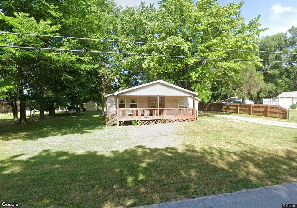
1025 S Miller Rd Springfield, MO 65802
Young-Lilly NeighborhoodEstimated Value: $187,717 - $237,000
2
Beds
1
Bath
1,552
Sq Ft
$141/Sq Ft
Est. Value
About This Home
This home is located at 1025 S Miller Rd, Springfield, MO 65802 and is currently estimated at $218,679, approximately $140 per square foot. 1025 S Miller Rd is a home located in Greene County with nearby schools including Willard Orchard Hills Elementary School and Willard Intermediate-South.
Ownership History
Date
Name
Owned For
Owner Type
Purchase Details
Closed on
Sep 22, 2008
Sold by
Shepard Louie and Shepard Lenda
Bought by
Hall Everett K
Current Estimated Value
Home Financials for this Owner
Home Financials are based on the most recent Mortgage that was taken out on this home.
Original Mortgage
$91,798
Outstanding Balance
$61,058
Interest Rate
6.52%
Mortgage Type
FHA
Estimated Equity
$157,621
Create a Home Valuation Report for This Property
The Home Valuation Report is an in-depth analysis detailing your home's value as well as a comparison with similar homes in the area
Home Values in the Area
Average Home Value in this Area
Purchase History
| Date | Buyer | Sale Price | Title Company |
|---|---|---|---|
| Hall Everett K | -- | Lincoln Land Title Inc |
Source: Public Records
Mortgage History
| Date | Status | Borrower | Loan Amount |
|---|---|---|---|
| Open | Hall Everett K | $91,798 |
Source: Public Records
Tax History
| Year | Tax Paid | Tax Assessment Tax Assessment Total Assessment is a certain percentage of the fair market value that is determined by local assessors to be the total taxable value of land and additions on the property. | Land | Improvement |
|---|---|---|---|---|
| 2025 | $1,097 | $19,420 | $7,980 | $11,440 |
| 2024 | $920 | $16,400 | $6,650 | $9,750 |
| 2023 | $915 | $16,400 | $6,650 | $9,750 |
| 2022 | $917 | $16,280 | $6,650 | $9,630 |
| 2021 | $917 | $16,280 | $6,650 | $9,630 |
| 2020 | $832 | $16,040 | $6,650 | $9,390 |
| 2019 | $829 | $16,040 | $6,650 | $9,390 |
| 2018 | $784 | $15,090 | $4,660 | $10,430 |
| 2017 | $778 | $14,600 | $4,660 | $9,940 |
| 2016 | $749 | $14,600 | $4,660 | $9,940 |
| 2015 | $743 | $14,600 | $4,660 | $9,940 |
| 2014 | $726 | $14,160 | $4,660 | $9,500 |
Source: Public Records
Map
Nearby Homes
- 1189 S Casa Grande Ave
- 4853 Silo Hills Dr
- 4409 W Nicholas St
- 4407 W Nicholas St
- 5145 W Sunstruck St
- 4418 W State St
- 4377 W Skyler Dr
- 1312 S Canton Ave
- 4583 W Minota St
- 4800 W Mount Vernon St
- 4652 Blackfoot Dr
- 867 S Orchard Crest Ave
- 875 S Orchard Crest Ave
- 4442 W Tilden St
- 870 S Orchard Crest Ave
- 842 S Orchard Crest Ave
- 832 S Orchard Crest Ave
- 826 S Orchard Crest Ave
- 4562 W Tarkio St
- 1707 S Miller Rd
- 1025 S Miller Rd
- 1021 S Miller Rd
- 1098 S Miller Rd
- 1018 S Miller Rd
- 1015 S Miller Rd
- 1134 S Miller Rd
- 1139 S Miller Rd
- 4576 W Farm Road 140
- 1078 S Lulwood Ave
- 1056 S Lulwood Ave
- 1157 S Miller Rd
- 4550 W Farm Road 140
- 1106 S Waco Ave
- 1009 S Waco Ave
- 1169 S Miller Rd
- 1124 S Lulwood Ave
- 981 S Miller Rd
- 1176 S Fisk Ave
- 1189 S Miller Rd
- 4663 W Farm Road 140
Your Personal Tour Guide
Ask me questions while you tour the home.