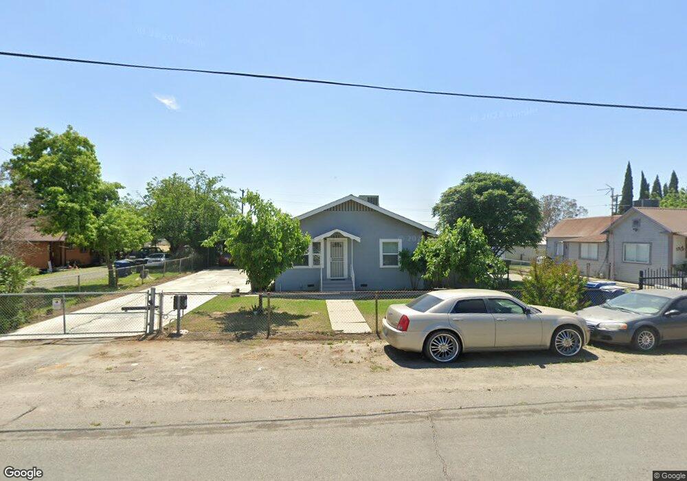
1025 W 6th St Hanford, CA 93230
Estimated Value: $186,000 - $268,000
3
Beds
2
Baths
1,140
Sq Ft
$209/Sq Ft
Est. Value
About This Home
This home is located at 1025 W 6th St, Hanford, CA 93230 and is currently estimated at $238,042, approximately $208 per square foot. 1025 W 6th St is a home located in Kings County with nearby schools including Roosevelt Elementary School, Woodrow Wilson Junior High School, and Hanford West High School.
Ownership History
Date
Name
Owned For
Owner Type
Purchase Details
Closed on
Dec 4, 2014
Sold by
Scott John R and John R Scott 2000 Revocable Tr
Bought by
Free & Clear Real Estate Privacy Trust
Current Estimated Value
Purchase Details
Closed on
Dec 20, 2004
Sold by
Scott John R
Bought by
Scott John R and The John R Scott 2000 Revocabl
Purchase Details
Closed on
Sep 17, 2004
Sold by
Scott Darlene
Bought by
Scott John R
Purchase Details
Closed on
Sep 27, 2001
Sold by
Sand Arlene R
Bought by
Sand Arlene R and Minchew Peggy Ann
Purchase Details
Closed on
Jul 16, 2001
Sold by
Gillespie James and Gillespie Courtney
Bought by
Hart Beverly and Sand Arlene R
Home Financials for this Owner
Home Financials are based on the most recent Mortgage that was taken out on this home.
Original Mortgage
$63,800
Interest Rate
7.09%
Create a Home Valuation Report for This Property
The Home Valuation Report is an in-depth analysis detailing your home's value as well as a comparison with similar homes in the area
Home Values in the Area
Average Home Value in this Area
Purchase History
| Date | Buyer | Sale Price | Title Company |
|---|---|---|---|
| Free & Clear Real Estate Privacy Trust | -- | None Available | |
| Scott John R | -- | -- | |
| Scott John R | -- | Chicago Title Company | |
| Scott John R | $62,500 | Chicago Title Company | |
| Sand Arlene R | -- | -- | |
| Hart Beverly | $70,000 | Cuesta Title Company |
Source: Public Records
Mortgage History
| Date | Status | Borrower | Loan Amount |
|---|---|---|---|
| Previous Owner | Hart Beverly | $63,800 |
Source: Public Records
Tax History Compared to Growth
Tax History
| Year | Tax Paid | Tax Assessment Tax Assessment Total Assessment is a certain percentage of the fair market value that is determined by local assessors to be the total taxable value of land and additions on the property. | Land | Improvement |
|---|---|---|---|---|
| 2025 | $1,097 | $103,412 | $35,457 | $67,955 |
| 2023 | $1,097 | $99,398 | $34,081 | $65,317 |
| 2022 | $1,075 | $97,450 | $33,413 | $64,037 |
| 2021 | $1,052 | $95,540 | $32,758 | $62,782 |
| 2020 | $1,063 | $94,560 | $32,422 | $62,138 |
| 2019 | $1,045 | $92,706 | $31,786 | $60,920 |
| 2018 | $1,015 | $90,888 | $31,163 | $59,725 |
| 2017 | $999 | $89,106 | $30,552 | $58,554 |
| 2016 | $986 | $87,359 | $29,953 | $57,406 |
| 2015 | $980 | $86,047 | $29,503 | $56,544 |
| 2014 | $961 | $84,361 | $28,925 | $55,436 |
Source: Public Records
Map
Nearby Homes
- 148 Walnut St
- 165 Walnut St
- 930 W 7th St
- 152 Walnut St
- 942 W 7th St
- 1121 W 6th St
- 0 Campus Dr
- 573 Manor Ave
- 626 Kimball Ln
- 670 Grant St
- 735 Manor Ave
- AE 85 W Bison Ln
- AE 86 W Bison Ln
- AE 87 W Bison Ln
- 558 Parsons St
- 650 S 11th Ave
- 8.11 Acres W Lacey Blvd
- 1769 N Jennie Lake
- 1240 Washington St
- 12319 12th Ave