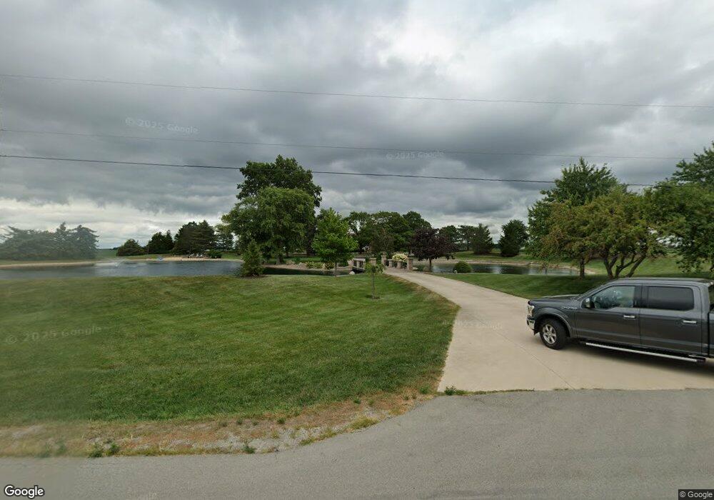
10250 Us Route 127 Mendon, OH 45862
Estimated Value: $347,000 - $718,460
4
Beds
4
Baths
4,157
Sq Ft
$118/Sq Ft
Est. Value
About This Home
This home is located at 10250 Us Route 127, Mendon, OH 45862 and is currently estimated at $492,487, approximately $118 per square foot. 10250 Us Route 127 is a home located in Mercer County with nearby schools including Parkway Elementary School, Parkway Middle School, and Parkway High School.
Ownership History
Date
Name
Owned For
Owner Type
Purchase Details
Closed on
Feb 6, 2018
Sold by
Monfort Jeffrey and Monfort Mary A
Bought by
The Jeffrey And Mary Monfort Family Trus
Current Estimated Value
Purchase Details
Closed on
Feb 12, 2010
Sold by
Utgard Robert J and Utgard Jane
Bought by
Monfort Mary A and Mary A Monfort Revocable Living Trust
Home Financials for this Owner
Home Financials are based on the most recent Mortgage that was taken out on this home.
Original Mortgage
$243,946
Interest Rate
5.11%
Mortgage Type
New Conventional
Purchase Details
Closed on
Nov 18, 2002
Bought by
Monfort Mary A Trustee
Create a Home Valuation Report for This Property
The Home Valuation Report is an in-depth analysis detailing your home's value as well as a comparison with similar homes in the area
Home Values in the Area
Average Home Value in this Area
Purchase History
| Date | Buyer | Sale Price | Title Company |
|---|---|---|---|
| The Jeffrey And Mary Monfort Family Trus | -- | None Available | |
| Monfort Jeffrey | -- | None Available | |
| Monfort Mary A | -- | Attorney | |
| Monfort Mary A Trustee | -- | -- |
Source: Public Records
Mortgage History
| Date | Status | Borrower | Loan Amount |
|---|---|---|---|
| Closed | Monfort Mary A | $243,946 |
Source: Public Records
Tax History Compared to Growth
Tax History
| Year | Tax Paid | Tax Assessment Tax Assessment Total Assessment is a certain percentage of the fair market value that is determined by local assessors to be the total taxable value of land and additions on the property. | Land | Improvement |
|---|---|---|---|---|
| 2024 | $8,813 | $260,720 | $19,810 | $240,910 |
| 2023 | $8,813 | $260,720 | $19,810 | $240,910 |
| 2022 | $6,625 | $158,450 | $17,850 | $140,600 |
| 2021 | $6,454 | $156,910 | $17,850 | $139,060 |
| 2020 | $3,276 | $156,910 | $17,850 | $139,060 |
| 2019 | $5,937 | $149,600 | $16,700 | $132,900 |
| 2018 | $5,592 | $144,630 | $16,700 | $127,930 |
| 2017 | $5,197 | $144,630 | $16,700 | $127,930 |
| 2016 | $4,799 | $132,730 | $14,880 | $117,850 |
| 2015 | $4,741 | $132,730 | $14,880 | $117,850 |
| 2014 | $4,747 | $132,730 | $14,880 | $117,850 |
| 2013 | $5,684 | $144,240 | $16,170 | $128,070 |
Source: Public Records
Map
Nearby Homes
- 5110 Fast Rd
- 9155 Us Route 127
- 0 Drake St
- 209 S Wayne St
- 7295 Oregon Rd
- 8323 Deep Cut Rd
- 0 Wilson Unit 1037059
- 0 Wilson Unit 306333
- 208 W Pearl St
- 12029 Dutton Rd
- 210 W Pearl St
- 208 Market St
- 7957 W Bridge St
- 0 Rockford West Rd Unit Lots 14- 28
- 7680 Celina Mendon Rd
- 1528 Mary Ln
- 2010 Barnsbury Ct
- 1312 Michael Ave
- 1218 Brittany Dr
- 0 Mercer van Wert County Line Rd
- 10250 Us Route 127
- 10115 Us Rte 127
- 10036 U S 127
- 10020 Us Route 127
- 10020 U S 127
- 9984 Us Route 127
- 5911 Us Route 33
- 9923 Us Route 127
- 9923 U S 127
- 9876 Us Route 127
- 5650 Us Route 33
- 9871 Us Route 127
- 5644 Us Route 33
- 9862 Us Route 127
- 5661 Us Route 33
- 5661 Us Route 33
- 10498 Us Route 127
- 5594 Harrison St
- 5594 Harrison St
- 5636 Us Route 33