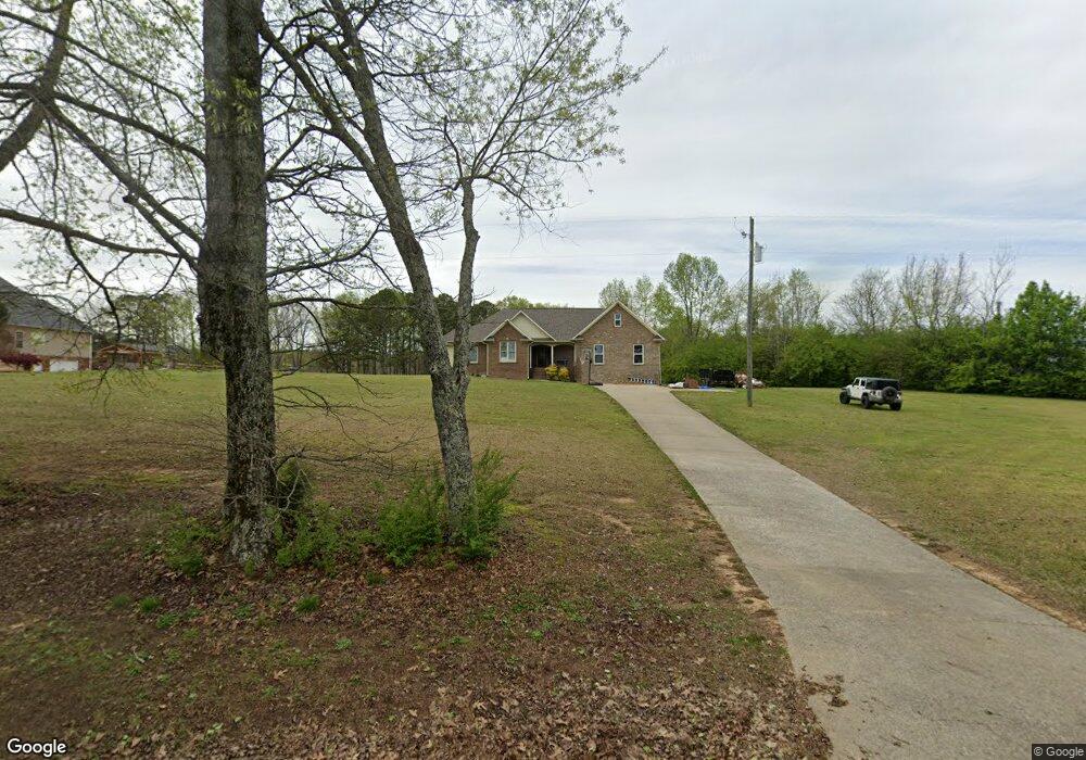
10255 Mize Rd Remlap, AL 35133
Estimated Value: $268,000 - $345,000
3
Beds
2
Baths
1,911
Sq Ft
$159/Sq Ft
Est. Value
About This Home
This home is located at 10255 Mize Rd, Remlap, AL 35133 and is currently estimated at $304,077, approximately $159 per square foot. 10255 Mize Rd is a home located in Blount County with nearby schools including Southeastern Elementary School.
Ownership History
Date
Name
Owned For
Owner Type
Purchase Details
Closed on
Aug 29, 2016
Sold by
Masburn Joseph and Masburn Emily
Bought by
Lowery Michael and Lowery Jessica
Current Estimated Value
Purchase Details
Closed on
Nov 21, 2005
Sold by
Shirley Roger D and Shirley Deborah
Bought by
Mashburn Joseph and Mashburn Emily
Create a Home Valuation Report for This Property
The Home Valuation Report is an in-depth analysis detailing your home's value as well as a comparison with similar homes in the area
Home Values in the Area
Average Home Value in this Area
Purchase History
| Date | Buyer | Sale Price | Title Company |
|---|---|---|---|
| Lowery Michael | -- | -- | |
| Mashburn Joseph | -- | -- |
Source: Public Records
Tax History
| Year | Tax Paid | Tax Assessment Tax Assessment Total Assessment is a certain percentage of the fair market value that is determined by local assessors to be the total taxable value of land and additions on the property. | Land | Improvement |
|---|---|---|---|---|
| 2024 | $804 | $25,040 | $2,340 | $22,700 |
| 2023 | $814 | $25,200 | $2,200 | $23,000 |
| 2022 | $685 | $21,080 | $2,200 | $18,880 |
| 2021 | $675 | $20,780 | $1,680 | $19,100 |
| 2020 | $675 | $21,140 | $3,000 | $18,140 |
| 2019 | $687 | $21,140 | $3,000 | $18,140 |
| 2018 | $644 | $19,820 | $3,000 | $16,820 |
| 2017 | $643 | $0 | $0 | $0 |
| 2015 | $565 | $19,180 | $0 | $0 |
| 2014 | -- | $19,880 | $0 | $0 |
| 2013 | -- | $20,340 | $0 | $0 |
Source: Public Records
Map
Nearby Homes
- 8881 Pine Mountain Rd
- 170 Homestead Ln
- 8660 Pine Mountain Rd Unit 1
- 8536 Pine Mountain Rd
- 0 Pine Heart Dr Unit 23088357
- 6268 Lakewood Trail
- 8665 Clubhouse Cir
- Lot #12 Woodhaven Dr
- 8965 Woodhaven Dr Unit 1
- 8543 Emerald Lake Dr E
- 6187 Lakeside Dr
- Lot 161 Creekside Dr
- 6359 Sagewood Cir
- 0 Woodhaven Dr Unit 21433306
- 8511 Woodview Ln
- 432 Shelterwood Cir
- 6091 Lakeside Dr
- 8470 Emerald Lake Dr W
- 433 Shelterwood Cir
- 8596 Woodview Ln
Your Personal Tour Guide
Ask me questions while you tour the home.