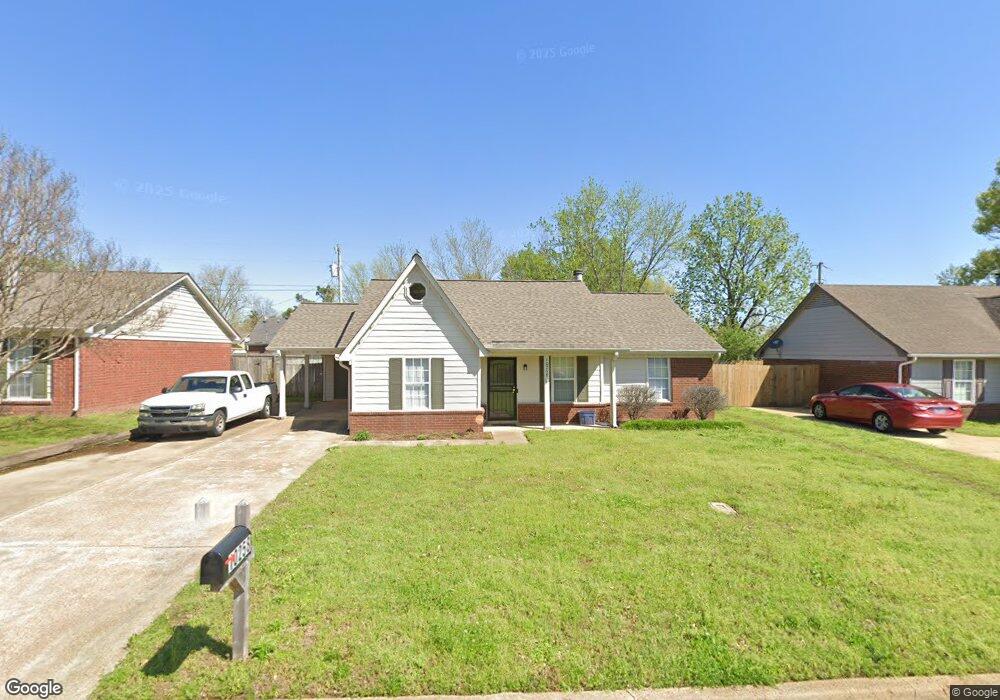
10258 Curtis Dr Olive Branch, MS 38654
Estimated Value: $205,000 - $224,000
3
Beds
2
Baths
1,199
Sq Ft
$176/Sq Ft
Est. Value
About This Home
This home is located at 10258 Curtis Dr, Olive Branch, MS 38654 and is currently estimated at $210,934, approximately $175 per square foot. 10258 Curtis Dr is a home located in DeSoto County with nearby schools including Olive Branch Elementary School, Chickasaw Elementary School, and Olive Branch Middle School.
Ownership History
Date
Name
Owned For
Owner Type
Purchase Details
Closed on
Aug 13, 2021
Sold by
Landreth Michael L and Landreth Bobbi
Bought by
Landreth Investments Llc Series Q
Current Estimated Value
Purchase Details
Closed on
Sep 15, 2009
Sold by
Secretary Of Housing & Urban Development
Bought by
Landreth Michael L and Landreth Bobbi
Home Financials for this Owner
Home Financials are based on the most recent Mortgage that was taken out on this home.
Original Mortgage
$80,087
Interest Rate
5.15%
Mortgage Type
Purchase Money Mortgage
Create a Home Valuation Report for This Property
The Home Valuation Report is an in-depth analysis detailing your home's value as well as a comparison with similar homes in the area
Home Values in the Area
Average Home Value in this Area
Purchase History
| Date | Buyer | Sale Price | Title Company |
|---|---|---|---|
| Landreth Investments Llc Series Q | -- | Accommodation | |
| Landreth Michael L | -- | None Available |
Source: Public Records
Mortgage History
| Date | Status | Borrower | Loan Amount |
|---|---|---|---|
| Closed | Landreth Michael L | $80,087 |
Source: Public Records
Tax History Compared to Growth
Tax History
| Year | Tax Paid | Tax Assessment Tax Assessment Total Assessment is a certain percentage of the fair market value that is determined by local assessors to be the total taxable value of land and additions on the property. | Land | Improvement |
|---|---|---|---|---|
| 2024 | $1,485 | $10,883 | $2,250 | $8,633 |
| 2023 | $1,485 | $10,883 | $0 | $0 |
| 2022 | $1,485 | $10,883 | $2,250 | $8,633 |
| 2021 | $1,485 | $10,883 | $2,250 | $8,633 |
| 2020 | $1,391 | $10,193 | $2,250 | $7,943 |
| 2019 | $1,391 | $10,193 | $2,250 | $7,943 |
| 2017 | $1,369 | $17,710 | $9,980 | $7,730 |
| 2016 | $1,369 | $9,980 | $2,250 | $7,730 |
| 2015 | $1,369 | $17,710 | $9,980 | $7,730 |
| 2014 | $1,432 | $10,438 | $0 | $0 |
| 2013 | $1,390 | $10,438 | $0 | $0 |
Source: Public Records
Map
Nearby Homes
- 10155 Riggan Dr
- 10227 Williford Dr
- 10335 Yates Dr
- 10101 Stephenson Ln
- 6729 Branch Rd S
- 6716 Branch Rd S
- 9919 Adina Cove
- 10475 Courtney Cove
- 10625 Kristen Dr
- 9745 Riggan Dr
- 6825 Charlotte Dr
- 9759 Pigeon Roost Park Cir
- 9800 Cherokee Dr
- 9821 Morgan Manor Dr
- 6741 Hacks Cross Rd
- 10862 Wiseman Dr
- 6041 Allen Pkwy W
- 9270 College St
- 9452 Trotwood Cove
- 10082 Lacey Dr
- 10270 Curtis Dr
- 10244 Curtis Dr
- 10257 Hyman Dr
- 10269 Hyman Dr
- 10245 Hyman Dr
- 10232 Curtis Dr
- 6649 Magnolia Dr
- 10255 Curtis Dr
- 10233 Hyman Dr
- 10267 Curtis Dr
- 10243 Curtis Dr
- 6661 Magnolia Dr
- 6685 Magnolia Dr
- 10220 Curtis Dr
- 10233 Curtis Dr
- 10281 Curtis Dr
- 10221 Hyman Dr
- 10221 Curtis Dr
- 10208 Curtis Dr
- 10152 Riggan Dr