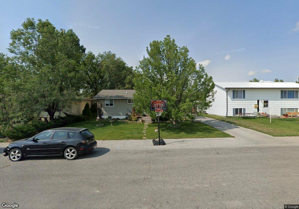
1026 6th Ave Laurel, MT 59044
Estimated Value: $308,000 - $360,000
5
Beds
2
Baths
2,016
Sq Ft
$162/Sq Ft
Est. Value
About This Home
This home is located at 1026 6th Ave, Laurel, MT 59044 and is currently estimated at $325,885, approximately $161 per square foot. 1026 6th Ave is a home located in Yellowstone County with nearby schools including West School, Fred W. Graff School, and Laurel Middle School.
Ownership History
Date
Name
Owned For
Owner Type
Purchase Details
Closed on
Aug 24, 2020
Sold by
Wilson Darren D and Wilson Amanda L
Bought by
Wilson Darren and Wilson Amanda
Current Estimated Value
Home Financials for this Owner
Home Financials are based on the most recent Mortgage that was taken out on this home.
Original Mortgage
$166,000
Outstanding Balance
$146,643
Interest Rate
2.9%
Mortgage Type
New Conventional
Estimated Equity
$179,242
Purchase Details
Closed on
Apr 24, 2015
Sold by
Thompson John and Thompson Sharla
Bought by
Wilson Darren D and Wilson Amanda L
Home Financials for this Owner
Home Financials are based on the most recent Mortgage that was taken out on this home.
Original Mortgage
$175,757
Interest Rate
3.37%
Mortgage Type
FHA
Create a Home Valuation Report for This Property
The Home Valuation Report is an in-depth analysis detailing your home's value as well as a comparison with similar homes in the area
Home Values in the Area
Average Home Value in this Area
Purchase History
| Date | Buyer | Sale Price | Title Company |
|---|---|---|---|
| Wilson Darren | -- | Stewart Title Company | |
| Wilson Darren D | -- | Amercian Title & Escrow |
Source: Public Records
Mortgage History
| Date | Status | Borrower | Loan Amount |
|---|---|---|---|
| Open | Wilson Darren | $166,000 | |
| Closed | Wilson Darren D | $175,757 |
Source: Public Records
Tax History
| Year | Tax Paid | Tax Assessment Tax Assessment Total Assessment is a certain percentage of the fair market value that is determined by local assessors to be the total taxable value of land and additions on the property. | Land | Improvement |
|---|---|---|---|---|
| 2025 | $2,413 | $314,700 | $59,950 | $254,750 |
| 2024 | $2,413 | $243,800 | $39,017 | $204,783 |
| 2023 | $2,225 | $243,800 | $39,017 | $204,783 |
| 2022 | $1,745 | $209,100 | $0 | $0 |
| 2021 | $2,028 | $209,100 | $0 | $0 |
| 2020 | $2,045 | $208,400 | $0 | $0 |
| 2019 | $2,027 | $208,400 | $0 | $0 |
| 2018 | $1,907 | $185,300 | $0 | $0 |
| 2017 | $1,768 | $185,300 | $0 | $0 |
| 2016 | $1,635 | $172,200 | $0 | $0 |
| 2015 | $1,565 | $166,100 | $0 | $0 |
| 2014 | -- | $80,772 | $0 | $0 |
Source: Public Records
Map
Nearby Homes
- 1109 10th Ave
- 1216 W 12th Street Cir
- 1254 W Beartooth Dr
- 1013 W 12th St
- 603 5th Ave
- 1319 Valley Dr
- 319 6th Ave
- 310 (and 814 w 4) 8th Ave
- 1014 Rochelle Ln
- 110 E 5th St
- TBD Block 3 Lot 6
- 516 Pennsylvania Ave
- 116 4th Ave
- 102 8th Ave Unit B
- 1631 Valley Dr
- 414 Wyoming Ave
- 601 E 5th St
- 1735 Lobo Dr
- 717 E 5th St
- 717 E 5th, 506 Alder Ave
Your Personal Tour Guide
Ask me questions while you tour the home.