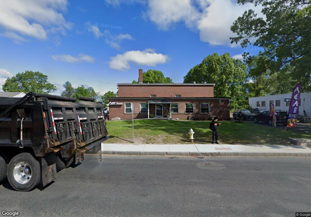
1026 Bay St Springfield, MA 01109
Bay NeighborhoodEstimated Value: $535,880
--
Bed
--
Bath
6,600
Sq Ft
$81/Sq Ft
Est. Value
About This Home
This home is located at 1026 Bay St, Springfield, MA 01109 and is currently estimated at $535,880, approximately $81 per square foot. 1026 Bay St is a home located in Hampden County with nearby schools including Hiram L. Dorman Elementary, John F. Kennedy Academy, and Springfield Central High School.
Ownership History
Date
Name
Owned For
Owner Type
Purchase Details
Closed on
Oct 10, 2019
Sold by
Quality Properties Llc
Bought by
Npn Realty Llc
Current Estimated Value
Purchase Details
Closed on
Jan 14, 2004
Sold by
W Lee Costigan Co Inc
Bought by
Auchy Robert B
Purchase Details
Closed on
Apr 11, 1985
Bought by
Quality Properties Llc
Create a Home Valuation Report for This Property
The Home Valuation Report is an in-depth analysis detailing your home's value as well as a comparison with similar homes in the area
Home Values in the Area
Average Home Value in this Area
Purchase History
| Date | Buyer | Sale Price | Title Company |
|---|---|---|---|
| Npn Realty Llc | $300,000 | -- | |
| Npn Realty Llc | $300,000 | -- | |
| Auchy Robert B | -- | -- | |
| Auchy Robert B | -- | -- | |
| Auchy Robert B | -- | -- | |
| Quality Properties Llc | $225,000 | -- |
Source: Public Records
Tax History Compared to Growth
Tax History
| Year | Tax Paid | Tax Assessment Tax Assessment Total Assessment is a certain percentage of the fair market value that is determined by local assessors to be the total taxable value of land and additions on the property. | Land | Improvement |
|---|---|---|---|---|
| 2025 | $25,686 | $729,300 | $208,500 | $520,800 |
| 2024 | $22,142 | $625,300 | $195,500 | $429,800 |
| 2023 | $0 | $554,300 | $187,700 | $366,600 |
| 2022 | $15,877 | $456,200 | $119,400 | $336,800 |
| 2021 | $0 | $400,200 | $119,400 | $280,800 |
| 2020 | $15,877 | $350,300 | $128,100 | $222,200 |
| 2019 | $13,500 | $343,500 | $109,900 | $233,600 |
| 2018 | $14,393 | $341,500 | $109,900 | $231,600 |
| 2017 | $14,393 | $368,400 | $83,400 | $285,000 |
| 2016 | $14,768 | $382,600 | $83,400 | $299,200 |
| 2015 | $9,402 | $242,500 | $83,400 | $159,100 |
Source: Public Records
Map
Nearby Homes
- 72 W Bay Path Terrace
- 63 Peer St
- 1277 Bay St
- 58 Eureka St
- 152 Monrovia St
- 96 Elijah St
- 181 Marsden St
- 114 Monrovia St
- 40 Goldenrod St
- 46 Balis St
- 52-54 Aster St
- 52-54 Campechi St
- 23 Eldert St
- 246 El Paso St
- 90 Saint James Cir
- 224 Berkshire Ave
- 223 Saint James Blvd
- 24-26 Jenness St
- 270 Berkshire Ave
- 47 Holy Cross St
- 980 Bay St
- 980 Bay St
- 966 Bay St
- 1104 Bay St
- 1024 Bay St
- 1112 Bay St
- 1122 Bay St
- 1115 Bay St
- 1130 Bay St
- 0 Bay St
- 1161 Bay St
- 0 Bay St Ns Unit 71612892
- 0 Bay St Ns Unit 71612888
- 0 Bay St Ns Unit 71612878
- 1165 Bay St
- 1869 Roosevelt Ave
- 1865 Roosevelt Ave
- 1859 Roosevelt Ave
- 1853 Roosevelt Ave
- 1853 Roosevelt Ave Unit 1