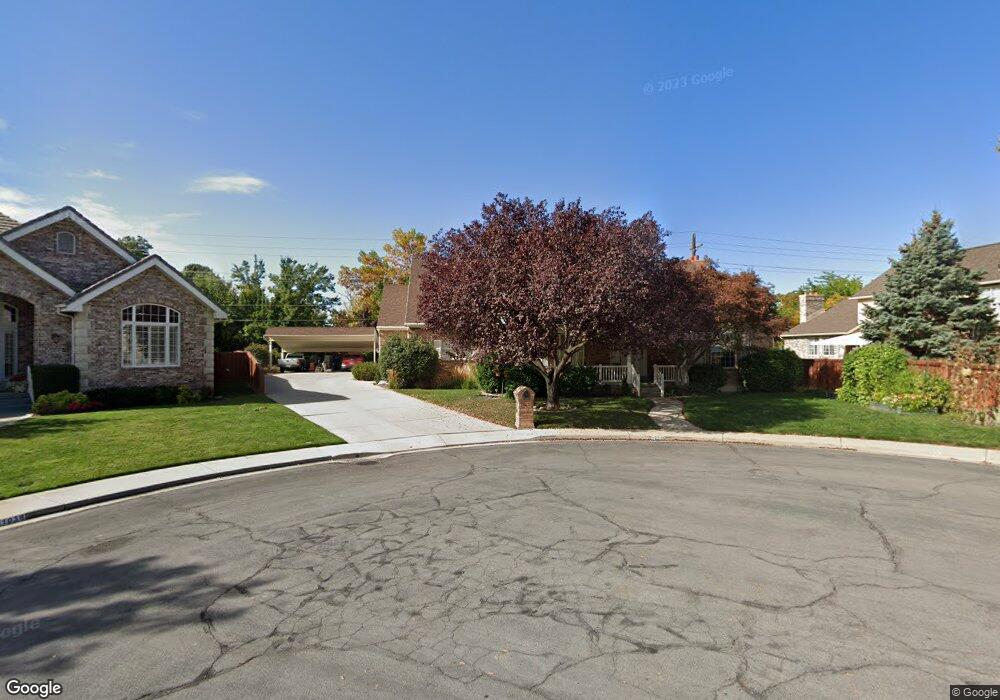
1026 Coventry Cir Orem, UT 84097
Hillcrest NeighborhoodEstimated Value: $1,113,000
6
Beds
4
Baths
6,299
Sq Ft
$177/Sq Ft
Est. Value
About This Home
This home is located at 1026 Coventry Cir, Orem, UT 84097 and is currently priced at $1,113,000, approximately $176 per square foot. 1026 Coventry Cir is a home located in Utah County with nearby schools including Centennial Elementary, Lakeridge Jr High School, and Orem High School.
Create a Home Valuation Report for This Property
The Home Valuation Report is an in-depth analysis detailing your home's value as well as a comparison with similar homes in the area
Home Values in the Area
Average Home Value in this Area
Tax History
| Year | Tax Paid | Tax Assessment Tax Assessment Total Assessment is a certain percentage of the fair market value that is determined by local assessors to be the total taxable value of land and additions on the property. | Land | Improvement |
|---|---|---|---|---|
| 2022 | $3,856 | $490,985 | $0 | $0 |
| 2021 | $3,431 | $661,600 | $173,900 | $487,700 |
| 2020 | $3,232 | $612,600 | $139,100 | $473,500 |
| 2019 | $2,727 | $537,400 | $139,100 | $398,300 |
| 2018 | $2,854 | $537,400 | $139,100 | $398,300 |
| 2017 | $2,889 | $291,445 | $0 | $0 |
| 2016 | $2,723 | $253,275 | $0 | $0 |
| 2015 | $2,574 | $226,435 | $0 | $0 |
| 2014 | $2,212 | $193,710 | $0 | $0 |
Source: Public Records
Map
Nearby Homes
- 745 S 900 E
- 930 E 700 S
- 1360 S Carterville Rd
- 943 S 550 E
- 721 S 670 E
- 404 W 3700 N
- 946 S 450 E
- 638 E 600 S
- 158 Woodside Dr
- 544 S Carterville Rd
- 720 E 1500 S
- 478 S 950 E
- 691 E 1600 S
- 3240 Shadowbrook Dr
- 543 S 560 E
- 111 Candlewood Place
- 2999 N Marrcrest West Dr
- 2939 N Marrcrest Dr W
- 673 E 1650 S
- 560 S 500 E
Your Personal Tour Guide
Ask me questions while you tour the home.