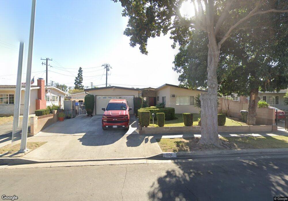
1026 Evanwood Ave La Puente, CA 91744
West Puente Valley NeighborhoodEstimated Value: $725,000 - $869,000
4
Beds
2
Baths
1,850
Sq Ft
$416/Sq Ft
Est. Value
About This Home
This home is located at 1026 Evanwood Ave, La Puente, CA 91744 and is currently estimated at $768,676, approximately $415 per square foot. 1026 Evanwood Ave is a home located in Los Angeles County with nearby schools including California Elementary School, Sparks Middle School, and La Puente High School.
Ownership History
Date
Name
Owned For
Owner Type
Purchase Details
Closed on
Feb 9, 2007
Sold by
Avila Roberto and Avila Lydia
Bought by
Avila Roberto
Current Estimated Value
Home Financials for this Owner
Home Financials are based on the most recent Mortgage that was taken out on this home.
Original Mortgage
$225,000
Interest Rate
6.25%
Mortgage Type
New Conventional
Purchase Details
Closed on
Aug 25, 2005
Sold by
Avila Roberto and Avila Lydia
Bought by
Avila Roberto
Create a Home Valuation Report for This Property
The Home Valuation Report is an in-depth analysis detailing your home's value as well as a comparison with similar homes in the area
Home Values in the Area
Average Home Value in this Area
Purchase History
| Date | Buyer | Sale Price | Title Company |
|---|---|---|---|
| Avila Roberto | -- | Accommodation | |
| Avila Roberto | -- | United General Title Ins Co | |
| Avila Roberto | -- | -- | |
| Avila Roberto | -- | -- |
Source: Public Records
Mortgage History
| Date | Status | Borrower | Loan Amount |
|---|---|---|---|
| Closed | Avila Roberto | $225,000 |
Source: Public Records
Tax History Compared to Growth
Tax History
| Year | Tax Paid | Tax Assessment Tax Assessment Total Assessment is a certain percentage of the fair market value that is determined by local assessors to be the total taxable value of land and additions on the property. | Land | Improvement |
|---|---|---|---|---|
| 2025 | $2,368 | $158,446 | $50,732 | $107,714 |
| 2024 | $2,368 | $155,340 | $49,738 | $105,602 |
| 2023 | $2,311 | $152,295 | $48,763 | $103,532 |
| 2022 | $2,249 | $149,309 | $47,807 | $101,502 |
| 2021 | $2,205 | $146,382 | $46,870 | $99,512 |
| 2019 | $2,147 | $142,042 | $45,481 | $96,561 |
| 2018 | $2,031 | $139,258 | $44,590 | $94,668 |
| 2016 | $1,885 | $133,852 | $42,859 | $90,993 |
| 2015 | $1,851 | $131,843 | $42,216 | $89,627 |
| 2014 | $1,829 | $129,262 | $41,390 | $87,872 |
Source: Public Records
Map
Nearby Homes
- 932 Shadydale Ave
- 822 Greenberry Dr
- 829 Foxworth Ave
- 1260 Greenberry Dr
- 750 Glenshaw Dr
- 1828 Stargaze Dr
- 14972 Giordano St
- 14612 Hutchcroft St
- 14421 Flynn St
- 736 Tonopah Ave
- 1528 W Delvale St
- 1329 N Stimson Ave
- 1544 Evanwood Ave
- 1358 N Stimson Ave
- 14940 Beckner St
- 15246 Temple Ave
- 15416 Giordano St
- 357 Cadbrook Dr
- 544 N Orange Ave Unit B
- 1174 Del Valle Ave
- 1020 Evanwood Ave
- 1030 Evanwood Ave
- 1027 Glenshaw Dr
- 1014 Evanwood Ave
- 1021 Glenshaw Dr
- 1033 Glenshaw Dr
- 1036 Evanwood Ave
- 14808 Ragus St
- 1015 Glenshaw Dr
- 1027 Evanwood Ave
- 14812 Ragus St
- 1008 Evanwood Ave
- 1021 Evanwood Ave
- 1031 Evanwood Ave
- 1015 Evanwood Ave
- 1037 Evanwood Ave
- 1009 Glenshaw Dr
- 14818 Ragus St
- 1002 Evanwood Ave
- 1009 Evanwood Ave