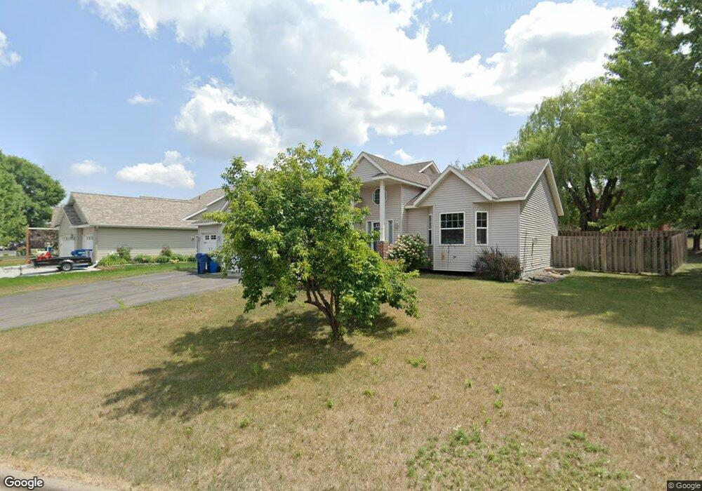
1026 Meadows Dr Sauk Rapids, MN 56379
Estimated Value: $329,000 - $357,000
5
Beds
4
Baths
2,088
Sq Ft
$166/Sq Ft
Est. Value
About This Home
This home is located at 1026 Meadows Dr, Sauk Rapids, MN 56379 and is currently estimated at $346,432, approximately $165 per square foot. 1026 Meadows Dr is a home located in Benton County with nearby schools including Mississippi Heights Elementary School, Sauk Rapids-Rice Middle School, and Sauk Rapids-Rice Senior High School.
Ownership History
Date
Name
Owned For
Owner Type
Purchase Details
Closed on
Dec 20, 2021
Sold by
Lietzow Christine Ann and Brown Christine Ann
Bought by
Fyten Hannah L and Wright Drew K
Current Estimated Value
Home Financials for this Owner
Home Financials are based on the most recent Mortgage that was taken out on this home.
Original Mortgage
$260,200
Outstanding Balance
$238,896
Interest Rate
2.98%
Mortgage Type
FHA
Estimated Equity
$107,536
Purchase Details
Closed on
Nov 3, 2006
Sold by
Lock George Alfred
Bought by
Lietzow Christine Ann and Lock Christine A
Home Financials for this Owner
Home Financials are based on the most recent Mortgage that was taken out on this home.
Original Mortgage
$251,490
Interest Rate
6.4%
Mortgage Type
Adjustable Rate Mortgage/ARM
Create a Home Valuation Report for This Property
The Home Valuation Report is an in-depth analysis detailing your home's value as well as a comparison with similar homes in the area
Home Values in the Area
Average Home Value in this Area
Purchase History
| Date | Buyer | Sale Price | Title Company |
|---|---|---|---|
| Fyten Hannah L | $265,000 | Tri County Abstract | |
| Lietzow Christine Ann | $87,033 | -- |
Source: Public Records
Mortgage History
| Date | Status | Borrower | Loan Amount |
|---|---|---|---|
| Open | Fyten Hannah L | $260,200 | |
| Previous Owner | Lietzow Christine Ann | $251,490 |
Source: Public Records
Tax History Compared to Growth
Tax History
| Year | Tax Paid | Tax Assessment Tax Assessment Total Assessment is a certain percentage of the fair market value that is determined by local assessors to be the total taxable value of land and additions on the property. | Land | Improvement |
|---|---|---|---|---|
| 2025 | $3,994 | $327,300 | $31,600 | $295,700 |
| 2024 | $4,218 | $324,600 | $31,600 | $293,000 |
| 2023 | $3,986 | $350,800 | $31,600 | $319,200 |
| 2022 | $3,714 | $305,400 | $28,700 | $276,700 |
| 2021 | $3,386 | $261,900 | $28,700 | $233,200 |
| 2018 | $2,864 | $192,500 | $25,204 | $167,296 |
| 2017 | $2,864 | $174,900 | $24,806 | $150,094 |
| 2016 | $2,760 | $189,700 | $27,600 | $162,100 |
| 2015 | $2,816 | $155,800 | $24,281 | $131,519 |
| 2014 | -- | $148,400 | $24,051 | $124,349 |
| 2013 | -- | $150,200 | $24,102 | $126,098 |
Source: Public Records
Map
Nearby Homes
- 1416 Hillside Ct
- 1424 Hillside Ct
- 1408 10th St NE
- 1000 10th Ave NE
- 1294 Stone Ridge Rd
- 1 Skyview Dr
- 1021 5th St S
- 1930 Prospect Dr NE
- xxx Lot 3
- 2148 Morningside Dr NE
- 1526 Prairie View Ln NE
- 116 Columbia Ave NE
- 1804 8th Ave S
- 1803 8th Ave S
- 117 Columbia Ave NE
- 608 Summit Ave S
- xxx Lot 2
- 100 9th Ave S
- tbd 25th Ave NE
- 970 Golden Spike Rd NE
- 1120 Meadows Dr
- 1126 Meadows Dr
- 1419 Hillside Ct
- 1415 Hillside Ct
- 1027 Meadows Dr
- 1023 Meadows Dr
- 1113 Meadows Dr
- 1423 Hillside Ct
- 1119 Meadows Dr
- 1015 Meadows Dr
- 1204 Meadows Dr
- 1427 Hillside Ct
- 1201 Meadows Dr
- 1409 Hillside Ct
- 1205 Meadows Dr
- 1208 Meadows Dr
- 1108 Hillside Rd
- 1420 Hillside Ct
- 1028 Hillside Rd
- 1112 Hillside Rd