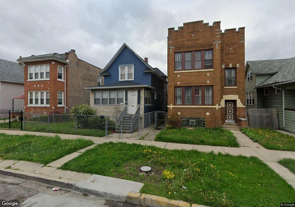
1026 N Menard Ave Chicago, IL 60651
Austin NeighborhoodEstimated Value: $186,000 - $283,000
3
Beds
1
Bath
1,224
Sq Ft
$190/Sq Ft
Est. Value
About This Home
This home is located at 1026 N Menard Ave, Chicago, IL 60651 and is currently estimated at $232,241, approximately $189 per square foot. 1026 N Menard Ave is a home located in Cook County with nearby schools including The Field School, St Angela Elementary School, and St Paul Lutheran School.
Ownership History
Date
Name
Owned For
Owner Type
Purchase Details
Closed on
Jan 29, 1999
Sold by
Smith Odell
Bought by
Johnson Levarn R
Current Estimated Value
Home Financials for this Owner
Home Financials are based on the most recent Mortgage that was taken out on this home.
Original Mortgage
$83,420
Outstanding Balance
$18,122
Interest Rate
6.81%
Estimated Equity
$214,119
Purchase Details
Closed on
Feb 8, 1994
Sold by
Starkley Tambra
Bought by
Smith Odell
Home Financials for this Owner
Home Financials are based on the most recent Mortgage that was taken out on this home.
Original Mortgage
$42,750
Interest Rate
7.05%
Create a Home Valuation Report for This Property
The Home Valuation Report is an in-depth analysis detailing your home's value as well as a comparison with similar homes in the area
Home Values in the Area
Average Home Value in this Area
Purchase History
| Date | Buyer | Sale Price | Title Company |
|---|---|---|---|
| Johnson Levarn R | $86,000 | -- | |
| Smith Odell | $30,000 | -- |
Source: Public Records
Mortgage History
| Date | Status | Borrower | Loan Amount |
|---|---|---|---|
| Open | Johnson Levarn R | $83,420 | |
| Previous Owner | Smith Odell | $42,750 |
Source: Public Records
Tax History
| Year | Tax Paid | Tax Assessment Tax Assessment Total Assessment is a certain percentage of the fair market value that is determined by local assessors to be the total taxable value of land and additions on the property. | Land | Improvement |
|---|---|---|---|---|
| 2025 | $2,254 | $16,000 | $5,208 | $10,792 |
| 2024 | $2,254 | $16,000 | $5,208 | $10,792 |
| 2023 | $2,176 | $14,000 | $4,123 | $9,877 |
| 2022 | $2,176 | $14,000 | $4,123 | $9,877 |
| 2021 | $2,146 | $14,000 | $4,123 | $9,877 |
| 2020 | $2,272 | $13,301 | $3,689 | $9,612 |
| 2019 | $2,280 | $14,779 | $3,689 | $11,090 |
| 2018 | $2,241 | $14,779 | $3,689 | $11,090 |
| 2017 | $1,885 | $12,130 | $3,255 | $8,875 |
| 2016 | $1,929 | $12,130 | $3,255 | $8,875 |
| 2015 | $1,835 | $12,637 | $3,255 | $9,382 |
| 2014 | $1,651 | $11,469 | $3,038 | $8,431 |
| 2013 | $1,608 | $11,469 | $3,038 | $8,431 |
Source: Public Records
Map
Nearby Homes
- 1118 N Monitor Ave
- 5828 W Iowa St
- 5636 W Division St
- 914 N Austin Blvd Unit A5
- 19 Augusta St
- 830 N Austin Blvd
- 5511 W Haddon Ave
- 1318 N Menard Ave
- 5718 W Superior St
- 5517 W Rice St
- 5527 W Potomac Ave
- 930 N Taylor Ave
- 5416 W Thomas St
- 5943 W Huron St
- 511 N Taylor Ave
- 1418 N Mayfield Ave
- 5901 W Erie St
- 841 N Lombard Ave
- 1429 N Mason Ave
- 5847 W Erie St
- 1028 N Menard Ave
- 1022 N Menard Ave
- 1022 N Menard Ave
- 1022 N Menard Ave Unit 2
- 1032 N Menard Ave
- 1018 N Menard Ave
- 1016 N Menard Ave
- 1036 N Menard Ave
- 1014 N Menard Ave
- 1040 N Menard Ave
- 1025 N Monitor Ave
- 1027 N Monitor Ave
- 1023 N Monitor Ave
- 1019 N Monitor Ave
- 1027 N Menard Ave
- 1029 N Menard Ave Unit 1
- 1029 N Menard Ave
- 1037 N Monitor Ave
- 1008 N Menard Ave
- 1008 N Menard Ave
Your Personal Tour Guide
Ask me questions while you tour the home.