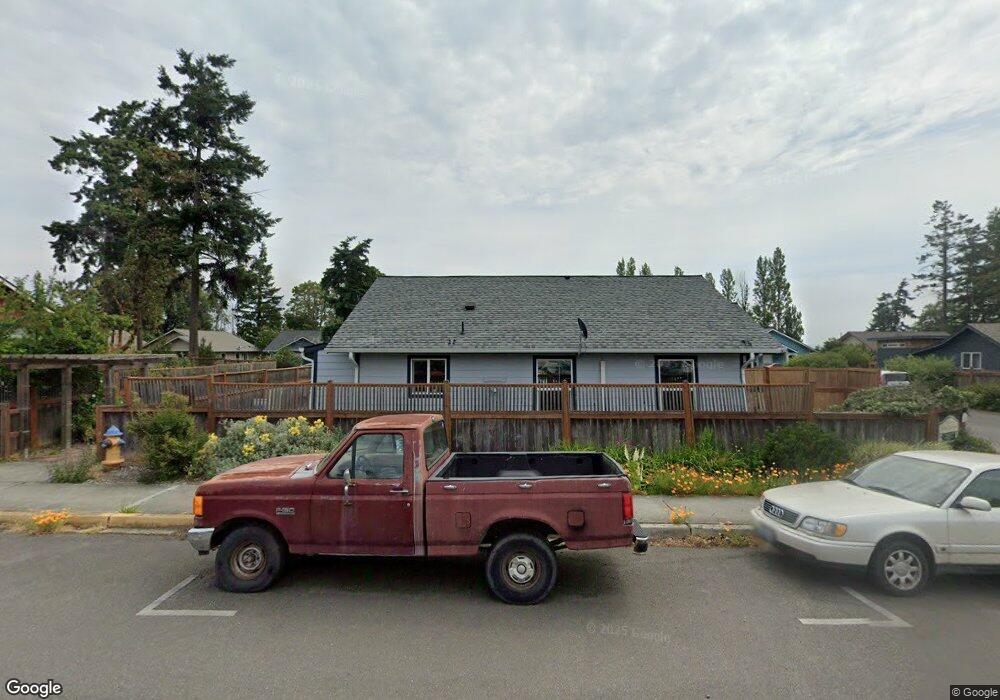
1026 Nora Porter Loop Port Townsend, WA 98368
Estimated Value: $469,000 - $527,000
3
Beds
2
Baths
1,120
Sq Ft
$446/Sq Ft
Est. Value
About This Home
This home is located at 1026 Nora Porter Loop, Port Townsend, WA 98368 and is currently estimated at $499,271, approximately $445 per square foot. 1026 Nora Porter Loop is a home with nearby schools including Salish Coast Elementary School, Blue Heron Middle School, and Port Townsend High School.
Ownership History
Date
Name
Owned For
Owner Type
Purchase Details
Closed on
Sep 8, 2016
Sold by
Habitat For Humanity
Bought by
Martin Jaikob A and Martin Emily
Current Estimated Value
Home Financials for this Owner
Home Financials are based on the most recent Mortgage that was taken out on this home.
Original Mortgage
$160,000
Outstanding Balance
$132,532
Interest Rate
3.48%
Mortgage Type
USDA
Estimated Equity
$366,739
Create a Home Valuation Report for This Property
The Home Valuation Report is an in-depth analysis detailing your home's value as well as a comparison with similar homes in the area
Home Values in the Area
Average Home Value in this Area
Purchase History
| Date | Buyer | Sale Price | Title Company |
|---|---|---|---|
| Martin Jaikob A | $120,000 | Jefferson Title Company Inc |
Source: Public Records
Mortgage History
| Date | Status | Borrower | Loan Amount |
|---|---|---|---|
| Open | Martin Jaikob A | $160,000 |
Source: Public Records
Tax History Compared to Growth
Tax History
| Year | Tax Paid | Tax Assessment Tax Assessment Total Assessment is a certain percentage of the fair market value that is determined by local assessors to be the total taxable value of land and additions on the property. | Land | Improvement |
|---|---|---|---|---|
| 2024 | $3,466 | $409,081 | $126,000 | $283,081 |
| 2023 | $3,466 | $385,773 | $115,000 | $270,773 |
| 2022 | $3,037 | $370,773 | $100,000 | $270,773 |
| 2021 | $2,809 | $312,680 | $81,250 | $231,430 |
| 2020 | $2,650 | $278,989 | $71,500 | $207,489 |
| 2019 | $2,108 | $256,528 | $65,000 | $191,528 |
| 2018 | $2,289 | $221,676 | $52,800 | $168,876 |
| 2017 | $1,752 | $210,497 | $47,250 | $163,247 |
| 2016 | $383 | $171,956 | $47,250 | $124,706 |
| 2015 | -- | $36,750 | $36,750 | $0 |
| 2014 | -- | $36,750 | $36,750 | $0 |
Source: Public Records
Map
Nearby Homes
- 2997 Hancock St
- 1 xxxx Thomas St
- 1011 Thomas St
- 1030 11th St
- 10 NKA Wilson St
- 2012 Queen Anne Place
- 0 13th St Unit NWM2458063
- 0 Sherman St
- 545 Hendricks St Unit 13
- 545 Hendricks St Unit 10A
- 652 Mcpherson St
- 999 Jackman St
- 2289 Towne Point Ave
- 480 State Route 20
- 15 Xx7 Rainier St
- 15 xx Rainier St
- 2257 W Rosecrans Ct
- 1525 Grant St
- 0 Lots 3&4 Grant St Unit NWM2367916
- 1802 Landes St
- 1020 Nora Porter Loop
- 1032 Nora Porter Loop
- 1005 Nora Porter Loop
- 1016 Nora Porter Loop
- 1038 Nora Porter Loop
- 1010 Nora Porter Loop
- 1001 Nora Porter Loop
- 1450 10th St
- 1057 Nora Porter Loop
- 1014 Hancock St
- 1042 Nora Porter Loop
- 1450 1460 10th St
- 1460 10th St
- 1048 Nora Porter Loop
- 1111 Hancock St
- 2506 11th St
- 1464 11th St
- 1052 Nora Porter Loop
- 1515 12th St
- 1406 10th St