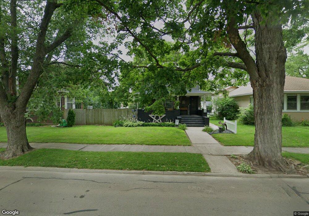
1026 Pershing Blvd Clinton, IA 52732
Estimated Value: $106,093 - $159,000
3
Beds
1
Bath
1,504
Sq Ft
$84/Sq Ft
Est. Value
About This Home
This home is located at 1026 Pershing Blvd, Clinton, IA 52732 and is currently estimated at $127,023, approximately $84 per square foot. 1026 Pershing Blvd is a home located in Clinton County with nearby schools including Whittier Elementary School, Clinton Middle School, and Clinton High School.
Ownership History
Date
Name
Owned For
Owner Type
Purchase Details
Closed on
Jun 1, 2021
Sold by
Walker Cynthia J
Bought by
Wilson Matthew W and Wilson Hailey C
Current Estimated Value
Home Financials for this Owner
Home Financials are based on the most recent Mortgage that was taken out on this home.
Original Mortgage
$37,165
Outstanding Balance
$27,710
Interest Rate
2.3%
Mortgage Type
New Conventional
Estimated Equity
$99,313
Create a Home Valuation Report for This Property
The Home Valuation Report is an in-depth analysis detailing your home's value as well as a comparison with similar homes in the area
Purchase History
| Date | Buyer | Sale Price | Title Company |
|---|---|---|---|
| Wilson Matthew W | $50,000 | None Available | |
| Walker Cynthia J | $52,500 | None Available |
Source: Public Records
Mortgage History
| Date | Status | Borrower | Loan Amount |
|---|---|---|---|
| Open | Walker Cynthia J | $37,165 |
Source: Public Records
Tax History
| Year | Tax Paid | Tax Assessment Tax Assessment Total Assessment is a certain percentage of the fair market value that is determined by local assessors to be the total taxable value of land and additions on the property. | Land | Improvement |
|---|---|---|---|---|
| 2025 | $1,588 | $108,560 | $15,540 | $93,020 |
| 2024 | $1,588 | $95,600 | $15,540 | $80,060 |
| 2023 | $1,562 | $95,600 | $15,540 | $80,060 |
| 2022 | $1,484 | $76,827 | $9,310 | $67,517 |
| 2021 | $1,774 | $76,827 | $9,310 | $67,517 |
| 2019 | $1,830 | $76,827 | $0 | $0 |
| 2018 | $1,782 | $76,827 | $0 | $0 |
| 2017 | $1,834 | $76,827 | $0 | $0 |
| 2016 | $1,574 | $76,827 | $0 | $0 |
| 2015 | $1,574 | $76,827 | $0 | $0 |
| 2014 | $1,580 | $76,827 | $0 | $0 |
| 2013 | $1,554 | $0 | $0 | $0 |
Source: Public Records
Map
Nearby Homes
- 1032 Pershing Blvd
- 1018 Pershing Blvd
- 267 11th Ave N
- 1027 Pershing Blvd
- 1031 Pershing Blvd
- 1019 Pershing Blvd
- 1023 Pershing Blvd
- 1103 Pershing Blvd
- 1008 Pershing Blvd
- 1100 Pershing Blvd
- 1023 N 3rd St
- 1015 Pershing Blvd
- 1004 Pershing Blvd
- 1103 N 3rd St
- 1107 N 3rd St
- 1027 N 3rd St
- 1007 Pershing Blvd
- 1011 Pershing Blvd
- 1011 N 3rd St
- 1115 N 3rd St
Your Personal Tour Guide
Ask me questions while you tour the home.