Estimated Value: $509,196 - $566,000
4
Beds
3
Baths
2,512
Sq Ft
$211/Sq Ft
Est. Value
About This Home
This home is located at 1026 Pheasant Run West Dr, Wixom, MI 48393 and is currently estimated at $529,799, approximately $210 per square foot. 1026 Pheasant Run West Dr is a home located in Oakland County with nearby schools including Walled Lake Elementary School, Sarah G. Banks Middle School, and Walled Lake Western High School.
Ownership History
Date
Name
Owned For
Owner Type
Purchase Details
Closed on
Jul 22, 2015
Sold by
Lantz Kathryn L
Bought by
Fisher Lawrence J and Fisher Kathy M
Current Estimated Value
Home Financials for this Owner
Home Financials are based on the most recent Mortgage that was taken out on this home.
Original Mortgage
$292,600
Outstanding Balance
$229,657
Interest Rate
4.05%
Mortgage Type
New Conventional
Estimated Equity
$300,142
Purchase Details
Closed on
Aug 2, 2002
Sold by
Donald A Bosco Building
Bought by
Lantz Kathryn L
Home Financials for this Owner
Home Financials are based on the most recent Mortgage that was taken out on this home.
Original Mortgage
$244,640
Interest Rate
6.63%
Create a Home Valuation Report for This Property
The Home Valuation Report is an in-depth analysis detailing your home's value as well as a comparison with similar homes in the area
Home Values in the Area
Average Home Value in this Area
Purchase History
| Date | Buyer | Sale Price | Title Company |
|---|---|---|---|
| Fisher Lawrence J | $312,000 | Stg | |
| Lantz Kathryn L | $305,800 | -- |
Source: Public Records
Mortgage History
| Date | Status | Borrower | Loan Amount |
|---|---|---|---|
| Open | Fisher Lawrence J | $292,600 | |
| Previous Owner | Lantz Kathryn L | $244,640 |
Source: Public Records
Tax History Compared to Growth
Tax History
| Year | Tax Paid | Tax Assessment Tax Assessment Total Assessment is a certain percentage of the fair market value that is determined by local assessors to be the total taxable value of land and additions on the property. | Land | Improvement |
|---|---|---|---|---|
| 2024 | $6,166 | $222,280 | $0 | $0 |
| 2023 | $5,840 | $190,850 | $0 | $0 |
| 2022 | $5,866 | $177,030 | $0 | $0 |
| 2021 | $5,813 | $175,400 | $0 | $0 |
| 2020 | $5,613 | $165,030 | $0 | $0 |
| 2019 | $5,843 | $159,250 | $0 | $0 |
| 2018 | $5,930 | $152,180 | $0 | $0 |
| 2017 | $5,856 | $150,620 | $0 | $0 |
| 2016 | $6,206 | $147,590 | $0 | $0 |
| 2015 | -- | $131,520 | $0 | $0 |
| 2014 | -- | $108,750 | $0 | $0 |
| 2011 | -- | $104,340 | $0 | $0 |
Source: Public Records
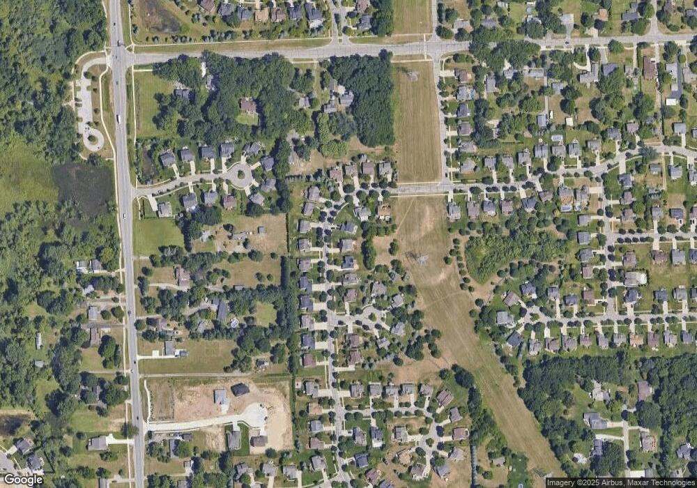
Map
Nearby Homes
- 3184 Roma Ct
- 3202 Roma Ct
- 3201 Roma Ct
- 1369 Flamingo
- 2759 Maple Forest Dr Unit 84
- 2750 Maple Forest Dr
- 2588 Maple Forest Ct
- 746 Red Maple Ln
- 1432 Pond View Ct
- 1470 Nightingale
- 570 Maplewood
- 3584 W Maple Rd
- 3236 Curtis Rd
- 691 Chestnut Dr Unit 24
- 1445 Mariposa Dr
- 3022 Theodore E
- 3010 Theodore
- 2988 Theodore
- 2406 Madison St
- 1255 Andover Dr
- 1026 Pheasant Run Dr W
- 1026 Pheasant Run W
- 1014 Pheasant Run West Dr
- 1058 Pheasant Run West Dr
- 1002 Pheasant Run West Dr
- 1002 Pheasant Run Dr W
- 1104 Pheasant Run West Dr
- 1104 Pheasant Run Dr W
- 1027 Pheasant Run Dr W
- 1041 Pheasant Run
- 1041 Pheasant Run Dr W
- 1122 Pheasant Run West Dr
- 1027 Pheasant Run West Dr
- 1122 Pheasant Run Dr W
- 1013 Pheasant Run West Dr
- 3124 Pheasant Run Ct
- 1041 Pheasant Run West Dr
- 988 Pheasant Run West Dr
- 1055 Pheasant Run West Dr
- 999 Pheasant Run West Dr