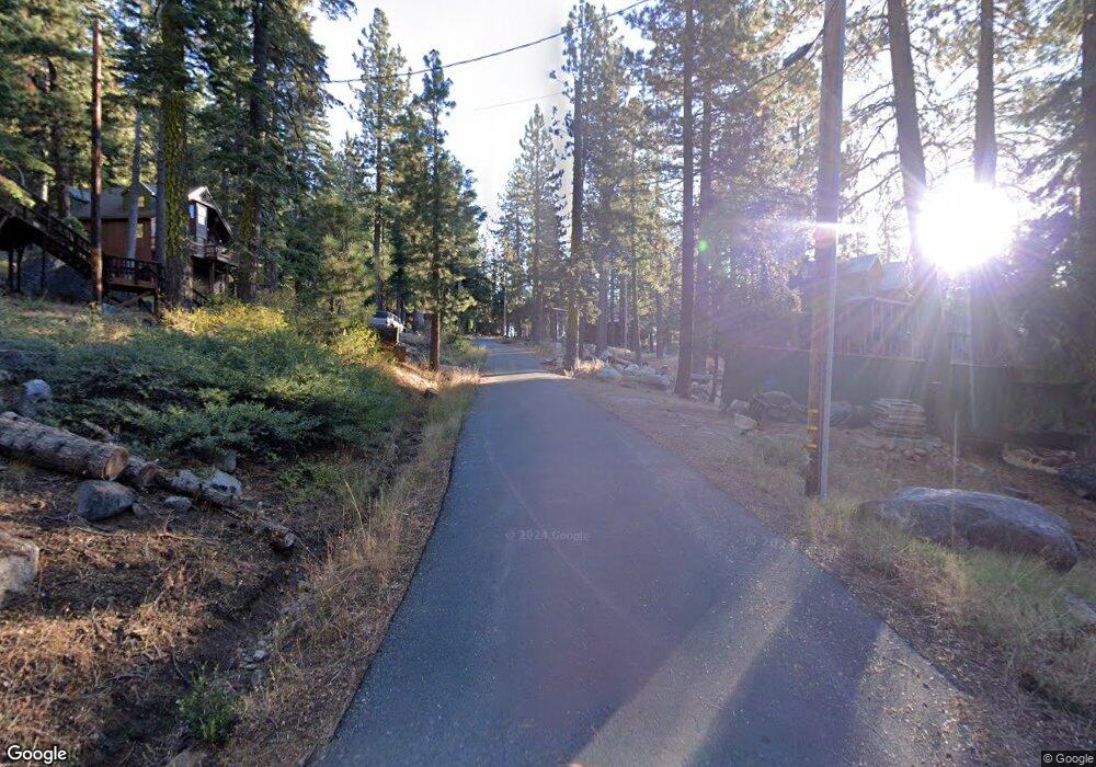
1026 Ponderosa Way Arnold, CA 95223
Estimated Value: $429,000 - $465,000
2
Beds
4
Baths
1,606
Sq Ft
$279/Sq Ft
Est. Value
About This Home
This home is located at 1026 Ponderosa Way, Arnold, CA 95223 and is currently estimated at $448,026, approximately $278 per square foot. 1026 Ponderosa Way is a home with nearby schools including Bret Harte Union High School.
Ownership History
Date
Name
Owned For
Owner Type
Purchase Details
Closed on
Feb 2, 2021
Sold by
Sweet Edward and Sweet Michele B
Bought by
Sweet Edward and Sweet Michele B
Current Estimated Value
Home Financials for this Owner
Home Financials are based on the most recent Mortgage that was taken out on this home.
Original Mortgage
$294,000
Outstanding Balance
$215,980
Interest Rate
2.6%
Mortgage Type
New Conventional
Estimated Equity
$232,046
Purchase Details
Closed on
Jun 24, 2013
Sold by
Sweet Edward and Sweet Michele
Bought by
Sweet Edward and Sweet Michelle B
Purchase Details
Closed on
Aug 4, 2004
Sold by
Netzel Edward L and Netzel Judy
Bought by
Sweet Edward and Sweet Michele
Create a Home Valuation Report for This Property
The Home Valuation Report is an in-depth analysis detailing your home's value as well as a comparison with similar homes in the area
Purchase History
| Date | Buyer | Sale Price | Title Company |
|---|---|---|---|
| Sweet Edward | -- | Placer Title Company | |
| Sweet Edward | -- | None Available | |
| Sweet Edward | $44,000 | First American Title Company |
Source: Public Records
Mortgage History
| Date | Status | Borrower | Loan Amount |
|---|---|---|---|
| Open | Sweet Edward | $294,000 |
Source: Public Records
Tax History
| Year | Tax Paid | Tax Assessment Tax Assessment Total Assessment is a certain percentage of the fair market value that is determined by local assessors to be the total taxable value of land and additions on the property. | Land | Improvement |
|---|---|---|---|---|
| 2025 | $4,134 | $332,786 | $61,321 | $271,465 |
| 2023 | $4,016 | $319,866 | $58,941 | $260,925 |
| 2022 | $3,814 | $313,595 | $57,786 | $255,809 |
| 2021 | $3,796 | $307,447 | $56,653 | $250,794 |
| 2020 | $3,752 | $304,296 | $56,073 | $248,223 |
| 2019 | $3,707 | $298,330 | $54,974 | $243,356 |
| 2018 | $3,486 | $292,482 | $53,897 | $238,585 |
| 2017 | $3,396 | $286,748 | $52,841 | $233,907 |
| 2016 | $3,386 | $281,126 | $51,805 | $229,321 |
| 2015 | -- | $276,904 | $51,027 | $225,877 |
| 2014 | -- | $271,481 | $50,028 | $221,453 |
Source: Public Records
Map
Nearby Homes
- 179 Kitch Trail
- 0 Kitch Trail Unit 225600764
- 0 Kitch Trail Unit 225600765
- 175 Silver Tip Dr
- 2 Blue Rock Trail
- 1 Blue Rock Trail
- 51 Liberty Rd
- 1526 Seminole
- 0 Prather Meadow Rd Unit 225152963
- 60 Liberty Rd
- 54 Liberty Rd
- 39 Liberty Rd
- 116 John Ebbetts Rd
- 200 Creekside Dr
- 360 Schimke Rd
- 0 Flynn Rd
- 5186 Meko Dr
- 4909 Hokan Cir
- 4571 Jibway Dr
- 3043 Shoshone Dr
- 1046 Ponderosa Way
- 1076 Ponderosa Way
- 1053 Ponderosa Way
- 1071 Ponderosa Way
- 990 Ponderosa Way
- 1089 Ponderosa Way
- 1110 Ponderosa Way
- 859 Ponderosa Way
- 841 Ponderosa Way
- 1107 Ponderosa Way
- 970 Ponderosa Way
- 842 Ponderosa Way
- 821 Ponderosa Way
- 930 Ponderosa Way
- 1150 Ponderosa Way
- 866 Ponderosa Way
- 877 Ponderosa Way
- 1121 Ponderosa Way
- 824 Ponderosa Way
- 952 Ponderosa Way
Your Personal Tour Guide
Ask me questions while you tour the home.