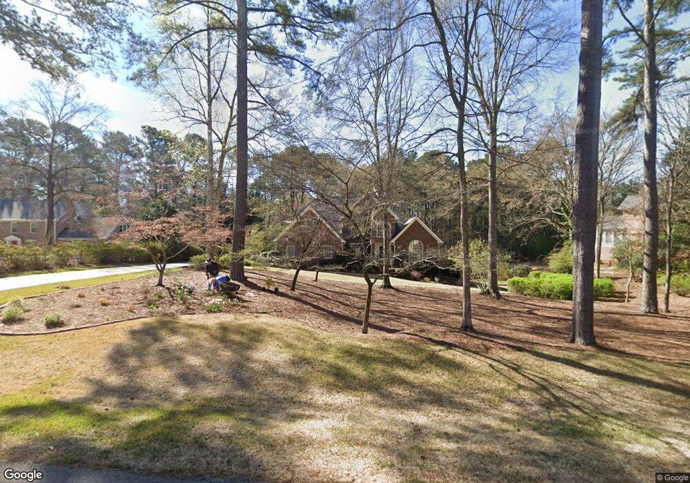
1026 Riverside Dr Lagrange, GA 30240
Estimated Value: $537,620 - $625,000
4
Beds
4
Baths
3,518
Sq Ft
$160/Sq Ft
Est. Value
About This Home
This home is located at 1026 Riverside Dr, Lagrange, GA 30240 and is currently estimated at $561,905, approximately $159 per square foot. 1026 Riverside Dr is a home located in Troup County with nearby schools including Ethel W. Kight Elementary School, Hollis Hand Elementary School, and Franklin Forest Elementary School.
Ownership History
Date
Name
Owned For
Owner Type
Purchase Details
Closed on
Jun 30, 1986
Sold by
Daniel Reality Etal
Bought by
Gregory William C and Eggy Beard
Current Estimated Value
Purchase Details
Closed on
Jun 26, 1986
Sold by
William Clarence Gregory
Bought by
Daniel Reality Etal
Purchase Details
Closed on
Apr 1, 1986
Bought by
William Clarence Gregory
Purchase Details
Closed on
Jan 1, 1981
Create a Home Valuation Report for This Property
The Home Valuation Report is an in-depth analysis detailing your home's value as well as a comparison with similar homes in the area
Home Values in the Area
Average Home Value in this Area
Purchase History
| Date | Buyer | Sale Price | Title Company |
|---|---|---|---|
| Gregory William C | $20,000 | -- | |
| Daniel Reality Etal | -- | -- | |
| William Clarence Gregory | -- | -- | |
| -- | -- | -- |
Source: Public Records
Tax History Compared to Growth
Tax History
| Year | Tax Paid | Tax Assessment Tax Assessment Total Assessment is a certain percentage of the fair market value that is determined by local assessors to be the total taxable value of land and additions on the property. | Land | Improvement |
|---|---|---|---|---|
| 2024 | $4,861 | $180,240 | $26,000 | $154,240 |
| 2023 | $4,761 | $176,560 | $26,000 | $150,560 |
| 2022 | $4,572 | $165,800 | $26,000 | $139,800 |
| 2021 | $4,232 | $142,320 | $26,000 | $116,320 |
| 2020 | $4,232 | $142,320 | $26,000 | $116,320 |
| 2019 | $3,942 | $132,680 | $16,000 | $116,680 |
| 2018 | $3,942 | $132,680 | $16,000 | $116,680 |
| 2017 | $3,942 | $132,680 | $16,000 | $116,680 |
| 2016 | $4,058 | $136,546 | $16,000 | $120,546 |
| 2015 | $4,065 | $136,546 | $16,000 | $120,546 |
| 2014 | $3,890 | $130,518 | $16,000 | $114,518 |
| 2013 | -- | $131,018 | $16,000 | $115,018 |
Source: Public Records
Map
Nearby Homes
- 4004 White Oak Ln
- 709 Vernon Ferry Rd
- 103 Dogwood Ct
- 104 Dogwood Point
- E Angela Dr
- LOT 4 Angela Dr
- 226 Linda Ln
- 0 Deming St Unit 10550189
- 0 Antioch Rd Unit 10656005
- 208 Highland Trail
- 200 Cheyenne Dr
- 641 Whitaker Rd
- 108 Spring Valley Dr
- 104 Spring Valley Dr
- 135 Planters Ridge Dr
- 117 Brookwood Dr
- 0 Cameron Mill Rd Unit 10640133
- 146 Whitaker Rd
- 102 Willowcrest Way
- 124 Foxdale Dr
- 1022 Riverside Dr
- 1020 Riverside Dr
- 1027 Riverside Dr
- 1029 Riverside Dr
- 1030 Riverside Dr
- 1023 Riverside Dr
- 1025 Riverside Dr
- 1031 Riverside Dr
- 1018 Riverside Dr
- 3000 White Oak Ct
- 3006 White Oak Ct
- 1032 Riverside Dr
- 3001 White Oak Ct
- 1037 Riverside Dr
- 1004 Riverside Dr
- 5181/2 Riverside Dr
- 1012 Riverside Dr
- 3008 White Oak Ct
- 0 Riverside Dr Unit 80 8323214
- 1006 Riverside Dr