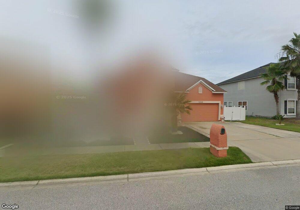
10265 Meadow Pointe Dr Unit 1 Jacksonville, FL 32221
Crystal Springs/Jacksonville Farms NeighborhoodEstimated Value: $368,000 - $564,000
4
Beds
3
Baths
2,901
Sq Ft
$149/Sq Ft
Est. Value
About This Home
This home is located at 10265 Meadow Pointe Dr Unit 1, Jacksonville, FL 32221 and is currently estimated at $433,108, approximately $149 per square foot. 10265 Meadow Pointe Dr Unit 1 is a home located in Duval County with nearby schools including Crystal Springs Elementary School and Edward H. White High School.
Ownership History
Date
Name
Owned For
Owner Type
Purchase Details
Closed on
Jun 28, 2002
Sold by
Mercedes Homes Inc
Bought by
Tumbaga Alejo F and Tumbaga Lydda Z
Current Estimated Value
Home Financials for this Owner
Home Financials are based on the most recent Mortgage that was taken out on this home.
Original Mortgage
$205,507
Outstanding Balance
$88,045
Interest Rate
6.86%
Mortgage Type
VA
Estimated Equity
$345,063
Create a Home Valuation Report for This Property
The Home Valuation Report is an in-depth analysis detailing your home's value as well as a comparison with similar homes in the area
Home Values in the Area
Average Home Value in this Area
Purchase History
| Date | Buyer | Sale Price | Title Company |
|---|---|---|---|
| Tumbaga Alejo F | $199,600 | B D R Title Corp |
Source: Public Records
Mortgage History
| Date | Status | Borrower | Loan Amount |
|---|---|---|---|
| Open | Tumbaga Alejo F | $205,507 |
Source: Public Records
Tax History Compared to Growth
Tax History
| Year | Tax Paid | Tax Assessment Tax Assessment Total Assessment is a certain percentage of the fair market value that is determined by local assessors to be the total taxable value of land and additions on the property. | Land | Improvement |
|---|---|---|---|---|
| 2025 | $2,700 | $186,664 | -- | -- |
| 2024 | $2,619 | $181,404 | -- | -- |
| 2023 | $2,619 | $176,121 | $0 | $0 |
| 2022 | $2,391 | $170,992 | $0 | $0 |
| 2021 | $2,369 | $166,012 | $0 | $0 |
| 2020 | $2,344 | $163,720 | $0 | $0 |
| 2019 | $2,313 | $160,040 | $0 | $0 |
| 2018 | $2,281 | $157,056 | $0 | $0 |
| 2017 | $2,249 | $153,826 | $0 | $0 |
| 2016 | $2,233 | $150,663 | $0 | $0 |
| 2015 | $2,254 | $149,616 | $0 | $0 |
| 2014 | $2,256 | $148,429 | $0 | $0 |
Source: Public Records
Map
Nearby Homes
- 10174 Wood Dove Way Unit 3B
- 10314 Hearthside Dr
- 878 Champion Way
- 919 Cresswell Ln W
- 9736 Cedar Ridge Dr W
- 1528 Blair Rd
- 1431 Blues Creek Dr
- 0 Crystal Springs Rd
- 9691 Cedar Ridge Dr E
- 9733 Peabody Dr N
- 1419 Summit Oaks Dr E
- 1232 Peabody Dr E
- 1254 McGirts Creek Dr E
- 10207 Normandy Cove St
- 627 Whitfield Rd
- 1866 McGirts Point Blvd
- 9731 Villiers Dr S
- 1914 McGirts Bluff Ct
- 1800 Carter Landing Blvd
- 0 Crystal Rd Unit 2012856
- 10271 Meadow Pointe Dr Unit 1
- 10259 Meadow Pointe Dr
- 10259 Meadow Point Dr
- 10277 Meadow Point Dr
- 10253 Meadow Pointe Dr
- 10277 Meadow Pointe Dr
- 10258 Meadow Pointe Dr
- 10270 Meadow Point Dr
- 147 Meadow Point Dr
- 10270 Meadow Pointe Dr
- 10276 Meadow Pointe Dr Unit 1
- 10283 Meadow Point Dr
- 10247 Meadow Pointe Dr Unit 2A
- 10247 Meadow Point Dr
- 10252 Meadow Pointe Dr
- 10283 Meadow Pointe Dr
- 10282 Meadow Pointe Dr Unit 1
- 10246 Meadow Pointe Dr
- 10246 Meadow Pointe Dr
- 10289 Meadow Point Dr