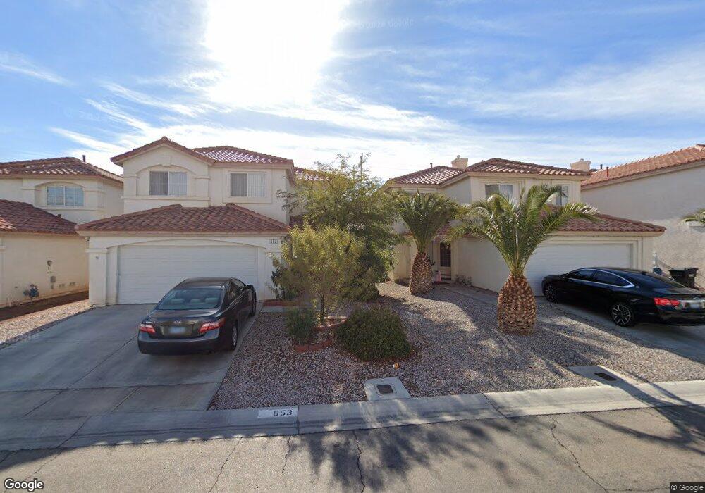
10267 Union Park Ct Unit 2 Las Vegas, NV 89183
Silverado Ranch NeighborhoodEstimated Value: $340,155 - $354,000
2
Beds
2
Baths
1,279
Sq Ft
$271/Sq Ft
Est. Value
About This Home
This home is located at 10267 Union Park Ct Unit 2, Las Vegas, NV 89183 and is currently estimated at $347,039, approximately $271 per square foot. 10267 Union Park Ct Unit 2 is a home located in Clark County with nearby schools including John C. Bass Elementary School, Charles Silvestri Junior High School, and Liberty High School.
Ownership History
Date
Name
Owned For
Owner Type
Purchase Details
Closed on
Jan 23, 2003
Sold by
Kb Home Nevada Inc
Bought by
Alcantara Josefa
Current Estimated Value
Home Financials for this Owner
Home Financials are based on the most recent Mortgage that was taken out on this home.
Original Mortgage
$105,500
Outstanding Balance
$44,843
Interest Rate
5.97%
Estimated Equity
$302,196
Create a Home Valuation Report for This Property
The Home Valuation Report is an in-depth analysis detailing your home's value as well as a comparison with similar homes in the area
Home Values in the Area
Average Home Value in this Area
Purchase History
| Date | Buyer | Sale Price | Title Company |
|---|---|---|---|
| Alcantara Josefa | $131,937 | First American Title Company |
Source: Public Records
Mortgage History
| Date | Status | Borrower | Loan Amount |
|---|---|---|---|
| Open | Alcantara Josefa | $105,500 |
Source: Public Records
Tax History Compared to Growth
Tax History
| Year | Tax Paid | Tax Assessment Tax Assessment Total Assessment is a certain percentage of the fair market value that is determined by local assessors to be the total taxable value of land and additions on the property. | Land | Improvement |
|---|---|---|---|---|
| 2025 | $1,024 | $78,066 | $31,150 | $46,916 |
| 2024 | $994 | $78,066 | $31,150 | $46,916 |
| 2023 | $994 | $69,821 | $25,550 | $44,271 |
| 2022 | $966 | $60,953 | $20,650 | $40,303 |
| 2021 | $938 | $57,570 | $19,250 | $38,320 |
| 2020 | $907 | $57,289 | $19,250 | $38,039 |
| 2019 | $881 | $53,516 | $16,100 | $37,416 |
| 2018 | $855 | $48,286 | $12,600 | $35,686 |
| 2017 | $1,396 | $47,588 | $11,550 | $36,038 |
| 2016 | $811 | $43,778 | $8,750 | $35,028 |
| 2015 | $808 | $34,405 | $6,650 | $27,755 |
| 2014 | $785 | $25,958 | $3,500 | $22,458 |
Source: Public Records
Map
Nearby Homes
- 10266 Martinsburg Ct
- 680 Steep Canyon Ave
- 10208 Ghost Gum St
- 10339 Baby Bud St
- 10133 Rice Paper St
- 638 Ribbon Grass Ave
- 628 Soaring Wings Ave
- 508 Candy Mint Ave
- 10366 Emerald Rye St
- 10374 Baby Bud St
- 10142 Rice Paper St
- 10164 Tree Bark St
- 645 Soaring Wings Ave
- 10366 Midseason Mist St
- 647 Great River Ave
- 10414 Midseason Mist St
- 10151 Tumbling Tree St
- 10025 Catseye Cove Ct
- 10013 Solid Lime St
- 506 Green Gables Ave
- 10268 Union Park Ct Unit 2
- 10266 Pennypack Ct
- 651 Porchtown Ave
- 645 Porchtown Ave Unit 2
- 10262 Union Park Ct
- 657 Porchtown Ave
- 10260 Pennypack Ct Unit 2
- 10255 Union Park Ct
- 639 Porchtown Ave Unit SFR
- 639 Porchtown Ave
- 10256 Union Park Ct
- 663 Porchtown Ave
- 10254 Pennypack Ct
- 633 Porchtown Ave Unit 2
- 10269 Trinidad Ct
- 10265 Pennypack Ct
- 669 Porchtown Ave Unit 2
- 10263 Trinidad Ct
- 10259 Pennypack Ct
- 650 Columbia Pike Ave