1027 Lewis St Tignall, GA 30668
Estimated Value: $189,310 - $338,000
4
Beds
2
Baths
1,344
Sq Ft
$206/Sq Ft
Est. Value
About This Home
This home is located at 1027 Lewis St, Tignall, GA 30668 and is currently estimated at $276,578, approximately $205 per square foot. 1027 Lewis St is a home located in Lincoln County with nearby schools including Lincoln County Elementary School, Lincoln County Middle School, and Lincoln County High School.
Ownership History
Date
Name
Owned For
Owner Type
Purchase Details
Closed on
Dec 12, 1984
Sold by
Lincolnton United Methodist Church
Bought by
Kearse Jackson L
Current Estimated Value
Purchase Details
Closed on
Aug 18, 1983
Sold by
Reese Rachel Y and Gray Reese
Bought by
Lincolnton United Methodist Church
Purchase Details
Closed on
May 17, 1966
Sold by
Young William F
Bought by
Reese Rachel Y and Gray Reese
Create a Home Valuation Report for This Property
The Home Valuation Report is an in-depth analysis detailing your home's value as well as a comparison with similar homes in the area
Home Values in the Area
Average Home Value in this Area
Purchase History
| Date | Buyer | Sale Price | Title Company |
|---|---|---|---|
| Kearse Jackson L | $1,300 | -- | |
| Lincolnton United Methodist Church | -- | -- | |
| Reese Rachel Y | -- | -- |
Source: Public Records
Tax History Compared to Growth
Tax History
| Year | Tax Paid | Tax Assessment Tax Assessment Total Assessment is a certain percentage of the fair market value that is determined by local assessors to be the total taxable value of land and additions on the property. | Land | Improvement |
|---|---|---|---|---|
| 2025 | $1,118 | $42,680 | $1,440 | $41,240 |
| 2024 | $1,049 | $39,280 | $1,440 | $37,840 |
| 2023 | $491 | $34,528 | $1,440 | $33,088 |
| 2022 | $854 | $33,168 | $1,440 | $31,728 |
| 2021 | $840 | $30,240 | $1,440 | $28,800 |
| 2020 | $744 | $24,080 | $1,440 | $22,640 |
| 2019 | $746 | $24,080 | $1,440 | $22,640 |
| 2018 | $757 | $24,080 | $1,440 | $22,640 |
| 2017 | $810 | $25,760 | $1,280 | $24,480 |
| 2016 | $736 | $25,760 | $1,280 | $24,480 |
| 2015 | -- | $27,560 | $1,280 | $26,280 |
| 2014 | -- | $27,560 | $1,280 | $26,280 |
| 2013 | -- | $27,080 | $1,280 | $25,800 |
Source: Public Records
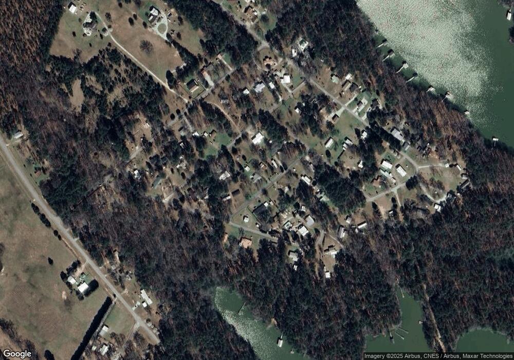
Map
Nearby Homes
- 1051 Macdonald St
- 12 Doe Run
- 1235 Edge Ln
- 1229 Edge Ln
- 1223 Edge Ln
- 1217 Edge Ln
- 1277 Edge Ln
- 1210 Edge Ln
- 1070 Cody Trail
- 1039 Merganser Cove
- 1252 Rogers Rd
- 0 Doe Dr
- 1103 Winding Ridge Dr
- 1120 Hardwood Dr
- 07 Savannah Bay Dr
- 06 Savannah Bay Dr
- 10B Savannah Bay Dr
- 1034 N Pointe Ct
- 1034 Shore Line Dr
- 1139 Hester S Ferry Rd
- 1011 Lewis St
- 1030 Lewis St
- 1036 Macdonald St
- 1055 Lewis St
- 1005 Lewis St
- 1038 Lewis St
- 1016 Lewis St
- 1016 Lewis St
- 1016 Lewis Crook Rd
- 1030 Lewis St
- 1030 Lewis Crook Rd
- 1099 Shore Line Dr
- 1058 Lewis St
- 1059 Macdonald St
- 1040 Camden St
- 1169 Shore Line Dr
- 1100 Shore Line Dr
- 1117 Shore Line Dr
- 1117 Shore Line Dr
- 1114 Shore Line Dr