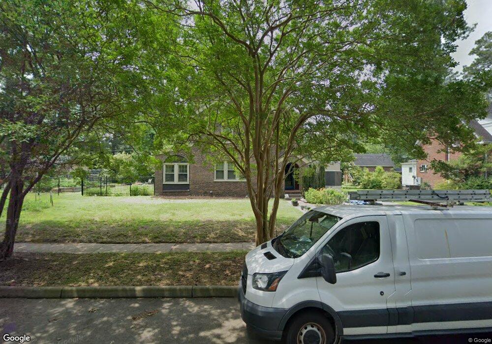
1027 Maryland Ave Suffolk, VA 23434
Holy Neck NeighborhoodEstimated Value: $317,000 - $348,878
4
Beds
2
Baths
1,960
Sq Ft
$172/Sq Ft
Est. Value
About This Home
This home is located at 1027 Maryland Ave, Suffolk, VA 23434 and is currently estimated at $337,470, approximately $172 per square foot. 1027 Maryland Ave is a home located in Suffolk City with nearby schools including Elephant's Fork Elementary School, King's Fork Middle School, and King's Fork High School.
Ownership History
Date
Name
Owned For
Owner Type
Purchase Details
Closed on
Aug 7, 2018
Sold by
Wiatt Robin Annette
Bought by
Chunderlik Matthew G
Current Estimated Value
Home Financials for this Owner
Home Financials are based on the most recent Mortgage that was taken out on this home.
Original Mortgage
$215,033
Outstanding Balance
$186,747
Interest Rate
4.5%
Mortgage Type
FHA
Estimated Equity
$150,723
Create a Home Valuation Report for This Property
The Home Valuation Report is an in-depth analysis detailing your home's value as well as a comparison with similar homes in the area
Home Values in the Area
Average Home Value in this Area
Purchase History
| Date | Buyer | Sale Price | Title Company |
|---|---|---|---|
| Chunderlik Matthew G | $219,000 | Attorney |
Source: Public Records
Mortgage History
| Date | Status | Borrower | Loan Amount |
|---|---|---|---|
| Open | Chunderlik Matthew G | $215,033 |
Source: Public Records
Tax History Compared to Growth
Tax History
| Year | Tax Paid | Tax Assessment Tax Assessment Total Assessment is a certain percentage of the fair market value that is determined by local assessors to be the total taxable value of land and additions on the property. | Land | Improvement |
|---|---|---|---|---|
| 2024 | $2,982 | $285,000 | $72,200 | $212,800 |
| 2023 | $3,443 | $269,000 | $72,200 | $196,800 |
| 2022 | $2,700 | $247,700 | $65,600 | $182,100 |
| 2021 | $2,603 | $234,500 | $52,500 | $182,000 |
| 2020 | $2,360 | $212,600 | $52,500 | $160,100 |
| 2019 | $2,360 | $212,600 | $52,500 | $160,100 |
| 2018 | $2,427 | $206,700 | $52,500 | $154,200 |
| 2017 | $2,212 | $206,700 | $52,500 | $154,200 |
| 2016 | $2,212 | $206,700 | $52,500 | $154,200 |
| 2015 | $1,174 | $214,000 | $52,500 | $161,500 |
| 2014 | $1,174 | $214,000 | $52,500 | $161,500 |
Source: Public Records
Map
Nearby Homes
- 1013 Virginia Ave
- 921 Howard Place
- 117 Park Rd
- 916 Delaware Ave
- 708 Maryland Ave
- 205 Bosley Ave
- 211 S Broad St
- 207 Pitchkettle Rd
- 822 2nd Ave
- 917 Garfield Ave
- 118 S Broad St
- 309 Linden Ave
- 812 Battery Ave
- 814 Battery Ave
- 717 Ashley Ave
- 707 Ashley Ave
- 308 Linden Ave
- 314 Linden Ave
- 203 Saint James Ave
- 509 Pitchkettle Rd
- 1029 Maryland Ave
- 1017 Maryland Ave
- 1024 Virginia Ave
- 1030 Virginia Ave
- 1022 Virginia Ave
- 1020 Maryland Ave
- 1018 Maryland Ave
- 1015 Maryland Ave
- 1100 Lake Point Ln
- 1016 Maryland Ave
- 1020 Virginia Ave
- 1101 Lake Point Ln
- 1029 Virginia Ave
- 1025 Virginia Ave
- 1013 Maryland Ave
- 1102 Lake Point Ln
- 402 Princeton Rd
- 1103 Lake Point Ln
- 1028 Pennsylvania Ave
- 1026 Pennsylvania Ave