1027 Parks Ln Tignall, GA 30668
Estimated Value: $395,353 - $633,000
3
Beds
2
Baths
1,728
Sq Ft
$299/Sq Ft
Est. Value
About This Home
This home is located at 1027 Parks Ln, Tignall, GA 30668 and is currently estimated at $516,338, approximately $298 per square foot. 1027 Parks Ln is a home with nearby schools including Lincoln County Elementary School, Lincoln County Middle School, and Lincoln County High School.
Ownership History
Date
Name
Owned For
Owner Type
Purchase Details
Closed on
Jun 25, 2025
Sold by
B & M Land Trust
Bought by
Crook Deana B
Current Estimated Value
Purchase Details
Closed on
Sep 28, 2021
Sold by
Brown Mark S
Bought by
B & M Land Trust
Purchase Details
Closed on
May 19, 2006
Sold by
Bessinger Furman
Bought by
Brown Mark S
Home Financials for this Owner
Home Financials are based on the most recent Mortgage that was taken out on this home.
Original Mortgage
$107,000
Interest Rate
6.44%
Mortgage Type
New Conventional
Purchase Details
Closed on
Aug 1, 1961
Sold by
Usa
Bought by
Bessinger Furman
Create a Home Valuation Report for This Property
The Home Valuation Report is an in-depth analysis detailing your home's value as well as a comparison with similar homes in the area
Home Values in the Area
Average Home Value in this Area
Purchase History
| Date | Buyer | Sale Price | Title Company |
|---|---|---|---|
| Crook Deana B | -- | -- | |
| B & M Land Trust | $324,000 | -- | |
| Brown Mark S | $76,000 | -- | |
| Bessinger Furman | $500 | -- |
Source: Public Records
Mortgage History
| Date | Status | Borrower | Loan Amount |
|---|---|---|---|
| Previous Owner | Brown Mark S | $107,000 |
Source: Public Records
Tax History Compared to Growth
Tax History
| Year | Tax Paid | Tax Assessment Tax Assessment Total Assessment is a certain percentage of the fair market value that is determined by local assessors to be the total taxable value of land and additions on the property. | Land | Improvement |
|---|---|---|---|---|
| 2025 | $3,465 | $129,864 | $28,800 | $101,064 |
| 2024 | $3,226 | $121,544 | $28,800 | $92,744 |
| 2023 | $3,361 | $119,280 | $28,800 | $90,480 |
| 2022 | $3,113 | $116,160 | $28,800 | $87,360 |
| 2021 | $3,117 | $105,208 | $28,800 | $76,408 |
| 2020 | $2,694 | $77,048 | $28,800 | $48,248 |
| 2019 | $2,704 | $77,048 | $28,800 | $48,248 |
| 2018 | $2,422 | $77,048 | $28,800 | $48,248 |
| 2017 | $2,438 | $77,560 | $24,000 | $53,560 |
| 2016 | $2,594 | $77,560 | $24,000 | $53,560 |
| 2015 | -- | $77,560 | $24,000 | $53,560 |
| 2014 | -- | $81,040 | $27,480 | $53,560 |
| 2013 | -- | $81,040 | $27,480 | $53,560 |
Source: Public Records
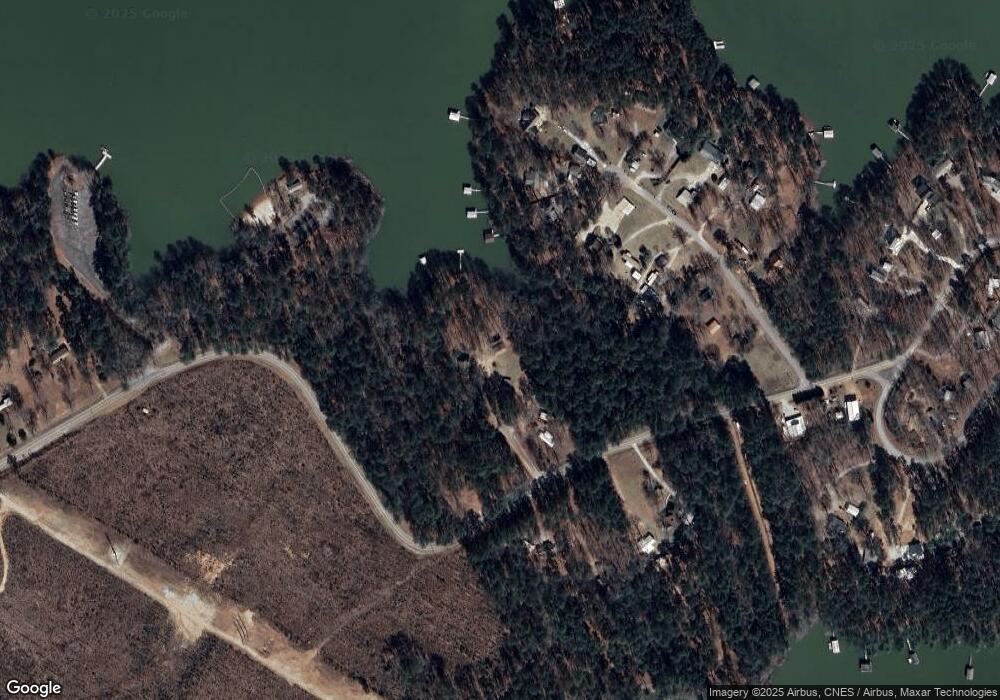
Map
Nearby Homes
- 1695 Buckhead Dr
- 1555 Treasure Cove
- 1108 Sunset Cove
- 1584 Treasure Ln
- 1066 Pine Dr
- 1192 Sunset Cove
- 1198 Sunset Cove
- 1126 Sunset Cove
- 1272 Sunset Cove
- 1549 Treasure Ln
- 11 Doe Run
- 1054 Pine Point Ln
- 1151 Buckhead Dr
- 1105 Shore Dr
- 29 Eagle Pointe
- 1098 Chennault Dr
- 1078 Chennault Dr
- 1416 Rock Point Cove
- 1117 Watersedge Cove
- 1026 Parks Ln
- 1080 Latham Ln
- 1090 Latham Ln
- 1110 (a) Pistol Creek Rd
- 1110 Pistol Creek Rd
- 1054 Latham Ln
- 1068 Latham Ln Unit 16
- 1068 Latham Ln
- 00 Pistol Creek Rd
- LOT 36 Pistol Creek Rd
- 0 Pistol Creek Rd Unit 250342
- 0 Pistol Creek Rd Unit 275145
- 0 Pistol Creek Rd Unit .8 Ac 8943126
- 0.8 Ac Pistol Creek Rd
- 1094 Latham Ln
- 1042 Latham Ln
- 1128 Pistol Creek Rd
- 1128 Pistol Creek Rd
- 1026 Latham Ln
- 1100 Latham Ln