Estimated Value: $503,000 - $578,000
4
Beds
3
Baths
2,518
Sq Ft
$211/Sq Ft
Est. Value
About This Home
This home is located at 1027 Pheasant Run Dr W, Wixom, MI 48393 and is currently estimated at $530,435, approximately $210 per square foot. 1027 Pheasant Run Dr W is a home located in Oakland County with nearby schools including Walled Lake Elementary School, Sarah G. Banks Middle School, and Walled Lake Western High School.
Ownership History
Date
Name
Owned For
Owner Type
Purchase Details
Closed on
Jun 29, 2011
Sold by
Meza Emad
Bought by
Meza Emad and Abdul Ahad Jouman Joseph
Current Estimated Value
Purchase Details
Closed on
Dec 28, 2010
Sold by
Toomukuntla Ram R and Katukuri Subhashini
Bought by
Federal Home Loan Mortgage Corp
Purchase Details
Closed on
May 11, 2010
Sold by
Toomukuntia Ram and Katukuri Subhashine
Bought by
Comerica Bank
Purchase Details
Closed on
Oct 19, 2001
Sold by
Donald A Bosco Building
Bought by
Toomukuntla Ram R
Home Financials for this Owner
Home Financials are based on the most recent Mortgage that was taken out on this home.
Original Mortgage
$235,750
Interest Rate
6.69%
Purchase Details
Closed on
Mar 1, 2000
Sold by
Gerald Roux Homes Wildwo
Bought by
Donald A Bosco Bldg Inc
Create a Home Valuation Report for This Property
The Home Valuation Report is an in-depth analysis detailing your home's value as well as a comparison with similar homes in the area
Home Values in the Area
Average Home Value in this Area
Purchase History
| Date | Buyer | Sale Price | Title Company |
|---|---|---|---|
| Meza Emad | -- | None Available | |
| Federal Home Loan Mortgage Corp | $121,142 | None Available | |
| Comerica Bank | $72,786 | None Available | |
| Toomukuntla Ram R | $294,736 | -- | |
| Donald A Bosco Bldg Inc | -- | -- |
Source: Public Records
Mortgage History
| Date | Status | Borrower | Loan Amount |
|---|---|---|---|
| Previous Owner | Toomukuntla Ram R | $235,750 |
Source: Public Records
Tax History Compared to Growth
Tax History
| Year | Tax Paid | Tax Assessment Tax Assessment Total Assessment is a certain percentage of the fair market value that is determined by local assessors to be the total taxable value of land and additions on the property. | Land | Improvement |
|---|---|---|---|---|
| 2024 | $4,480 | $229,220 | $0 | $0 |
| 2023 | $4,245 | $196,540 | $0 | $0 |
| 2022 | $4,263 | $182,300 | $0 | $0 |
| 2021 | $4,229 | $180,690 | $0 | $0 |
| 2020 | $4,084 | $170,130 | $0 | $0 |
| 2019 | $4,248 | $164,000 | $0 | $0 |
| 2018 | $4,311 | $155,610 | $0 | $0 |
| 2017 | $4,256 | $154,070 | $0 | $0 |
| 2016 | $4,238 | $150,940 | $0 | $0 |
| 2015 | -- | $134,670 | $0 | $0 |
| 2014 | -- | $111,300 | $0 | $0 |
| 2011 | -- | $103,650 | $0 | $0 |
Source: Public Records
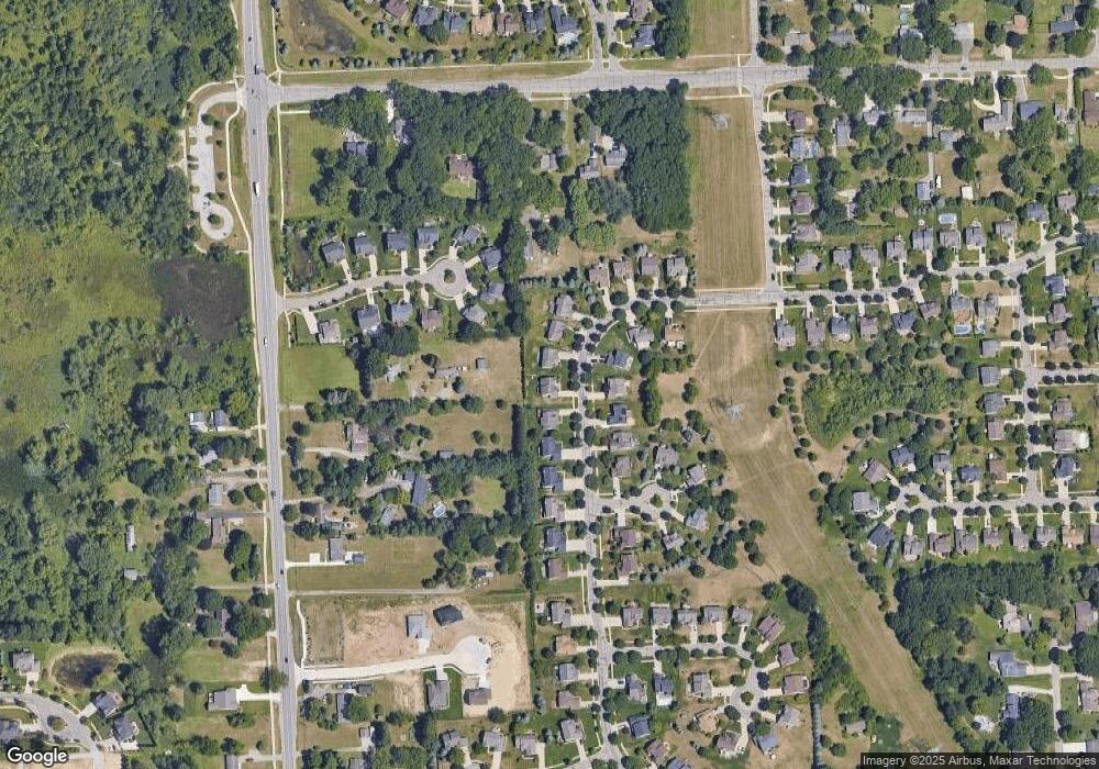
Map
Nearby Homes
- 3184 Roma Ct
- 3202 Roma Ct
- 3201 Roma Ct
- 1369 Flamingo
- 1432 Pond View Ct
- 2759 Maple Forest Dr Unit 84
- 2750 Maple Forest Dr
- 1470 Nightingale
- 2588 Maple Forest Ct
- 746 Red Maple Ln
- 3584 W Maple Rd
- 570 Maplewood
- 1445 Mariposa Dr
- 3236 Curtis Rd
- 691 Chestnut Dr Unit 24
- 3022 Theodore E
- 3010 Theodore
- 2988 Theodore
- 2406 Madison St
- 1255 Andover Dr
- 1027 Pheasant Run West Dr
- 1013 Pheasant Run West Dr
- 1041 Pheasant Run
- 1041 Pheasant Run Dr W
- 1041 Pheasant Run West Dr
- 999 Pheasant Run West Dr
- 1026 Pheasant Run Dr W
- 1055 Pheasant Run West Dr
- 1026 Pheasant Run West Dr
- 1058 Pheasant Run West Dr
- 1014 Pheasant Run West Dr
- 1026 Pheasant Run W
- 1069 Pheasant Run Dr W
- 1002 Pheasant Run West Dr
- 1069 Pheasant Run West Dr
- 985 Pheasant Run West Dr
- 985 Pheasant Run W
- 985 Pheasant Run Dr W
- 1002 Pheasant Run Dr W
- 3227 Terra Ct