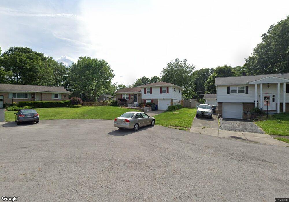
1027 Sutton Place Reynoldsburg, OH 43068
Glenmeadows NeighborhoodEstimated Value: $211,000 - $260,000
3
Beds
2
Baths
1,144
Sq Ft
$205/Sq Ft
Est. Value
About This Home
This home is located at 1027 Sutton Place, Reynoldsburg, OH 43068 and is currently estimated at $234,113, approximately $204 per square foot. 1027 Sutton Place is a home located in Franklin County with nearby schools including Olde Orchard Elementary School, Sherwood Middle School, and Walnut Ridge High School.
Ownership History
Date
Name
Owned For
Owner Type
Purchase Details
Closed on
May 27, 2005
Sold by
Fields Alan K
Bought by
Fields Traci L
Current Estimated Value
Purchase Details
Closed on
Aug 8, 2003
Sold by
Fields Traci L
Bought by
Fields Traci L and Fields Alan K
Home Financials for this Owner
Home Financials are based on the most recent Mortgage that was taken out on this home.
Original Mortgage
$62,823
Interest Rate
4.7%
Mortgage Type
Purchase Money Mortgage
Purchase Details
Closed on
Jul 15, 2003
Sold by
Fields Alan K
Bought by
Fields Traci L
Home Financials for this Owner
Home Financials are based on the most recent Mortgage that was taken out on this home.
Original Mortgage
$62,823
Interest Rate
4.7%
Mortgage Type
Purchase Money Mortgage
Purchase Details
Closed on
Mar 22, 1990
Bought by
Fields Alan K
Purchase Details
Closed on
Apr 12, 1988
Purchase Details
Closed on
Jul 1, 1984
Create a Home Valuation Report for This Property
The Home Valuation Report is an in-depth analysis detailing your home's value as well as a comparison with similar homes in the area
Home Values in the Area
Average Home Value in this Area
Purchase History
| Date | Buyer | Sale Price | Title Company |
|---|---|---|---|
| Fields Traci L | $50,000 | -- | |
| Fields Traci L | $50,600 | -- | |
| Fields Traci L | $63,500 | Real Living Title | |
| Fields Alan K | $73,000 | -- | |
| -- | -- | -- | |
| -- | $56,000 | -- |
Source: Public Records
Mortgage History
| Date | Status | Borrower | Loan Amount |
|---|---|---|---|
| Previous Owner | Fields Traci L | $62,823 |
Source: Public Records
Tax History Compared to Growth
Tax History
| Year | Tax Paid | Tax Assessment Tax Assessment Total Assessment is a certain percentage of the fair market value that is determined by local assessors to be the total taxable value of land and additions on the property. | Land | Improvement |
|---|---|---|---|---|
| 2024 | $2,866 | $63,850 | $17,960 | $45,890 |
| 2023 | $2,829 | $63,850 | $17,960 | $45,890 |
| 2022 | $2,358 | $45,470 | $23,590 | $21,880 |
| 2021 | $2,362 | $45,470 | $23,590 | $21,880 |
| 2020 | $2,366 | $45,470 | $23,590 | $21,880 |
| 2019 | $2,297 | $37,870 | $19,670 | $18,200 |
| 2018 | $2,152 | $37,870 | $19,670 | $18,200 |
| 2017 | $2,256 | $37,870 | $19,670 | $18,200 |
| 2016 | $2,216 | $33,460 | $8,120 | $25,340 |
| 2015 | $2,012 | $33,460 | $8,120 | $25,340 |
| 2014 | $2,017 | $33,460 | $8,120 | $25,340 |
| 2013 | $1,047 | $35,210 | $8,540 | $26,670 |
Source: Public Records
Map
Nearby Homes
- 6495 Balsam Dr
- 6483 Borr Ave
- 6568 Shenandoah Dr
- 6626 Red Fox Rd
- 0 Rosehill Rd
- 6231 Peach Tree Rd
- 6737 Rocky Den Rd
- 6810 Prior Place
- 6840 Tanya Terrace
- 6279 Braiden Ct Unit 10B
- 807 McNaughten Rd
- 651 Cranfield Place
- 6849 Roundelay Rd N
- 557 Woodingham Place Unit 1A
- 541 Woodingham Place Unit 2-C
- 6930 Tanya Terrace
- 856 Cummington Rd
- 1094 Briarcliff Rd
- 1080 Briarcliff Rd
- 6992 Roundelay Rd S
- 1019 Sutton Place
- 6417 Carriage Ln
- 1012 Brice Rd
- 1011 Sutton Place
- 1024 Brice Rd
- 6425 Carriage Ln
- 1000 Brice Rd
- 1003 Sutton Place
- 6433 Carriage Ln
- 1012 Sutton Place
- 6384 Norfolk Dr
- 6378 Norfolk Dr
- 6392 Norfolk Dr
- 1046 Brice Rd
- 6439 Carriage Ln
- 6419 Balsam Dr
- 6400 Norfolk Dr
- 6401 Balsam Dr
- 6440 Carriage Ln
- 1000 Sutton Place